Starting point: Rogarjev rovt (1175 m)
Starting point Lat/Lon: 46.464°N 14.0111°E 
Time of walking: 1 h 30 min
Difficulty: easy unmarked way
Difficulty of skiing: no data
Altitude difference: 578 m
Altitude difference (by path): 578 m
Map: Karavanke - osrednji del 1:50.000
Access to starting point:
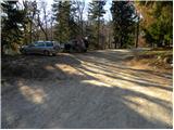
From the Ljubljana–Jesenice highway, take the Jesenice–east (Lipce) exit, then continue driving towards Jesenice. At the traffic-light intersection in Slovenski Javornik, continue left towards the center of Jesenice and Kranjska Gora, while we drive along the main road to the intersection where signs for Golica and Planina pod Golico direct us right onto an ascending road. Follow the road towards Planina pod Golico to the sharp right bend, where we turn left in the direction of Plavški Rovt. Above Plavški Rovt the asphalt ends, and the road even descends a little for a while. A little higher we arrive at an intersection, where signs for Dovje 9 km direct us sharply left onto a steeper macadam road again. From the intersection onwards, follow the road for another good 2 km, or more precisely to Rogarjev rovt, which we recognize by a few weekend cottages. Park at a suitable place by the smaller intersection, where an unmarked and worse forest road branches off to the right towards Hruška planina.
Path description:
From the starting point, we head onto a poor macadam road, which first gently ascends across Rogarjev rovt. On the other side of Rogarjev rovt, the road goes into the forest and behind the barrier starts to ascend steeply. Higher, the road brings us to the ridge north of the less known Suhi vrh (1339 m), from where for a short time we get a view towards Stol, Vajnež and Struška. The road quickly returns to the forest, through which we walk for a few more minutes, then we arrive at the expansive pastures of Hruška planina. From here we continue along a fairly gentle road, along which, with a view of Hruški vrh, we walk to the nearby shepherd's hut on Hruška planina (also Hruščanska planina).
From the hut, we continue right past a larger watering place for animals and across a larger pasture to the edge of the forest, where for a short time we still continue along a wide cart track. Immediately after the path enters the forest, we leave the cart track and continue the ascent along a well-trodden but still unmarked path that branches off to the left from the cart track. Ahead, the path begins to ascend transversely through the forest and quickly brings us to a larger gully, which we cross and then on the other side begin to ascend more steeply. A little higher we step out of the forest and turn slightly to the right, then ascend increasingly panoramic grassy slopes. Higher, the trail levels out and brings us to Makotova bajta on Rožca.
From Makotova bajta on Rožca, we walk along a poorly visible little path to the border ridge, from there we continue right along the state border to the dwarf pines. Here the path enters the aforementioned belt of dwarf pines and with increasingly beautiful views begins to ascend more steeply. Higher, the path turns left and gradually levels out. From the point where the path levels out, only a few minutes of walking remain, and the path brings us to the summit of Klek.
Pictures:
 1
1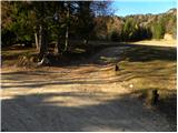 2
2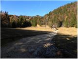 3
3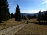 4
4 5
5 6
6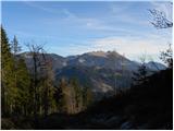 7
7 8
8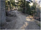 9
9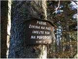 10
10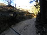 11
11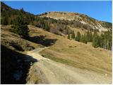 12
12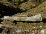 13
13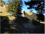 14
14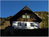 15
15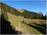 16
16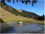 17
17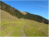 18
18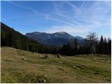 19
19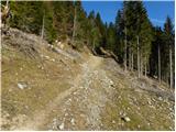 20
20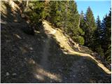 21
21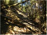 22
22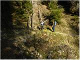 23
23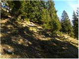 24
24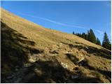 25
25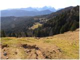 26
26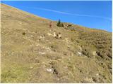 27
27 28
28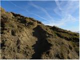 29
29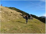 30
30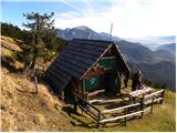 31
31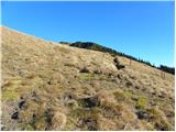 32
32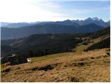 33
33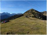 34
34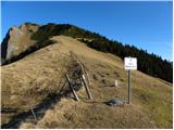 35
35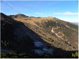 36
36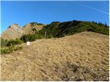 37
37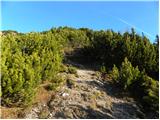 38
38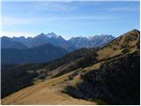 39
39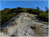 40
40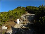 41
41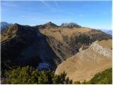 42
42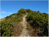 43
43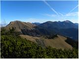 44
44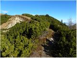 45
45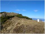 46
46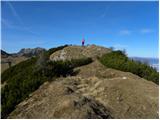 47
47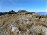 48
48 49
49