Solarji - Planinski dom pod Ježo
Starting point: Solarji (952 m)
Starting point Lat/Lon: 46.1803°N 13.6676°E 
Time of walking: 1 h 5 min
Difficulty: easy marked way
Difficulty of skiing: no data
Altitude difference: -212 m
Altitude difference (by path): 140 m
Map: Julijske Alpe - zahodni del 1:50.000
Access to starting point:
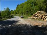
A) From Nova Gorica or from Tolmin we drive towards Bovec. Only a little after the roundabout, where the roads from Nova Gorica and Tolmin join, we get to a crossroad, where the road towards the mountain pass Solarji and Kolovrat branches off to the left. The road then brings us by the edge of Volče, where a signpost for saddle Solarji points us right onto the road which after the last houses starts ascending steeper. Further, we drive on an asphalt road which after a few kilometers of ascent brings us to the saddle, where there is also a crossroad of roads. Here we continue on the left lower road, along which we already after a few meters park on a large parking lot (we park in a way that we don't hinder possible forestry work).
B) From Bovec we drive towards Tolmin, but we follow the road to the spot where the road towards Kolovrat branches off to the right (the turn-off is marked and is located only a little before the roundabout where the road splits towards Nova Gorica and Tolmin). The road then brings us by the edge of Volče, where a signpost for saddle Solarji points us right onto the road which after the last houses starts ascending steeper. Further, we drive on an asphalt road which after a few kilometers of ascent brings us to the saddle, where there is also a crossroad of roads. Here we continue on the left lower road, along which we already after a few meters park on a large parking lot (we park in a way that we don't hinder possible forestry work).
Path description:
On the opposite side of the "parking lot" we notice a mountain signpost with the inscription Ježa and Planinski dom pod Ježo, which directs us onto a gently undulating and relatively overgrown cart track. The cart track soon turns into a footpath, which first descends gently, then steeper and steeper. The path further leads us past an old military cavern and behind it brings us to a short section secured with a steel cable (easy). A short descent follows and the path brings us to a macadam road, which we reach right at a smaller crossroad. Here we continue on the left road, from which we soon turn right onto an ascending and initially wide cart track. We follow the cart track for a short time, then the signs for Ježa direct us right onto a footpath that ascends more steeply through the forest. The less trodden and in places more overgrown path levels out higher up and brings us out of the forest onto the partly panoramic summit ridge of Ježa, along which we walk a few dozen steps to the registration box.
From the summit of Ježa we continue along the marked path towards Planinski dom pod Ježo. From the very summit the path immediately enters the forest, through which it descends to a marked junction.
At the junction the path to Očna branches left, while we continue straight ahead on the path which temporarily levels out and even rises gently for a short time. A little further the path starts to descend steeply through the forest, so we quickly lose altitude. After a few minutes of descent we arrive at a forest road, which we merely cross, and we are already at Planinski dom pod Ježo.
We can return to the starting point along the macadam road.
Pictures:
 1
1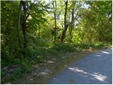 2
2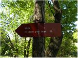 3
3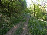 4
4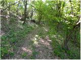 5
5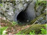 6
6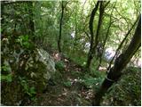 7
7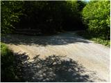 8
8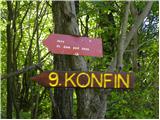 9
9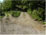 10
10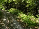 11
11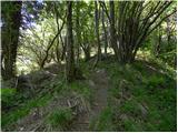 12
12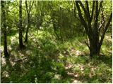 13
13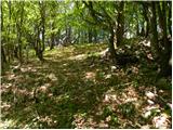 14
14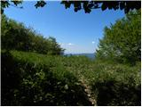 15
15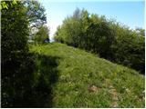 16
16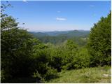 17
17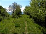 18
18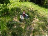 19
19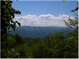 20
20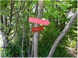 21
21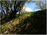 22
22 23
23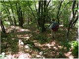 24
24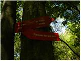 25
25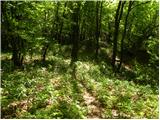 26
26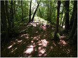 27
27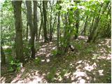 28
28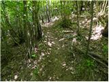 29
29 30
30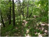 31
31 32
32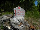 33
33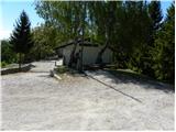 34
34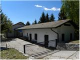 35
35