Tomšičeva cesta (Jesenice) - Kozjek (via Šporn)
Starting point: Tomšičeva cesta (Jesenice) (600 m)
Path name: via Šporn
Time of walking: 25 min
Difficulty: easy unmarked way
Difficulty of skiing: easily
Altitude difference: 166 m
Altitude difference (by path): 166 m
Map: Karavanke - osrednji del 1 : 50.000
Access to starting point:
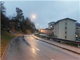
From the highway Ljubljana - Jesenice take the exit Lipce, where we turn right towards Jesenice. In the settlement Slovenski Javornik, at the intersection with traffic lights we turn left towards the town center. At the second traffic-light intersection (near the gymnasium) we turn sharply right, back along Tomšičeva cesta, past the primary school on the left. After slightly less than a kilometer of driving, when the road slightly descends, we arrive near the former store on Tomšičeva cesta (today "Čavs bar"). About 20 m before this building we notice the pedestrian crossing, which we will use on the path towards Jelenkamen. We park at a suitable place nearby (or a few hundred meters ahead, below the hill, near the railway on the large turning area).
Path description:
We cross the road at the mentioned pedestrian crossing and continue straight uphill on the steep asphalt road that leads us past a few houses. When the road flattens and crosses the stream, after the right turn by the first house on the left side we notice a footpath ascending uphill towards the north. We leave the road and step onto this path, which moderately ascends towards the forest. Soon we encounter the fenced water catchment Šporen from the year 1957. The path (initially a cart track) along the stream bed brings us into the forest, where we cross one of the stream branches. Our path along the cart track turns slightly right (the cart track turns left) and crosses the stream a second time, near which it continues ascending uphill. Soon, near the source of the mentioned stream, the path turns even more to the right and soon brings us to a flat area with a junction.
We continue slightly right along the path at the edge of the plain named (right) Hlevček, about 100 meters, then we leave the path (straight to Babji zob pod Kozjekom) and turn left onto the western slope of Kozjek, where after a short ascent along the right edge we encounter a path. This brings us in a few minutes' ascent along the hill ridge to its summit with a nice viewpoint.
Pictures:
 1
1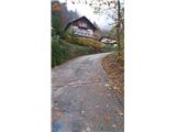 2
2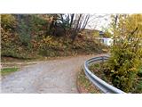 3
3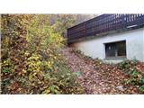 4
4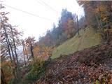 5
5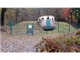 6
6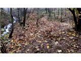 7
7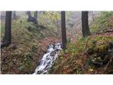 8
8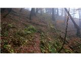 9
9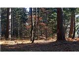 10
10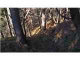 11
11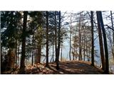 12
12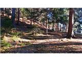 13
13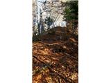 14
14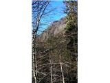 15
15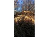 16
16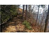 17
17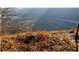 18
18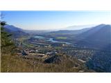 19
19