Trebež (Jesenice) - Kozjek (on east ridge)
Starting point: Trebež (Jesenice) (590 m)
Starting point Lat/Lon: 46.4319°N 14.0941°E 
Path name: on east ridge
Time of walking: 30 min
Difficulty: easy marked way
Difficulty of skiing: no data
Altitude difference: 176 m
Altitude difference (by path): 176 m
Map: Karavanke - osrednji del 1 : 50.000
Access to starting point:
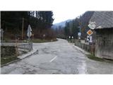
From the highway Ljubljana - Jesenice, take the exit Lipce (Jesenice east), where we drive right towards Jesenice. At the first traffic-light intersection (settlement Slovenski Javornik) we turn right (direction Lj.) towards Koroška Bela. At the next intersection with traffic lights we turn left, and soon once again left towards Javorniški Rovt. After less than a kilometer of driving, we arrive at the settlement Trebež (unmarked), which we recognize by the sharp left turn with an intersection, at which there is a bridge over the stream Javornik. We park at a suitable place nearby (e.g. in the same settlement, about 100 meters ahead on the main road in the direction of Jesenice).
Path description:
From the bridge at the turn, we head onto the side road that leads towards Javorniški Rovt, and walk along it only briefly. After a slight left turn, before the first house on the right, we head onto the forest road on the left side, which ascends far to the left towards the forest. This soon after the barrier (rampa) turns right, a little higher it brings us to a cart track junction on the left, onto which we turn. Here we encounter the first path markings - yellow dots and arrows. The cart track soon crosses a small stream, and brings us to a fork in the cart tracks, where we choose the right one, but immediately after leave it and turn right again onto the marked trail, which takes us onto the ridge of the hill. A pleasant path among pines and birches then after a short ascent brings us to a junction, where we go right and continue briefly along a flatter path towards the north. Soon, after a slight left turn, the yellow markings direct us perpendicularly left, back onto the ridge of the hill (straight - Desni Hlevček, Čopov rovt). On the ridge the path turns right and ascends more steeply westward, towards the summit of the hill. A pleasant and panoramic path among dense birches higher up partly flattens and even descends slightly, before the summit itself it ascends steeply one last time towards the goal. At the summit benches await us, and a nice view of the nearby and distant surroundings: Slovenski Javornik, Lipce, Blejska Dobrava, Mežaklo, Jelovica with Ratitovec and Ljubljana Basin.
Pictures:
 1
1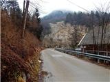 2
2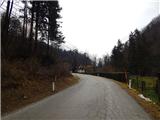 3
3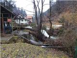 4
4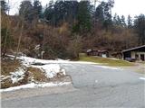 5
5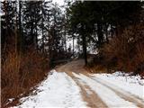 6
6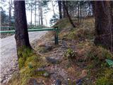 7
7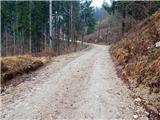 8
8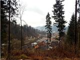 9
9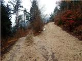 10
10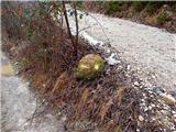 11
11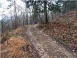 12
12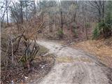 13
13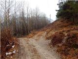 14
14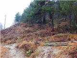 15
15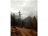 16
16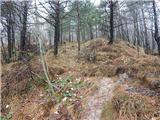 17
17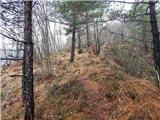 18
18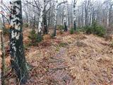 19
19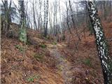 20
20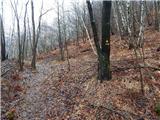 21
21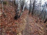 22
22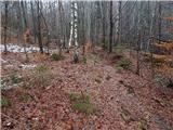 23
23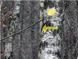 24
24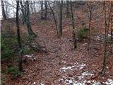 25
25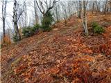 26
26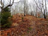 27
27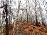 28
28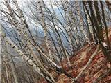 29
29 30
30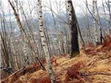 31
31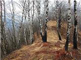 32
32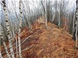 33
33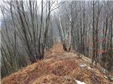 34
34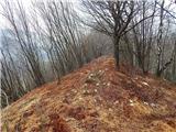 35
35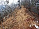 36
36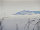 37
37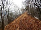 38
38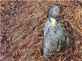 39
39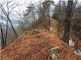 40
40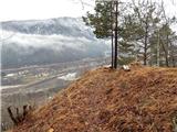 41
41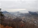 42
42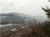 43
43