Unterpirkach - Hochstadelhaus
Starting point: Unterpirkach (636 m)
Starting point Lat/Lon: 46.7592°N 12.9249°E 
Time of walking: 3 h 15 min
Difficulty: easy marked way
Difficulty of skiing: no data
Altitude difference: 1144 m
Altitude difference (by path): 1144 m
Map: Kompass, Lienzer Dolomiten/Lesachtal 1:50.000
Access to starting point:
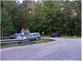
From Ljubljana through Karawanks Tunnel and then on the highway to Spittal. We continue driving in the direction of Lienz, and drive through the valley Drautal to Oberdrauburg, where we turn left in the direction of Kötschach and mountain pass Plöckenpass. Immediately after the river Drau and railway track we turn right (by the crossroad we notice many signs, among them also for mountain hut Hochstadelhaus), and then on a little narrower road we reach Unterpirkach. Next we drive past a bigger chapel and only few meters ahead through bridge over the stream Pirkner. Immediately after the bridge we turn left and park on a parking lot by the hiking signposts.
Path description:
From the parking lot, we continue on a gently sloping cart track which runs on the right side of the nearby stream. After few minutes, the cart track splits into two parts. Left one after few 10 meters ends by the stream and we continue on the right one, which gradually starts ascending steeper. The marked path soon leaves rough cart track and continues to the right, where it is ascending diagonally over occasionally little steeper slopes. Higher, the path returns on a cart track, and then we continue on a cart track to its end.
Marked footpath continues in the same direction, and then after some time turns to the left, where the climbing path soon joins.
We continue on a well-beaten path, which higher crosses a road (road is closed for public traffic), and then it returns into the forest and past Hilda's smoking bench, again brings us to a forest road. We leave the road immediately, higher marked path again crosses the road few times, or it joins it for a short time. Higher the forest gets thinner, so we have a nice view towards the eastern side, where we clearly see river Drau and part of Gailtal Alps. The path higher returns on the road which we then follow all the way to the mountain hut Hochstadelhaus.
Pictures:
 1
1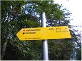 2
2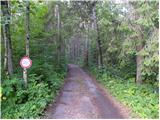 3
3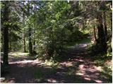 4
4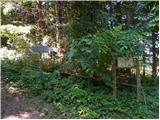 5
5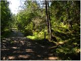 6
6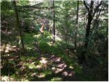 7
7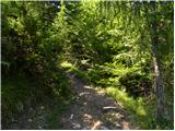 8
8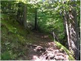 9
9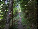 10
10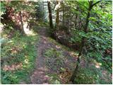 11
11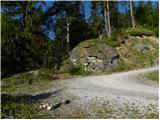 12
12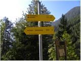 13
13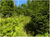 14
14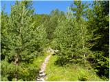 15
15 16
16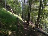 17
17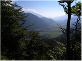 18
18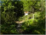 19
19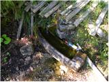 20
20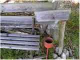 21
21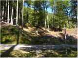 22
22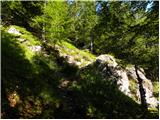 23
23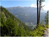 24
24 25
25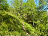 26
26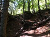 27
27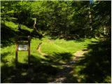 28
28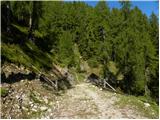 29
29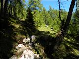 30
30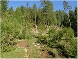 31
31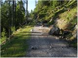 32
32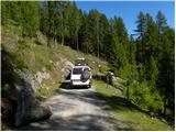 33
33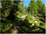 34
34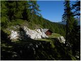 35
35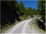 36
36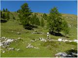 37
37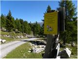 38
38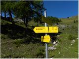 39
39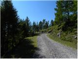 40
40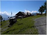 41
41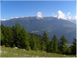 42
42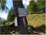 43
43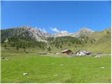 44
44