Vodice (Mali Školj) - Javornik above Črni vrh
Starting point: Vodice (Mali Školj) (950 m)
Starting point Lat/Lon: 45.883°N 14.056°E 
Time of walking: 1 h 30 min
Difficulty: easy marked way
Difficulty of skiing: no data
Altitude difference: 290 m
Altitude difference (by path): 355 m
Map: Nanos 1:50.000
Access to starting point:
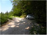
First, we drive to Col (from Ajdovščina, Predmeja, Godovič or Logatec), then we continue driving in the direction of Vodice (the turn-off from the main road Ajdovščina–Godovič is marked). The road soon enters the forest, where it starts to ascend; higher up, it leads us past a few crossroads, where we always follow the signs for Vodice. At the turn-off for Suhi Vrh, the road flattens; a little further, it also begins to descend slightly. When, after a short descent, we emerge from the forest, we will notice signs for Javornik by the road, which direct us to the left, and nearby there is also a smaller parking lot and a small sign.
Path description:
At the starting point, we notice signs for Javornik, which direct us left onto a marked path that begins descending along the left side of the macadam road. Soon we join the mentioned macadam road, and descend along it to the place where the markings lead us slightly right onto a path that continues parallel to the road, then turns right into the forest. A somewhat overgrown path soon takes us onto a cart track that turns right into the forest. Further on, at several smaller junctions, we carefully follow the markings, so that for some time we ascend along a rising path, which higher crosses the macadam road. From the place where we cross the road, we ascend relatively steeply along the edge of an overgrown grassy slope. Higher, we cross another road (the road leads to the Jeler homestead), then step onto a wider road, which we follow right in the direction of Javornik. This time we walk along the road to a gentle left bend, where the marking on the power line pole directs us right into the forest. The path soon returns to the road, along which we exit the forest and arrive at the Rudolf homestead, from which a beautiful view opens onto the surrounding hills. A little further in a strip of forest we arrive at the next junction, where we continue straight (left Kresov grič, Ježevi homestead and also possible approach to Javornik) along the road, which ascends transversely. A little further we arrive at a marked junction, where we continue left (right Podkraj and Predjama) and then after 2 minutes of further walking arrive at Pirnatova koča on Javornik.
From the hut we continue left in the direction of the tower and Javornik. The path to Javornik first ascends across a meadow and through a strip of forest, where it crosses a cart track, then brings us onto an increasingly panoramic slope, from which the view, in good visibility, extends very far. The path then returns into the forest and quickly brings us to the lookout tower on Javornik.
Pictures:
 1
1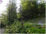 2
2 3
3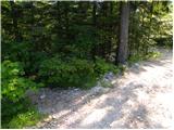 4
4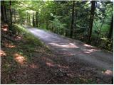 5
5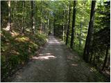 6
6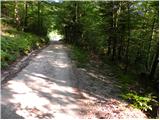 7
7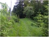 8
8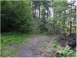 9
9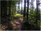 10
10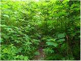 11
11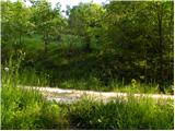 12
12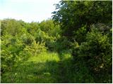 13
13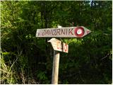 14
14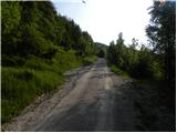 15
15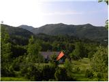 16
16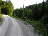 17
17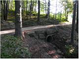 18
18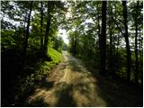 19
19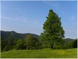 20
20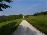 21
21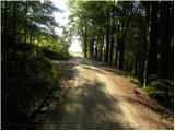 22
22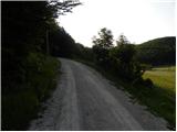 23
23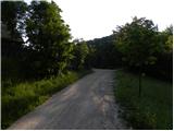 24
24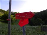 25
25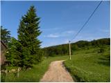 26
26 27
27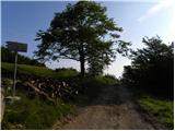 28
28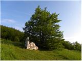 29
29 30
30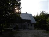 31
31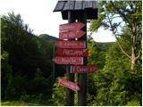 32
32 33
33 34
34 35
35 36
36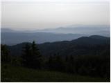 37
37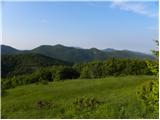 38
38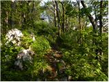 39
39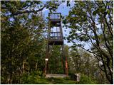 40
40 41
41