| pg18. 08. 2026 15:06:17 |
For a long time - even before I first visited these parts - I was drawn to the splendid stone fortress of countless pinnacles, recesses and bold spires. Cima Undici - named because from Sesto at the summer solstice the sun shines over it exactly at eleven o'clock - occupies one of the central places in the wildest sunny hour in the Alps, the famous Sexten meridians. With its appearance, apparent inaccessibility and historical significance (it was down its cliffs that the famous Mascabroni descended in WWI) Cima Undici most completely embodies the spirit of these places and represents a kind of emblem of the Sexten peaks east of the mountain civilization of the Three Cin.
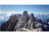
The Eleven has, besides numerous less distinct towers, two main summits: while the southern one (3092 m) - the higher - with its complexity and length of approach, extreme friability and technical difficulty in unforgiving terrain (III) for a soloist - a tourist is probably too big a bite, the ascent to the only 11 m lower northern summit (3081 m) is serious, technically quite demanding and objectively sometimes dangerous, yet reachable also for experienced mountaineers without greater alpine ambitions. And it was precisely to it that this time a surprisingly well-equipped path finally carried me.
Cima Undici/Elferkofel Nord (3081 m), "Via Berti", II/I-II
Although I often came to this area, having done ascents of Monte Popero, ferata Roghel and c. Gabriela, Strada degli Alpini and Campanile Colesei and to the cross of Crode Rosse di Sesto along both arms of Zandonella, due to numerous factors (closed paths towards Passu delli Sentinelli, fresh snow and snowstorm in July, problematic itinerary) until this year no serious attempt on Cimo Undici Nord had succeeded. This time conditions were suitable.
On the first day after morning work obligations I arrived quite late at the parking lot at Selvapiani (parking fee 12 EUR per day, 20 for two days) with the intention that on the longer path to the hut on the first day of the trip I would conquer Cimo d`Ambata (2815 m) and peek towards Cima Bagni (2983 m), but due to the destroyed path 152, consequence of the catastrophic summer in the Alps which required long and quite unfavorable detours, in places it was completely missing, and late hour of the day when possible afternoon thunderstorms were forecast, I interrupted the ascent in the quarry at approx. 2400 m and via Sasso di Selvapiane (2116 m) with great caution due to the poor condition of the path reached the quite pleasing Berti hut.
On the second day I set off early towards Sentinella pass. In this area the situation is considerably better or more similar to the past - the slopes are still broken, requiring a fair amount of caution, but not beyond expected limits. After the junction of the Zandonella via ferrata, where I scrambled last year, through unpleasant scree we reach the quite new protected path Cengia Manuela (2024) - it is a short and technically relatively straightforward (B), but airy and certainly not entirely trivial via ferrata, which safely takes us across the broken world below the famous pass, under which the destroyed ladders on the former path have long ceased to serve their purpose.
After a few meters of walking on the Strada degli Alpini I spotted tracks that lead us towards the rock of the mountain that rises majestically above the saddle. Soon one can spot the first man and the approach chimney, which is friable but not overly demanding (II-). Above it for a short time a real, easily traceable path across the scree surprises us, running to the right of the famous gully of the Mascabroni descent - once a snowy threat, today unfortunately a dried-up channel.
Higher up we again enter pathless terrain, but it is excellently equipped, in some places the route (unnecessarily in Italian) is even marked with red ribbons on stones. The very primitive ascent proceeds through friable chimneys, gullies and systems of ledges and over a moderately steep wall which we overcome in keys with easier climbing (I-II). In the summit part over an exposed ledge we cross under the pre-summit, ascend through a demanding chimney (II) and over an airy ridge climb (I) to the narrow, precipitous but very scenic summit with a box of summit registers (bring your own!)
The ascent itself is not particularly technically demanding - perhaps on three places we climb good II, otherwise mostly I. grade - but it is constantly tense, proceeding in a primitive, steep and broken environment. At the summit due to family agreement I did not linger too long and carefully descended to the pass and past the frequented Popera lakes and Berti hut to Selvapiane and to San Candido, where the remaining family members joined me for a few more pleasant days in the otherwise very lively Dolomites.
Perhaps just this, to my great surprise on a weekday when I was returning from this really very rarely visited summit, a trio of Italians was also ascending it - and judging by the really abundantly equipped route one can conclude that this summit, which despite sufficient prominence is not drawn on most maps, is nevertheless becoming ever more popular.
The ascent of the summit, which enjoys considerable prestige among locals, closed an important chapter in a personal mountaineering career. Nevertheless in this wonderful part of the Dolomites there still remain quite a few objectives that invite - first Cimo d`Ambata and Cima Bagni, then the famous Croda dei Toni/Zwölferkofel, and of course the southern summit of Cima Undici. But for that different circumstances and company will be needed - someday.
 1 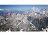 2 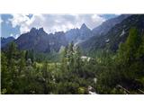 3 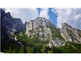 4 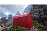 5 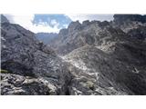 6  7 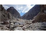 8 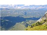 9 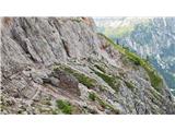 10 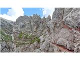 11 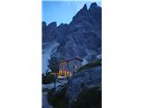 12 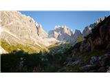 13 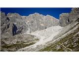 14 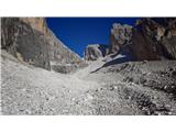 15 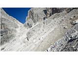 16 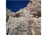 17 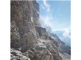 18 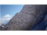 19 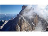 20 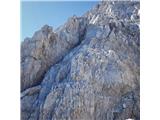 21 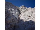 22 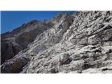 23 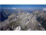 24 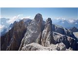 25 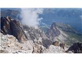 26 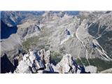 27 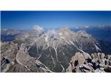 28 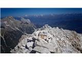 29  30 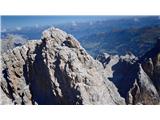 31 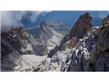 32 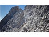 33 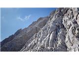 34 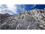 35 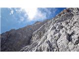 36 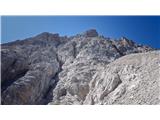 37 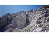 38 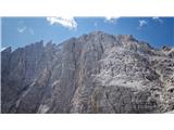 39 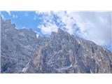 40  41  42  43  44  45 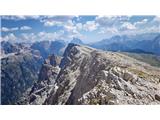 46  47  48  49  50  51
| (+3) |  | |
|
|