Traversata Carnica - Carnic High Trail the Italian way
|
| bbugari126. 08. 2025 12:17:31 |
Repeating again, WE'RE WAITING FOR THE BOOK bagi!!! 
| (+7) |  | |
|
|
|
|
| bagi27. 08. 2025 18:11:54 |
Oh, so many positive comments  . Biggest thanks to all and each one individually. We were wandering a bit in the Dolomites and I wasn't up to date with things here for a while. Thanks again, tomorrow follows the last, eighth day of Traversata Carnica.
Emil and Mateja
| (+4) | | |
|
|
|
|
| lino27. 08. 2025 20:05:22 |
Mateja and Emil!
A bit late with the comment. So many superlatives have piled up in your posts, I'm speechless.
Safe travels ahead. With you the saying CARPE DIEM (seize the day) really applies!
| (+3) | | |
|
|
|
|
| 2061alessio28. 08. 2025 08:53:37 |
Emil and Mateja, thanks to both for such detailed description, photos and yes .... if possible for a possible book; can I send email to Marinelli hut owner (cai saf udine) about that rip-off half-board price? Can you tell details via private message.
| (+8) | | |
|
|
|
|
| bagi28. 08. 2025 08:56:29 |
Thanks Lino . A clarification on spoken language. That's Italian and German depending on the side of the border, and English everywhere. But no worries, basic vocabulary suffices, a phone translator can help too. Hut staff makes great effort, sometimes a guest says a word for better understanding .
| (+3) | | |
|
|
|
|
| bagi28. 08. 2025 09:05:03 |
Thanks to you too Alessio, especially for the idea . Regarding Marinelli I can tell you how it went and exactly when, but nothing in writing. As mentioned we didn't get a bill, nor a price list.
| (+3) | | |
|
|
|
|
| mukica28. 08. 2025 09:16:35 |
Thanks Mateja and Emil, they took me to a wonderful world and adventure.... I follow you both with such pleasure and enthusiasm
| (+2) | | |
|
|
|
|
| bagi28. 08. 2025 10:25:30 |
DAY 8 ...
The last, concluding day has come. Sadly, as many times before. When you get used to walking day after day, this way of traveling gets into your bloodstream. Every change is a small shock for body and soul . Anyway, we left Sillianer-Hütte early in the morning and headed down the valley towards the village of Sillian. There we had a train to Lienz, where we changed to another one to Villach, from there we just caught the international train to Ljubljana. The story ended with our arrival home.
But before that, a lot happened. From the hut, by pure mistake, we chose the road descent into the valley instead of the shorter variant through the forest. We quickly realized that this was very fortunate. For most of the descent, we could observe the consequences of the night's thunderstorm. Fallen trees lay everywhere, the road blocked in many places. Many cars were stuck in the mountains with overnight stays. We even had to cross some fallen trees on foot with difficulty, but luckily we had enough time. In the lower part, we already met teams removing fallen trees from the roads. Commendably fast.
The other story is train tickets. These must be bought at machines or counters wherever they are, but not on the train. There they are 30% more expensive, at least with Austrian conductors. Tested  . But you quickly forget such experiences, not the trail. We'll probably come back, maybe find some different variant .
 1  2  3  4  5  6  7  8  9  10  11  12  13  14  15  16  17
| (+11) | | |
|
|
|
|
| MatejaP28. 08. 2025 15:49:30 |
Thanks to everyone also from my side I hope Emil's trail reports inspire someone else to decide to visit this beautiful trail.
For me it was a big test after knee surgery, everything was very unknown and it could have turned in a less friendly direction for me.
Obviously I have a guardian angel who knows how much mountains mean to me and I will do everything and more, just to continue enjoying this beautiful environment.
There are many mountain souls here, so words are superfluous
| (+9) | | |
|
|
|
|
| jprim28. 08. 2025 21:24:05 |
Great to see and get excited about this trail. Well, we already know some peaks around.
17 photos, only 50m elevation? Maybe a mistake.
Best regards!
| (+1) | | |
|
|
|
|
| bagi29. 08. 2025 06:48:34 |
No, no mistake . From the hut to Sillian it's only descent, just a little ascent from the Drava to the town center. Oh, and don't forget climbing over fallen trees .
| (+2) | | |
|
|
|
|
| jprim29. 08. 2025 20:06:20 |
Well, been to the peaks around the hut and down to the valley, now I understand you meant 50m ascent, down to the valley is a bit more,
Keep enjoying the walking and the walked trail.
Best regards!
|
|
|
|
| bbugari18. 09. 2026 17:27:03 |
On Sunday I did another wonderful circular tour in the Carnic Alps. Route: Rif. Pramosio – Passo Pramosio – Cuestalta (Hoher Trieb) – normal route – Zollner Hütte – Zollner See – Passo Lodinut – Monte Lodin – Val di Puartis – Casera Lodin alta – Pecol di Chiaula alta (Rif. Fabiani) – Casera Cercevesa – Sella Cercevesa – Rif. Pramosio. To the summit Cuestalta it takes 1 hour and 45 minutes, from there to Zollner Hütte 45 minutes, further to Monte Lodin 1 hour and 10 minutes, to the eastern edge of Val di Puartis (saddle) 35 minutes and further to Rif. Fabiani another 1 hour. From Rif. Fabiani to Rif. Pramosio approx. 2 hours and 45 minutes walking, in between five stages of about half an hour: to the ridge, to the highest point, to the abandoned pasture Casera Cercevesa, to the saddle and to Rif. Pramosio. In Rif. Pramosio and Zollner Hütte card payment possible, Rif. Fabiani only cash. To Passo Pramosio now a marked shortcut from the mule track. To Passo Lodinut now also a much shorter path than KHW 403, previously from the saddle above Zollner See. To 1500 m before Rif. Fabiani a maintained gravel road with large parking, from there a new road to the hut closed to traffic. For Rif. Fabiani two variants marked: old path north, new path south of the stream. New path well marked but still orientationally demanding, similar to the section from 1807 to abandoned Casera Cercevesa through high grass.
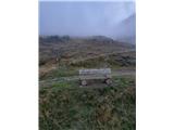 1 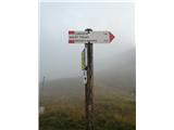 2 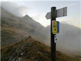 3 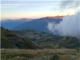 4 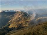 5 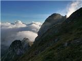 6 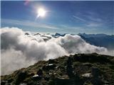 7 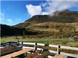 8 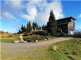 9 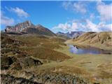 10 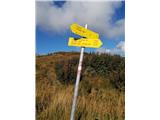 11 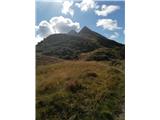 12 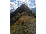 13 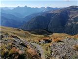 14 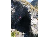 15 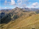 16 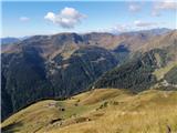 17 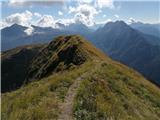 18 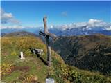 19 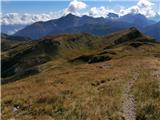 20 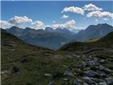 21 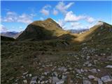 22 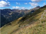 23 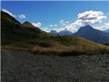 24 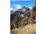 25 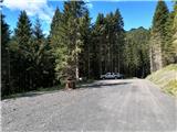 26  27 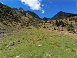 28 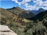 29 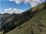 30 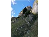 31 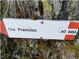 32 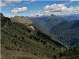 33 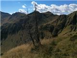 34 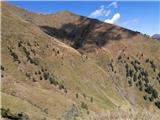 35 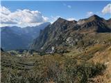 36 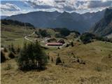 37 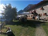 38
| (+5) | | |
|
|
|
|
| bagi8. 09. 2026 17:56:21 |
Congratulations Bojan for visiting these beautiful places . For the correction on photo 32 many will be grateful to you .
|
|
|
|
| bbugari19. 09. 2026 09:43:59 |
Thanks bagi! You and Mateja are responsible for popularizing these wonderful corners on this forum.
| (+1) | | |
|
|
|
You must log in to post a comment:
If you do not yet have a username, you must first
register.