Kranjski Rak - Poljanski rob (via Seliški rob)
Starting point: Kranjski Rak (1029 m)
| Latitude/Longitude: | 46,28300°N 14,68840°E |
| |
Route name: via Seliški rob
Walking time: 2 h
Difficulty: easy unmarked way
Elevation gain: 540 m
Elevation difference along the route: 585 m
Map: Kamniške in Savinjske Alpe 1:50.000
Recommended equipment (summer):
Recommended equipment (winter): ice axe, crampons
Views: 1.779
 | 2 people like this post |
Access to starting point:
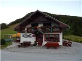
A) First, we drive to Kamnik, then we continue driving in the direction of the Črnivec pass. Just a few hundred meters before the mentioned pass we notice signs for Kranjski Rak, which direct us sharply left onto a narrow and initially also quite steep road. The road levels out higher up and then brings us to the Volovljek pass, where near the Kranjski Rak inn we also park (parking in front of the inn is permitted only for guests).
B) From Gornji Grad we drive towards Kamnik, then just a few hundred meters after the Črnivec pass we continue right in the direction of Kranjski Rak. Further, we follow the above description.
C) From the Savinjska Valley we first drive to Luče, then we continue driving towards Kamnik. When we arrive at the Volovljek pass we park at a suitable place near the Kranjski Rak inn (parking in front of the inn is permitted only for guests).
Route description:
From the Volovljek pass we continue towards the west on a macadam road in the direction of Velika planina, Jarški dom, Črnuški dom, Domžalski dom and Dom na Kisovcu. The road first leads along the pasture, then passes into the forest, where a marked footpath branches off to the left. We continue on the road, which turns slightly to the right and splits into two parts at the beginning of the left bend. The right road leads to the former homestead Štajerski Rak (guesthouse Štajerski Rak is located at the Volovljek pass), we continue on the wider road leading towards Velika planina, along which we walk for a few more minutes, or to the place where the road makes a sharp left turn. From the mentioned turn, a worse road continues straight ahead (in summer it is necessary to cross the electric shepherd's fence), along which we continue. The path ahead descends moderately and after crossing the gully of the Brložnica stream turns right. The path ahead leads past a scree slope, then turns more to the left again, leading us below the rocky towers. When the crossing ends we reach a sort of ridge, from where a view opens towards the Dleskovška planota.
At the mentioned place a marked path from Podvolovljek joins from the right, we continue left onto the footpath that steeply ascends above the road. Due to erosion and overgrowth the passage is somewhat awkward and especially when wet also slightly dangerous for slipping. The path continues for a short time along the forested ridge and brings us above the previously mentioned rocky towers, then temporarily turns slightly to the right. We ascend through the forest for a few more minutes, then cross a pasture fence and step onto the lower part of the Marjanine njive pasture. When the forest ends, the hitherto poorly trodden path also ends. We ascend the slope, on one of the trees we notice a mark, then a little higher we already see some huts on the pasture, a little to the right also a wooden cross.
We continue past the huts and behind them ascend to the nearby macadam road, where we notice a marked junction with numerous direction signs.
At the junction we leave the road and continue the ascent on a cart track in the direction of Jarški dom, Črnuški dom and Domžalski dom as well as Mala and Gojška planina. At first a nice view still opens towards Kranjska reber and part of Posavsko hribovje, then the path passes into the forest, through which it continues to the place where a footpath from Kranjski Rak and the path from the Rakove ravni parking lot also join us.
Here we continue straight and just a few meters ahead we step out of the forest onto the lower part of Gojška planina. A short ascent follows, then the path temporarily levels out and brings us to a smaller junction at the watering place for animals. We bypass the watering place on the left side, then go slightly left (right upper part of Gojška planina) along the ascending footpath. The pleasant and increasingly scenic path ascends across the extensive pasture area, then crosses one of the macadam roads. On the other side of the road the path gradually ascends moderately, then approaches the road leading towards Jarški dom and Domžalski dom. Before stepping onto the road we continue left, then after a few tens of steps of further walking we arrive at Jarški dom.
We bypass the mentioned hut on the left side, then continue the ascent on the wide path that gently ascends through sparse forest. Already after a few minutes a path to Črnuški dom branches off to the left, we continue straight and follow the wide path all the way to Domžalski dom na Mali planini.
From Domžalski dom we continue towards Velika planina, then before crossing the pasture fence we continue left towards the nearby wider path. When we reach the mentioned wider path we go right, then immediately after crossing the pasture fence left onto the less trodden path that starts ascending along the fence towards Poljanski rob. Along the increasingly scenic path, then in a few minutes we reach the already mentioned summit.

Photos:
 1
1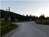 2
2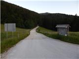 3
3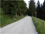 4
4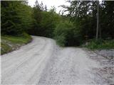 5
5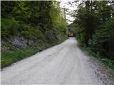 6
6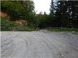 7
7 8
8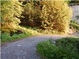 9
9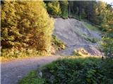 10
10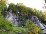 11
11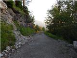 12
12 13
13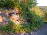 14
14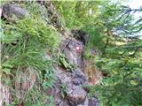 15
15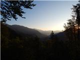 16
16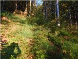 17
17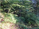 18
18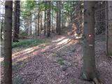 19
19 20
20 21
21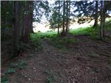 22
22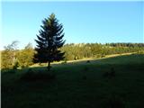 23
23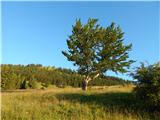 24
24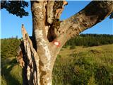 25
25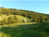 26
26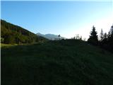 27
27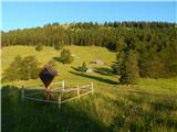 28
28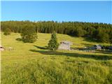 29
29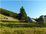 30
30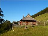 31
31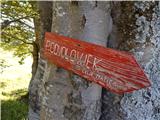 32
32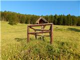 33
33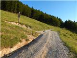 34
34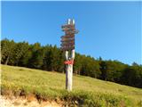 35
35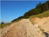 36
36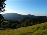 37
37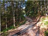 38
38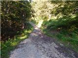 39
39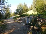 40
40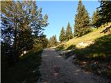 41
41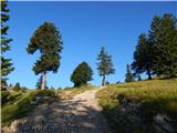 42
42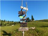 43
43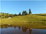 44
44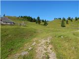 45
45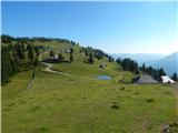 46
46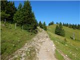 47
47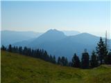 48
48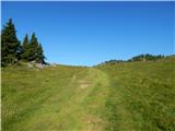 49
49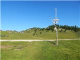 50
50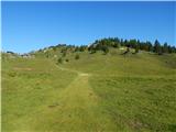 51
51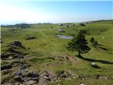 52
52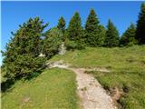 53
53 54
54 55
55 56
56 57
57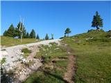 58
58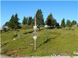 59
59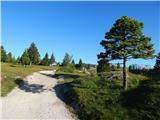 60
60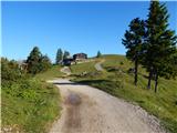 61
61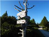 62
62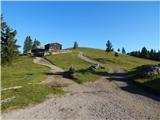 63
63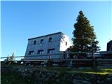 64
64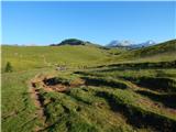 65
65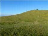 66
66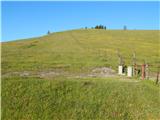 67
67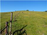 68
68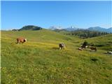 69
69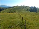 70
70 71
71 72
72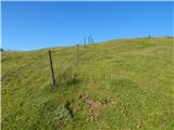 73
73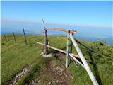 74
74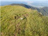 75
75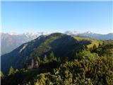 76
76
Discussion about the trip Kranjski Rak - Poljanski rob (via Seliški rob)
To post a comment you must log in:
If you do not yet have a username, you must first
register.