Medvodje - Planina Brsnina (via Konjski rob)
Starting point: Medvodje (854 m)
| Latitude/Longitude: | 46,40760°N 14,39150°E |
| |
Route name: via Konjski rob
Walking time: 2 h 15 min
Difficulty: easy unmarked way
Elevation gain: 503 m
Elevation difference along the route: 520 m
Map: Karavanke - osrednji del 1:50.000
Recommended equipment (summer):
Recommended equipment (winter): ice axe, crampons
Views: 566
 | 2 people like this post |
Access to starting point:
From the Ljubljana - Jesenice highway we take the Podnart (Ljubelj) exit, then continue driving on the fast road towards Ljubelj and Tržič. When the fast road ends, we will notice a gas station on the right side, in front of which we turn right downwards towards Tržič. Further, we drive through Tržič, and we follow the narrower road towards the gorge Dovžanova soteska and then through the villages Dolina and Jelendol to Medvodje, where we park on a marked parking lot at the nearby intersection.
Route description:
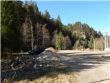
From the parking lot, we continue on the right road in the direction of Storžič, Stegovnik and Stegovniški slap (left Košutnik, Košutnikov turn and planina Dolga njiva on a marked path), after a few dozen steps we continue straight (right Stegovniški slap). The path ahead leads us on a macadam road which continues along Tržiška Bistrica, and when we get to the intersection at the confluence of Tržiška Bistrica and Fevča, we continue on the right road which continues along the stream Fevča.
We continue on the road for a short time, when the road crosses the stream and turns sharply right, we leave it and continue on a cart track which continues along the stream. For a few minutes we ascend along the stream, then the cart track turns left onto the slopes of Konjski rob. Higher, on a less steep slope the cart track fades, but with some effort it can be followed. When we return into dense forest, we join a somewhat wider track and follow it to the right, and along it in a few minutes we step onto a macadam road, which we follow to the left (up to here also possible on the road).
A few steps ahead we arrive at a smaller intersection, where we continue straight on the wider road (left Konjski rob), which subsequently crosses slopes towards the left. Next follows crossing of the slopes of Veliki vrh, and from the road occasionally beautiful views open up. When the road at the turning point by Tržiška Bistrica ends we continue slightly right and descend on a cart track to the river, cross it, then continue the ascent on a steeper cart track. A little further at the fork we go left, at the next junction slightly right on a more grassy cart track (left planina Spodnja Dolga njiva), along which we quickly reach the marked path Jezersko - planina Spodnja Dolga njiva. Only a little walking remains to the abandoned planina, which can be reached by marked path or cart track.
Description and pictures refer to the condition in April 2020.

Photos:
 1
1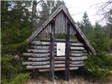 2
2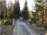 3
3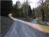 4
4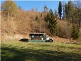 5
5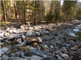 6
6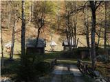 7
7 8
8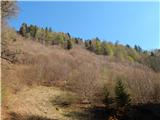 9
9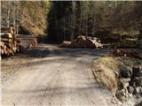 10
10 11
11 12
12 13
13 14
14 15
15 16
16 17
17 18
18 19
19 20
20 21
21 22
22 23
23 24
24 25
25 26
26 27
27 28
28 29
29 30
30 31
31 32
32 33
33 34
34 35
35 36
36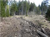 37
37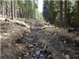 38
38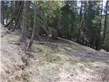 39
39 40
40 41
41 42
42 43
43
Discussion about the trip Medvodje - Planina Brsnina (via Konjski rob)
To post a comment you must log in:
If you do not yet have a username, you must first
register.