Mojstrana - Vrtaški vrh (old path)
Starting point: Mojstrana (675 m)
| Latitude/Longitude: | 46,45520°N 13,93210°E |
| |
Route name: old path
Walking time: 3 h 30 min
Difficulty: easy unmarked way
Elevation gain: 1223 m
Elevation difference along the route: 1223 m
Map: Kranjska Gora 1:30.000
Recommended equipment (summer):
Recommended equipment (winter): ice axe, crampons
Views: 7.949
 | 1 person like this post |
Access to starting point:
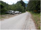
We leave the Gorenjska motorway at the Jesenice - west (Hrušica) exit and continue driving towards Kranjska Gora. Just before Dovje, the signs for Mojstrana, Krma, Kot and Vrata direct us left onto a somewhat narrower road, along which we quickly arrive in Mojstrana. Through Mojstrana we follow the signs for the alpine valley Vrata, but we follow the mentioned road only as far as the sign marking the end of Mojstrana. Here on the left side we notice a parking lot, where we park.
Route description:
From the parking lot we first carefully cross the road, then ascend along an initially unmarked path that joins the marked path after just 2 minutes, which branches off from the road some 10 m lower. We continue the ascent along the marked path, which leads through the forest, then we arrive at a tractor track, which we follow to the right; it brings us after just a few metres to a small junction, where the path to Grančišče branches off to the right. We continue straight along the wide path, which quickly takes us into dense forest and turns slightly to the right. The path ahead becomes somewhat steeper and past another branch-off for Grančišče brings us to a forested ridge, where it turns left and temporarily flattens.
We continue the ascent along an increasingly steep path, which leads us for some time through dense forest, then moves somewhat further left, bringing us to steep slopes across which a wide mountain path runs, secured in places with a fence. From the path, secured mainly because of livestock, beautiful views begin to open up towards Jerebikovec, and higher also towards Rjavina and Triglav. The still steep path higher crosses several gullies, after which the steepness gradually eases. This is followed by traversing to the left and the path brings us to a pasture fence, behind which the terrain and path level out.
From the pasture fence we continue along a gentle path, along which after some 10 minutes of further walking we arrive at the shepherd's hut on Vrtaška planina.
From the hut we continue right and ascend straight up across the pasture. The path ahead crosses a strip of forest, then brings us into a small indistinct valley, where we continue left (straight along the unmarked path of Stare koče). Ahead we ascend diagonally through the forest to the left, then arrive at a larger pasture area, where the path temporarily partly disappears. Along the poorly visible path we ascend diagonally to the other side of the "pasture", then the signs take us into the forest. Ahead we ascend gently towards the west for some time, then the path brings us to an indistinct ridge, where it turns right and begins to ascend more steeply.
After a short ascent the marked path leaves the ridge and turns left, but right at that point we leave it and continue the ascent along the indistinct ridge.
From the point where we leave the marked path, the path becomes barely visible but at least initially still easy to follow. During the ascent along the barely visible path we must watch that no livestock path leads us too far to the right or left, as we could end up in a belt of dwarf pines. If we follow the correct path, which continues all the time in roughly the same direction, we will notice nice passages amid the dwarf pines (some freshly sawn), through which we quickly reach a small unmarked junction.
At the mentioned junction we continue left (right Stare koče) and after some 10 steps slightly descend into a small valley. Once we enter the valley, we continue the ascent along and beside it, and if we are attentive we can even notice some old faded blazes. The ascent along the valley is blocked higher by dwarf pines, so or in any case at that point we turn left and ascend to a panoramic ridge, along which after some 10 steps of further walking we reach the panoramic summit.

Photos:
 1
1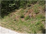 2
2 3
3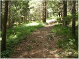 4
4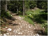 5
5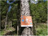 6
6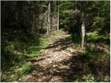 7
7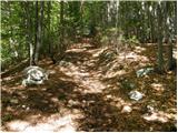 8
8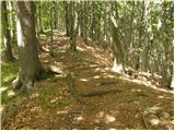 9
9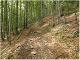 10
10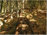 11
11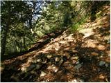 12
12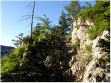 13
13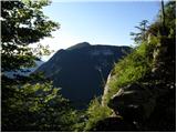 14
14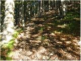 15
15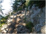 16
16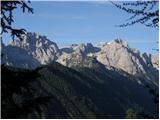 17
17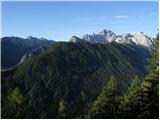 18
18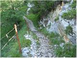 19
19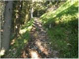 20
20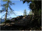 21
21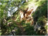 22
22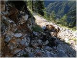 23
23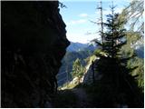 24
24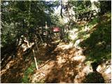 25
25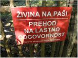 26
26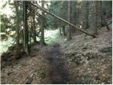 27
27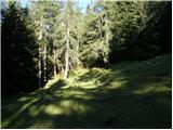 28
28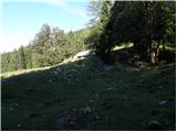 29
29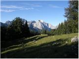 30
30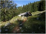 31
31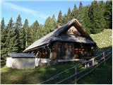 32
32 33
33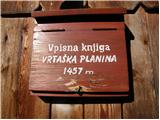 34
34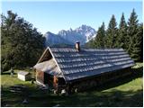 35
35 36
36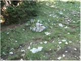 37
37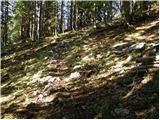 38
38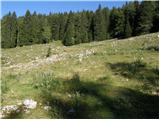 39
39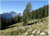 40
40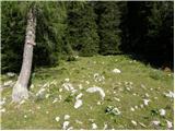 41
41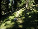 42
42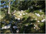 43
43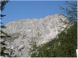 44
44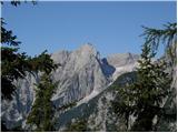 45
45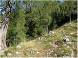 46
46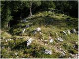 47
47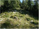 48
48 49
49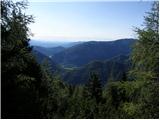 50
50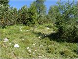 51
51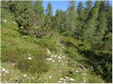 52
52 53
53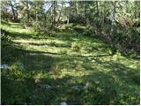 54
54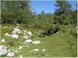 55
55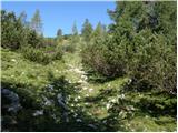 56
56 57
57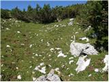 58
58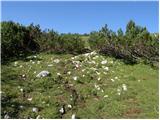 59
59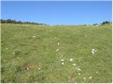 60
60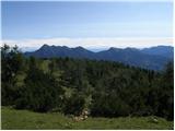 61
61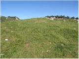 62
62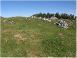 63
63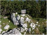 64
64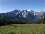 65
65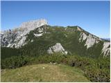 66
66
Discussion about the trip Mojstrana - Vrtaški vrh (old path)
To post a comment you must log in:
If you do not yet have a username, you must first
register.