Podljubelj - Zavetišče na Kalu (via Javorje)
Starting point: Podljubelj (658 m)
| Latitude/Longitude: | 46,39790°N 14,28760°E |
| |
Route name: via Javorje
Walking time: 1 h 35 min
Difficulty: easy unmarked way
Elevation gain: 454 m
Elevation difference along the route: 470 m
Map: Karavanke - osrednji del 1:50.000
Recommended equipment (summer):
Recommended equipment (winter): ice axe, crampons
Views: 1.190
 | 1 person like this post |
Access to starting point:
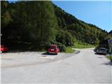
We leave the Gorenjska motorway at the Podtabor junction, and then continue driving towards Ljubelj. After approximately 6 km of driving from Bistrica pri Tržiču, we arrive at an intersection, where we turn right into Podljubelj, and at the intersection 30 metres ahead we go right, then we park at a suitable place near the Podljubelj branch elementary school.
Route description:
Opposite the primary school signs for Kal and Kofce point us to the left on a side road which starts ascending. After some houses, the road enters the forest, then a little higher it turns right. At the mentioned turn the marked footpath continues straight ahead, and we continue on the road which loses its asphalt surface. Higher, the road leads us through the hamlet Reber, where at the crossroads we continue straight, and a little further, near the homestead Javorje, the road splits into three forks.
We continue on the upper left road which ascends to the nearby hunting cottage, and a little before the hunting cottage we continue left on a cart track which crosses the hay meadows and enters the forest. Through the forest at a few smaller junctions we continue straight, higher, on a smaller saddle, the path from the hamlet Reber joins us.
Here too we continue straight and begin to ascend steeply, during the ascent we notice a few rare blazes. Higher we arrive at the saddle between Vrša (1141 m) on the left and Kobla (1203 m) on the right, then we continue on the cart track which mostly descends gently. A few minutes further the forest ends and the path brings us to the junction on Kal.
We continue in the direction of Kofce (left Podljubelj, right Dolina, sharply right Završnik), and after a few dozen steps we arrive at Zavetišče na Kalu.
Description and pictures refer to the condition in 2017 (September).

Photos:
 1
1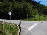 2
2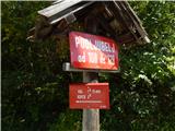 3
3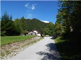 4
4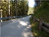 5
5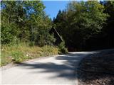 6
6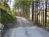 7
7 8
8 9
9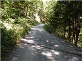 10
10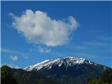 11
11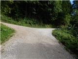 12
12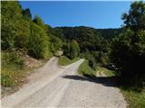 13
13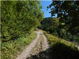 14
14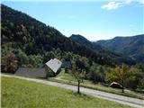 15
15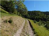 16
16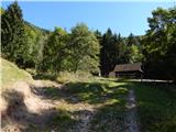 17
17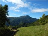 18
18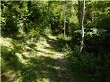 19
19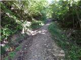 20
20 21
21 22
22 23
23 24
24 25
25 26
26 27
27 28
28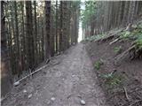 29
29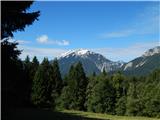 30
30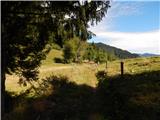 31
31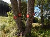 32
32 33
33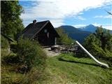 34
34
Discussion about the trip Podljubelj - Zavetišče na Kalu (via Javorje)
To post a comment you must log in:
If you do not yet have a username, you must first
register.