Ankaran - Ankaran (Bebler mountain trail)
Starting point: Ankaran (18 m)
| Latitude/Longitude: | 45,57870°N 13,73690°E |
| |
Route name: Bebler mountain trail
Walking time: 2 h
Difficulty: easy marked way
Elevation gain: 0 m
Elevation difference along the route: 200 m
Map: Primorje in Kras 1:50.000
Recommended equipment (summer):
Recommended equipment (winter):
Views: 18.250
 | 1 person like this post |
Access to starting point:
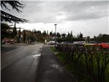
We drive to Ankaran, then from the roundabout we turn onto Regent Street. Before the road starts ascending (after 10 meters), in front of the post office we turn right, where we park on a paid parking lot in the center of Ankaran.
Route description:
By the edge of the parking lot, near the Mercator store, we notice an information board of the Bebler mountain path. At first, we ascend on the stairs, where there are next to the Knafelc blazes also signs for the Bebler mountain path; the path quickly brings us on an asphalt road, on which we ascend past the parish church of St. Nicholas in Ankaran. A bit higher the road ends, and through the part with a nice view we pass over into the forest. Next follows a diagonal ascent through the forest, where we are ascending on the slopes of Črni vrh (the peak is also known under the name Iskra), and then we reach a macadam road which we follow to the left (right Črni vrh). The road soon becomes asphalted, and at the crossroads we follow the blazes. The path ahead leads us through Hrvatini; when the priority road turns right, we continue straight, and a little higher we cross the main road. After crossing the main road, at first we continue on a somewhat narrower street, then behind the Mercator store we go right.
At the store we leave the Knafelc blazes and further we follow the signs of the Bebler mountain path.
To the primary school of Dr. Aleš Bebler - Primož in Hrvatini, which is a few minutes away, we continue with occasional views and without major changes in altitude; behind the school we go right downwards. Behind the school sports field we go right again and start to descend more steeply. Lower, we cross the main road, and further we descend gently for some time. The path ahead brings us to the edge of the vineyards and starts descending a bit more. Lower a view towards Luka Koper opens up, and even lower we reach the main road towards Ankaran. We follow the road to the right, at the first pedestrian crossing we cross it, then we continue left. For a short time we walk in the direction of Koper, then we continue right towards the barracks. When we reach the fenced area we go right; when the fenced area ends, we soon reach a macadam road. On the road we walk to the football field ŠRC Katarina Ankaran, where NK Ankaran Hrvatini plays its home games; behind the football field we arrive at Sv. Katarina (Zaliv Polje), where the path for the first time fully approaches the Slovenian coast. The signs for the Bebler mountain path then lead us along the coast, from where there is a nice view towards the sea and Koper; soon we also arrive at the cemetery of clams and snails. Through the swampy part we walk on a paved path, then the path slightly ascends to the monument to Dr. Aleš Bebler. At the monument we reach the main road, along it we walk to the roundabout, where at the pedestrian crossing we cross the main road, then we walk to the beginning or end of the circular path.
The description refers to the situation in June 2018, and the pictures are from April and June 2018.

Along the route: Hrvatini (173m)
Photos:
 1
1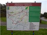 2
2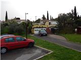 3
3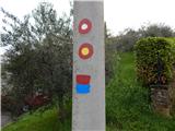 4
4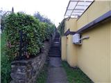 5
5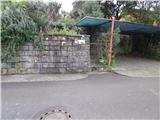 6
6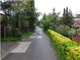 7
7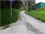 8
8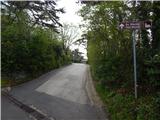 9
9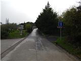 10
10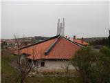 11
11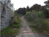 12
12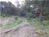 13
13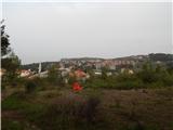 14
14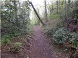 15
15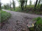 16
16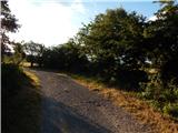 17
17 18
18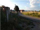 19
19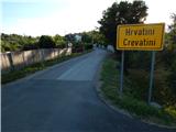 20
20 21
21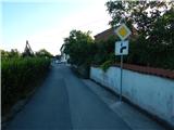 22
22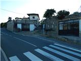 23
23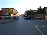 24
24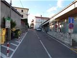 25
25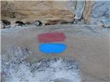 26
26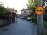 27
27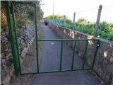 28
28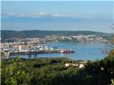 29
29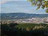 30
30 31
31 32
32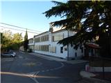 33
33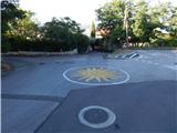 34
34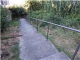 35
35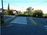 36
36 37
37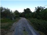 38
38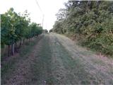 39
39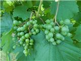 40
40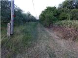 41
41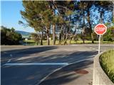 42
42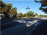 43
43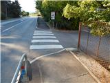 44
44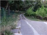 45
45 46
46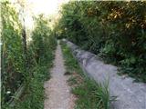 47
47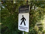 48
48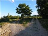 49
49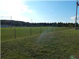 50
50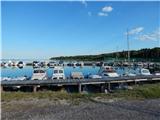 51
51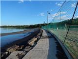 52
52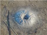 53
53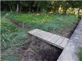 54
54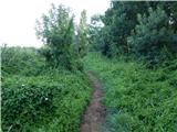 55
55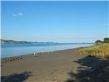 56
56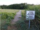 57
57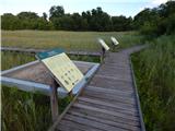 58
58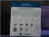 59
59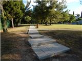 60
60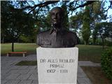 61
61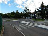 62
62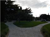 63
63
Discussion about the trip Ankaran - Ankaran (Bebler mountain trail)
|
| istrijan4619. 01. 2024 15:50:00 |
A lot of time has passed since the publication, so a lot has changed.
First, I would like to add that this is a PATH FOR THE HEART AND SOUL, so the markings are indicated with a heart, which is painted red on one side and blue on the other. Symbolically therefore: RED: ENERGY. BLUE: PEACE, RELAXATION, SOUL, which is also the motto in the ASSOCIATION FOR THE HEART.
Second. Now, right after the military area ends, it is possible to turn left to ŠKOLJČNA SIPINA and via a small bridge to the harbor. From there onwards, a new wooden bridge has been made, which brings us past the BEBLER monument to Ankaran.
|
|
|
|
| turbo19. 01. 2024 17:09:06 |
|
|
|
To post a comment you must log in:
If you do not yet have a username, you must first
register.