Ankaran - Črni vrh (Iskra)
Starting point: Ankaran (18 m)
| Latitude/Longitude: | 45,57870°N 13,73690°E |
| |
Walking time: 20 min
Difficulty: easy marked way, easy unmarked way
Elevation gain: 101 m
Elevation difference along the route: 101 m
Map:
Recommended equipment (summer):
Recommended equipment (winter):
Views: 1.420
 | 2 people like this post |
Access to starting point:
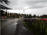
From the Primorska motorway, at the Srmin junction we follow the signs for Škofije and Ankaran, then we take the Škofije exit. From the nearby roundabout, we drive in the direction of Ankaran, then we drive to the centre of the settlement, where we park on a paid parking lot.
Route description:
From the parking lot near the Korta bar, where there is a stamp of SPP for Ankaran, we continue towards the Mercator store, and before the store we arrive at the information board of the Bebler mountain path. From the information board, we walk to the nearby stairs, on which we start ascending among houses. Higher, we reach a narrower asphalt road, which we follow to the right; at the nearby crossroad the blazes direct us onto an ascending road, which we follow for some time in the direction of the parish church of St. Nicholas in Ankaran.
When the road to the church turns left, we continue straight on the road, which soon ends. From the end of the road, we continue on a marked path, from which a nice view opens up on Ankaran, and then the path passes into the forest. For a short time, we ascend through the forest and then we reach the macadam road, where the marked path continues left, and we continue right and after a minute of additional walking we arrive at Črni vrh, where there are some antennas.
Description and pictures refer to the condition in the year 2018 (April).

Photos:
 1
1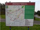 2
2 3
3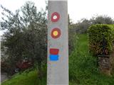 4
4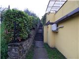 5
5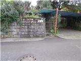 6
6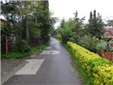 7
7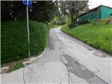 8
8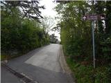 9
9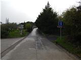 10
10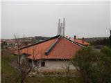 11
11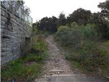 12
12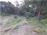 13
13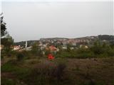 14
14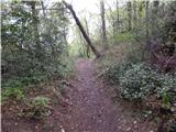 15
15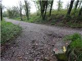 16
16 17
17 18
18 19
19
Discussion about the trip Ankaran - Črni vrh (Iskra)
To post a comment you must log in:
If you do not yet have a username, you must first
register.