Apno - Prgozdnik (Martinova pot)
Starting point: Apno (655 m)
| Latitude/Longitude: | 46,25800°N 14,53260°E |
| |
Route name: Martinova pot
Walking time: 1 h 10 min
Difficulty: easy unmarked way
Elevation gain: 358 m
Elevation difference along the route: 360 m
Map:
Recommended equipment (summer):
Recommended equipment (winter): crampons
Views: 971
 | 1 person like this post |
Access to starting point:
A) From the Ljubljana–Jesenice highway, take the Vodice exit, then follow the signs for Krvavec ski area. Further, we drive through Vodice, Spodnji Brnik, Zgornji Brnik, Cerklje na Gorenjskem to the settlement Grad, where we continue right in the direction of Ambrož pod Krvavcem and Šenturška Gora. A steep ascent follows; when the road flattens, we continue straight towards Šenturška Gora (left Ambrož pod Krvavcem and Stiška vas). Driving through Ravne follows, and then we arrive at the settlement Apno, where the described path begins at the Frantar farm. There are no designated parking spaces at the starting point.
B) From the Jesenice–Ljubljana highway, take the Brnik exit, then follow the signs for Krvavec ski area. Further, we drive past the airport and through the settlements Spodnji Brnik, Zgornji Brnik, Cerklje na Gorenjskem and settlement Grad, where we continue right in the direction of Ambrož pod Krvavcem and Šenturška Gora. A steep ascent follows; when the road flattens, we continue straight towards Šenturška Gora (left Ambrož pod Krvavcem and Stiška vas). Driving through Ravne follows, and then we arrive at the settlement Apno, where the described path begins at the Frantar farm. There are no designated parking spaces at the starting point.
C) First, drive to Kamnik, then head towards Tunjice. From Tunjice follow the road to Sidraž, from Sidraž to Šenturška Gora, from Šenturška Gora continue straight to the neighbouring settlement Apno, where the described path begins at the Frantar farm. There are no designated parking spaces at the starting point.
Route description:
With some effort, we will notice signs for Krvavec and Ambrož pod Krvavcem near the farm, which direct us onto a side road that branches off from the main road towards the north. The path ahead leads us past a few houses, a chapel, and at the end of the settlement we arrive at the ecological island, where we continue left to the nearby sign.
We bypass the sign on the right side, and the cart track along which we walk enters the forest. In the forest we first continue straight, then right in the direction of Martinova pot. A few-minute diagonal ascent towards the right follows, where we walk on a forest footpath, then we reach a junction of cart tracks, but we continue slightly right, again in the direction of Martinova pot. Higher up the cart track has even more junctions, and we follow the better-trodden cart track, or the one alongside which there are signs for Martinova pot (some junctions are not marked, therefore orientation is quite difficult). We then follow the forest cart tracks, with numerous junctions, all the way to the logbook box on Prgozdnik.
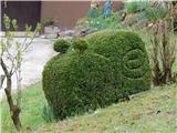
Description and pictures refer to the condition in 2019 (April).

Photos:
 1
1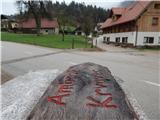 2
2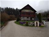 3
3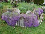 4
4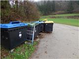 5
5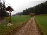 6
6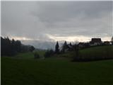 7
7 8
8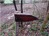 9
9 10
10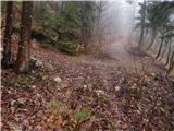 11
11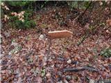 12
12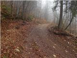 13
13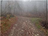 14
14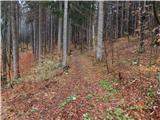 15
15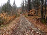 16
16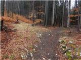 17
17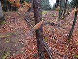 18
18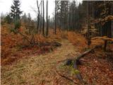 19
19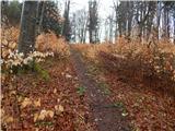 20
20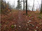 21
21 22
22
Discussion about the trip Apno - Prgozdnik (Martinova pot)
To post a comment you must log in:
If you do not yet have a username, you must first
register.