Avtokamp Šimuni - Sveti Vid (island Pag)
Starting point: Avtokamp Šimuni (17 m)
Walking time: 1 h 5 min
Difficulty: easy marked way
Elevation gain: 332 m
Elevation difference along the route: 350 m
Map:
Recommended equipment (summer):
Recommended equipment (winter):
Views: 10.449
 | 3 people like this post |
Access to starting point:
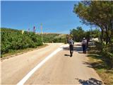
Along the Adriatic Highway past Senj to Prizna, then by ferry to the island of Pag. Continue past Novalja and Zrće, through the village of Kolani, which is also the starting point for the ascent to the summit, to the Šimuni campsite, where we leave the vehicle in the parking lot in front of the camp.
Route description:
From the parking lot at the Šimuni campsite, continue across the road on an initially asphalt road past a homestead, where the asphalt surface turns into gravel. After about 100 m, behind the wall, turn right uphill following the markers and continue another approximately 100 m, where the path turns left and gradually begins to ascend into a not too steep rocky slope. After 20 minutes, we reach a plateau, where the path begins to descend slightly and we also cross a cart track. The path continues to descend to a stone wall in the gully, where we turn left and after about 150 m at the junction with the path from the village of Kolani, go right. The path begins to ascend gradually again, to a small plateau and runs along a small pond or puddle. The final steeper but not too difficult ascent to the summit follows.
From the summit, there is a beautiful view of almost the entire Pag and the surrounding Dalmatian islands, as well as Velebit. In summer days, the path can be quite strenuous due to the heat, so it is recommended to bring enough fluids.

Photos:
 1
1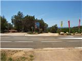 2
2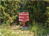 3
3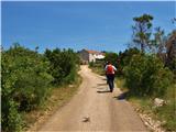 4
4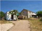 5
5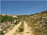 6
6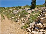 7
7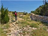 8
8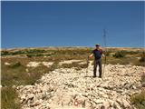 9
9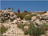 10
10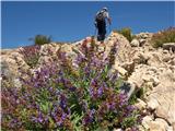 11
11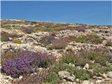 12
12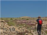 13
13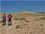 14
14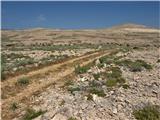 15
15 16
16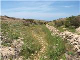 17
17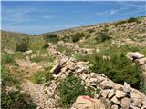 18
18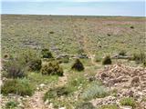 19
19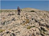 20
20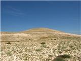 21
21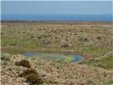 22
22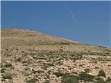 23
23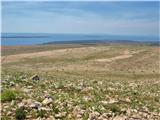 24
24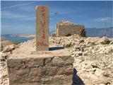 25
25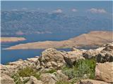 26
26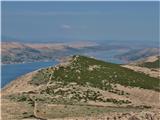 27
27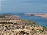 28
28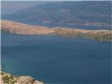 29
29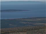 30
30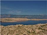 31
31
Discussion about the trip Avtokamp Šimuni - Sveti Vid (island Pag)
To post a comment you must log in:
If you do not yet have a username, you must first
register.