Plajberk pri Beljaku / Bad Bleiberg - Hachelnock
Starting point: Plajberk pri Beljaku / Bad Bleiberg (980 m)
Walking time: 1 h 45 min
Difficulty: easy marked way
Elevation gain: 462 m
Elevation difference along the route: 462 m
Map:
Recommended equipment (summer):
Recommended equipment (winter):
Views: 8.949
 | 2 people like this post |
Access to starting point:
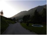
Through the border crossing Korensko sedlo we descend into Austria and when we reach the main road Trbiž / Tarvisio - Beljak / Villach, we continue left towards Trbiž. We follow the main road to the settlement Ziljica / Gailitz, and there at the roundabout we go on the road towards the settlement Šmohor / Hermagor. From the roundabout we drive on the road towards Šmohor approximately 11 km, and then signs for Plajberk pri Beljaku / Bad Bleiberg point us to the left. Further, we drive through the underpass and the road brings us to the center of the settlement Čajna / Nötsch im Gailtal, from there we continue driving towards Plajberk pri Beljaku. Further, we drive on an ascending road, on which past a quarry we quickly get to the settlement Bleiberg Kreuth, and we drive a few kilometers further to the settlement Plajberk pri Beljaku / Bad Bleiberg. Approximately 100 meters before the spa from the main road we turn left on an ascending road and follow the signs for Hotel Klom. We park near the hotel.
Route description:
We go on the forest road and follow the signs »Mittagsnock – Hachelnock«. After approximately 10 minutes of walking, the path branches off to the right towards the climbing wall Traningerwand, and we still continue on the road. For some time we still continue on the road, and then we come at the right turn to a crossing with signposts. We go right upwards following the signs »Hachelnock«, and left upwards leads the path towards the summit Mittagsnock.
From the crossing, we walk on a narrow cart track which at first runs almost parallel with the forest road. Our path further for quite some time ascends through the forest and a few times crosses a road. Such a path then brings us to a marked crossing. Right on the road leads the path towards the mountain hut Hubertushütte and direct path towards the summit of Schwandnock, and we continue slightly left in the forest following the signs Hachelnock.
Further, the path still ascends through the forest and brings us to a crossing at the saddle Hachel (1400 m). At the crossing where there is also a bench and a cross we continue right on the ridge. After approximately 30 minutes of ascent on the ridge we get to the indistinct peak Hachelnock.

Photos:
 1
1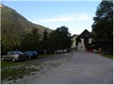 2
2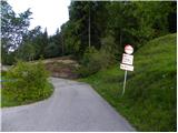 3
3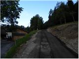 4
4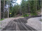 5
5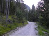 6
6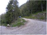 7
7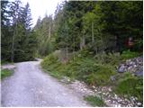 8
8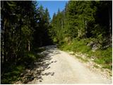 9
9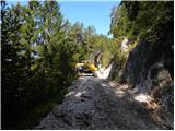 10
10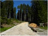 11
11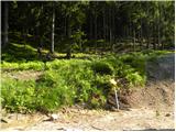 12
12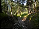 13
13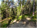 14
14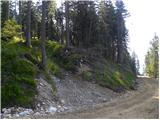 15
15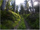 16
16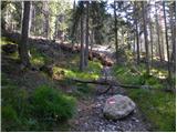 17
17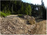 18
18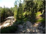 19
19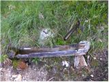 20
20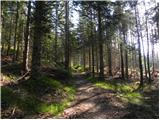 21
21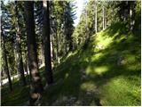 22
22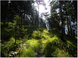 23
23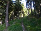 24
24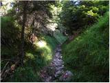 25
25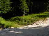 26
26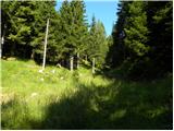 27
27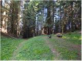 28
28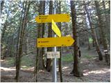 29
29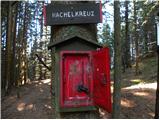 30
30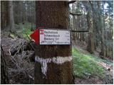 31
31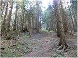 32
32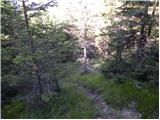 33
33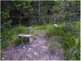 34
34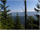 35
35
Discussion about the trip Plajberk pri Beljaku / Bad Bleiberg - Hachelnock
To post a comment you must log in:
If you do not yet have a username, you must first
register.