Železna Kapla / Bad Eisenkappel - Topitza (via Ojstra)
Starting point: Železna Kapla / Bad Eisenkappel (550 m)
Route name: via Ojstra
Walking time: 3 h 45 min
Difficulty: easy marked way
Elevation gain: 1099 m
Elevation difference along the route: 1460 m
Map: Koroška 1:50.000
Recommended equipment (summer):
Recommended equipment (winter): helmet, ice axe, crampons
Views: 1.320
 | 1 person like this post |
Access to starting point:
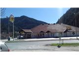
Over the border crossing Jezersko we arrive in Železna Kapla. We can park freely next to the waste dump opposite the BILLA store - when we leave the old part of the town, the road curves slightly to the left. And immediately after the end of the turn there is a smaller T-junction (right is the cemetery, straight ahead left we see the Agip gas station), where we turn left into a narrow street and after 200 m we turn right onto a sandy space, where there are waste containers.
Route description:
Along the narrow road we return to the main one and cross it at the pedestrian crossing. We continue left a few steps and then right up the road into the hill. The first steep section takes us above the cemetery. There it flattens and past the apartment block settlement we come to the next junction. Again we step onto the steep road to the left. At the bend higher up we can cut the road bend along the grassy path "Berghof Brunner".
Then again on asphalt to the bend, where at the fork a signpost directs us onto the upper macadam road. We walk across the road zigzags and then a little higher enter the forest. The path to the ridge is steep in places, but soon eases. We approach the macadam road (which we walked on at the beginning) to its end. A little further we cross a clearing. In the forest we bypass another one, after which we are again on the road. We take the lower one and are before a large clearing with a cottage and hunting observation post. We go past both to the other end and there continue towards the top of the ridge to the left. We have arrived at Prevernikovo sedlo.
The path leads us right along the cart track and then onto the path on the left side of the ridge. We slowly climb to the ridge, after which we again start grinding our knees. At the end of this challenge we are at the top of Ojstra.
From the top of Ojstra we follow the sign Wögelhof, Bad Eisenkappel, path 671. We descend the steep slope embraced by the forest. Lower down we reach a series of cart tracks and connecting paths, which slowly gain elevation. Somewhere here the name Topitza, 641 starts appearing on the signposts. Due to logging there are nice views of the surrounding hills in places.
From the path we come to a longer clearing, which ends with a hut on the ridge shoulder. We continue a little further on the level into the forest and past a signpost climb to the top of Topica.

Photos:
 1
1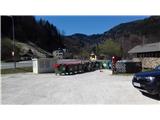 2
2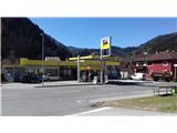 3
3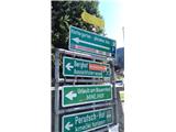 4
4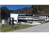 5
5 6
6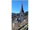 7
7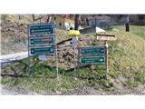 8
8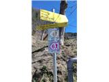 9
9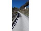 10
10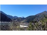 11
11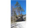 12
12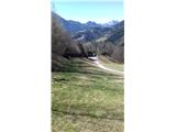 13
13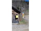 14
14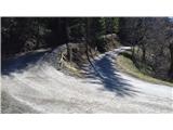 15
15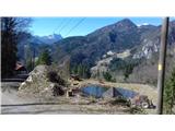 16
16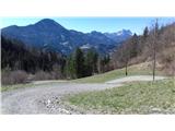 17
17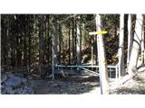 18
18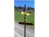 19
19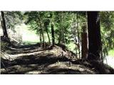 20
20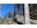 21
21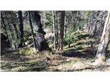 22
22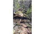 23
23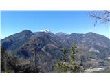 24
24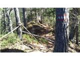 25
25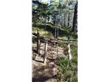 26
26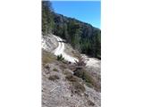 27
27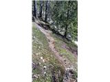 28
28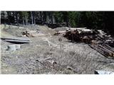 29
29 30
30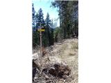 31
31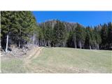 32
32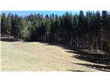 33
33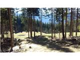 34
34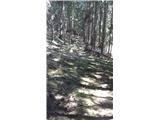 35
35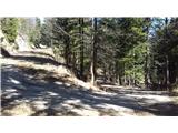 36
36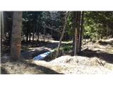 37
37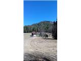 38
38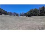 39
39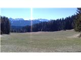 40
40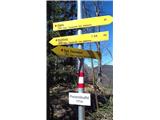 41
41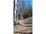 42
42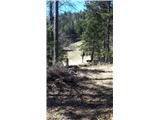 43
43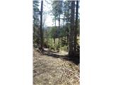 44
44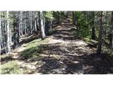 45
45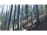 46
46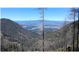 47
47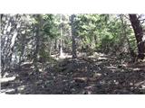 48
48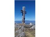 49
49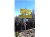 50
50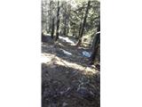 51
51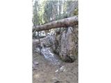 52
52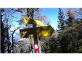 53
53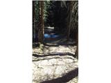 54
54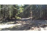 55
55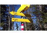 56
56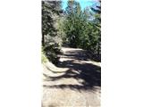 57
57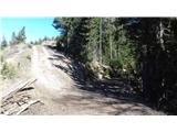 58
58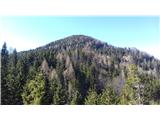 59
59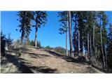 60
60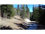 61
61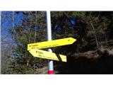 62
62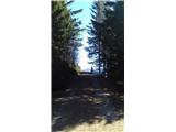 63
63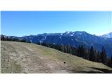 64
64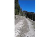 65
65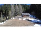 66
66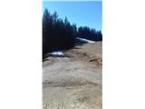 67
67 68
68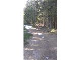 69
69 70
70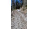 71
71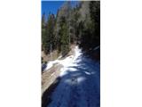 72
72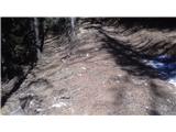 73
73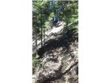 74
74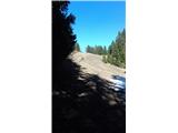 75
75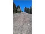 76
76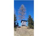 77
77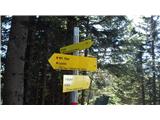 78
78 79
79 80
80
Discussion about the trip Železna Kapla / Bad Eisenkappel - Topitza (via Ojstra)
To post a comment you must log in:
If you do not yet have a username, you must first
register.