Bavšica - Šmihelovec (via Čez Lužo)
Starting point: Bavšica (698 m)
| Latitude/Longitude: | 46,36990°N 13,62990°E |
| |
Route name: via Čez Lužo
Walking time: 4 h 40 min
Difficulty: difficult pathless terrain, partly demanding unmarked way
Elevation gain: 1420 m
Elevation difference along the route: 1475 m
Map: Julijske Alpe - zahodni del 1:50.000
Recommended equipment (summer): helmet
Recommended equipment (winter): helmet, ice axe, crampons
Views: 142
 | 1 person like this post |
Access to starting point:
From the road Bovec - Predel, at the Kluže fortress, an asphalt road branches off to the right into the Bavšica valley. We take the mentioned road, which we follow in a moderate ascent to the parking lot in Bavšica (the parking lot is located by the mountain signposts and an information board).
Route description:
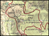
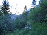
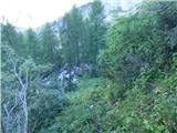
From the parking lot we continue along the right road, which quickly takes us to the Bavšica Mountain Education Center. We continue straight, initially still along the cart track towards Planina Bukovec and Bavški Grintavec. At the benches with a table the cart track ends and the markings direct us slightly to the right onto a footpath. The path crosses the Kopica stream, along which it then ascends. Soon we cross the streambed to the left side and subsequently ascend relatively steeply for some time, mostly above the mentioned stream. The path leads us occasionally through forest and occasionally by shrubbery. Higher up the valley along which we ascend narrows and the path leads us under steep walls. Here the path comes very close to the streamlet and later also crosses it. After crossing, the path ascends a steeper slope where a piton is also helpful at one short spot. There follows an ascent mostly through forest, after which the path takes us to the hunting hut on Planina Bukovec.
From the hunting hut we continue right along the marked path and the path soon takes us to a steeper slope above a vegetated gully. Along the track we descend to the gully and cross it to the other side. The slope above the gully is quite steep so some caution is needed. At one short section a few pitons and crampons are also helpful.
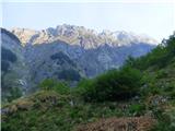
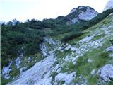
On the other side of the gully the path runs in a southerly direction and leads us to slopes partially overgrown with dwarf pines. From here increasingly beautiful views of the surrounding mountains also begin to open up. Here we can notice an unmarked track that branches off to the right, but we continue for a short time along the left marked path and then reach a marked junction.
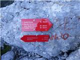
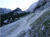
Right leads the path towards Bavški Grintavec via Vrh Brda, but we continue left in the direction of Sedlo Kanja. The path quickly takes us to a scree slope, which we cross. After crossing the scree the path again takes us to dwarf pines where we notice a poorly trodden track that runs left through the dwarf pines.
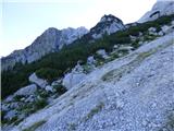
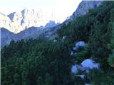
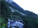
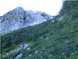
We leave the marked path and head onto the mentioned track and cross the slope on the western side of peak Kanja overgrown with dwarf pines. The track is poorly trodden and occasionally also somewhat overgrown. From the dwarf pines the path takes us to a small valley or gully where we continue right upwards for a short time, then turn left again where we notice the continuation of the track that runs through dwarf pines. We again cross the slope overgrown with dwarf pines towards the north. When we reach the northwest side of peak Kanja we also descend a little. Here we can also notice a few tracks that turn right somewhat upwards towards the small valley between Šmihelovec and Kanja, but we continue straight and cross the slopes towards the north. We follow the poorly visible track towards the grassy slopes on the western side of Šmihelovec.
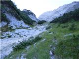
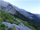
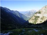
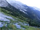
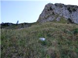
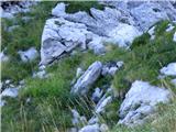
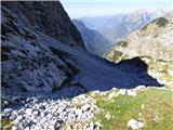
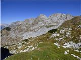
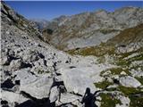
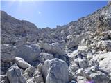
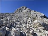
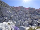
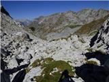
On the mentioned grassy slopes we continue right towards the small valley on the northern side of Šmihelovec. The grassy slope is somewhat steeper, so especially when wet some caution is needed. Along the slope where the track is mostly not visible we reach the small valley on the northern side of Šmihelovec. We continue along scree slopes in the mentioned valley. Higher up the valley turns right and an ascent follows along a slope strewn with numerous rocks and boulders. On this section we keep to the left part of the valley where a cairn is also helpful for orientation. Along such terrain we then reach the Čez Lužo saddle.
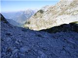
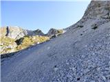
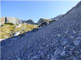
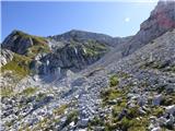
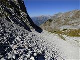
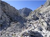
Here on the right side, left of peak Šmihelovec, we notice a distinct gully that leads towards the ridge. Across the scree we head towards the mentioned gully along which we then reach a small notch on the ridge. In the gully, which is relatively steep, there is also quite a lot of gravel, so it can also slide quite a bit. It is advisable to ascend along the left edge of the gully where we can also help ourselves with the rock.
At the notch where a view opens towards the west we continue right and first cross the slope on the left (western) side of the ridge. During the crossing some caution is needed, as the slope is slightly exposed and dangerous for slipping. On this section a few cairns are also helpful. After a few dozen meters of crossing we then head right upwards along a fairly steep slope that is partially overgrown with grass. Along the slope, which continues to be dangerous for slipping, we ascend towards the ridge. Shortly before the ridge the steepness eases a little, but we continue slightly left and only a short ascent remains to the scenic summit.
Photos:
 1
 2
 3
 4
 5
 6
 7
 8
 9
 10
 11
 12
 13
 14
 15
 16
 17
 18
 19
 20
 21
 22
 23
 24
 25
 26
 27
 28
 29
 30
 31
 32
 33
 34
 35
 36
 37
 38
 39
 40
 41
 42
 43
 44
 45
 46
 47
 48
 49
 50
 51
 52
 53
 54
 55
 56
 57
 58
 59
 60
 61
 62
 63
 64
 65
 66
 67
 68
 69
 70
 71
 72
 73
 74
 75
 76
 77
 78
 79
 80
 81
 82
 83
 84
 85
 86
 87
 88
 89
 90
 91
 92
 93
 94
 95
 96
 97
 98
Discussion about the trip Bavšica - Šmihelovec (via Čez Lužo)
To post a comment you must log in:
If you do not yet have a username, you must first
register.