Begunje (Preska) - Šentanski vrh
Starting point: Begunje (Preska) (650 m)
| Latitude/Longitude: | 46,37380°N 14,21700°E |
| |
Walking time: 3 h 5 min
Difficulty: easy marked way
Elevation gain: 985 m
Elevation difference along the route: 1020 m
Map: Karavanke - osrednji del 1:50.000
Recommended equipment (summer):
Recommended equipment (winter): ice axe, crampons
Views: 5.905
 | 1 person like this post |
Access to starting point:
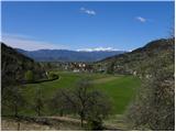
From the Ljubljana–Jesenice motorway take the Radovljica exit (from the Gorenjska side the Lesce exit) and follow the road ahead in the direction of Begunje. At the end of the village Begunje we turn right towards Tržič, but we drive on along the road to a smaller junction, where a macadam road joins from the right. We park in an appropriate place by the junction.
To the starting point we can also come from the direction of Tržič.
Route description:
From the starting point, we carefully cross the road, and then we head onto a marked footpath which leads to Dobrča (the beginning of the path is not marked). The path first ascends through dense forest, then flattens and crosses the slopes to the right. A short descent follows and the path brings us to a cart track, which we follow to the left. The cart track immediately starts to ascend, and at the junctions we follow it in the direction where the blazes lead. A little further, a path from Slatna joins from the right, and we continue straight ahead in the direction of Dobrča. The path ahead ascends moderately to steeply through the forest, and we only occasionally cross a panoramic slope. Higher up we cross the forest road a few times, then join a somewhat wider path which leads from Hudi Graben. Further on we continue ascending through the forest, and the marked path crosses the forest road a few more times, which leads to the Koča na Dobrči mountain hut. After a while the path turns slightly to the right and ascends somewhat more steeply. Crossing a grazing fence follows and the path brings us out of the forest, from where the mountain hut is only a few dozen steps away.
Near the Koča na Dobrči mountain hut, signs for the Dobrča peak direct us onto the forest road, along which we begin to descend gently towards the north. After a short descent we notice signposts which direct us right to Podgorska planina mountain pasture, whose huts we bypass on the right side. Next we ascend over a panoramic grassy slope, then the path enters initially sparse forest, becoming denser higher up. When the slope eases, two paths join from the right, and in both cases we continue straight ahead. The path ahead ascends more steeply again and after a few minutes of further walking brings us to the summit of Dobrča.
From Dobrča we continue in the direction of Šentanski vrh along the path which first descends into a small valley between the two peaks, then ascends moderately and after a few dozen steps of further walking brings us to Šentanski vrh.

Photos:
 1
1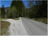 2
2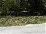 3
3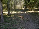 4
4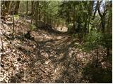 5
5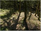 6
6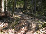 7
7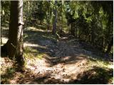 8
8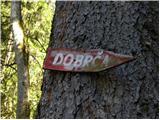 9
9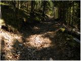 10
10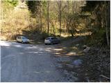 11
11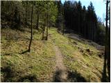 12
12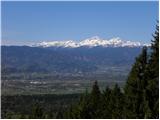 13
13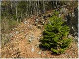 14
14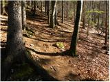 15
15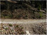 16
16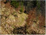 17
17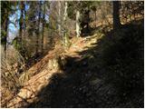 18
18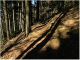 19
19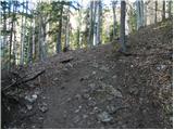 20
20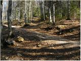 21
21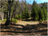 22
22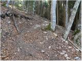 23
23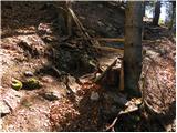 24
24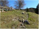 25
25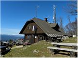 26
26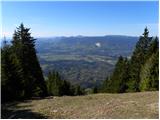 27
27 28
28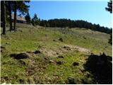 29
29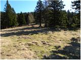 30
30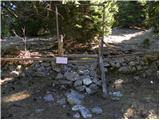 31
31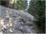 32
32 33
33 34
34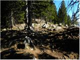 35
35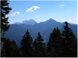 36
36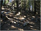 37
37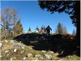 38
38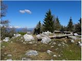 39
39 40
40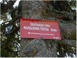 41
41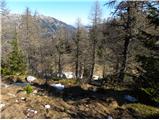 42
42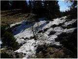 43
43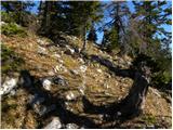 44
44 45
45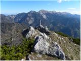 46
46 47
47
Discussion about the trip Begunje (Preska) - Šentanski vrh
To post a comment you must log in:
If you do not yet have a username, you must first
register.