Beli Potok pri Frankolovem - Lindek Castle
Starting point: Beli Potok pri Frankolovem (435 m)
| Latitude/Longitude: | 46,34840°N 15,32300°E |
| |
Walking time: 45 min
Difficulty: easy marked way
Elevation gain: 260 m
Elevation difference along the route: 260 m
Map:
Recommended equipment (summer):
Recommended equipment (winter): crampons
Views: 9.217
 | 1 person like this post |
Access to starting point:
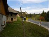
From the highway Ljubljana - Maribor, we take the exit Celje - center, then continue driving towards Vojnik, Frankolovo and Zreče. At the end of Frankolovo, we will notice signs for Lindek Castle (Grad Lindek), which point us to the left onto a narrower and ascending asphalt road. Beside the mentioned road, we then park at an appropriate place.
Route description:
We walk for a few minutes on the asphalt road, then arrive at a smaller intersection, where we do not continue either left or right, but straight on the marked cart track in the direction of Lindek Castle, Kislice and Stenica. The path ahead ascends along the cart track beside the riverbed of the Belski potok stream. Higher up, we cross the mentioned stream and the path brings us to the 9 m high Lindeški slap waterfall. Above the waterfall, the path passes onto slightly steeper slopes, then flattens and turns slightly to the right. There follow a few minutes of gentle ascent through the forest, then the path brings us to the nearby macadam road. We follow the road to the right, and it brings us after just a few steps to a small saddle, where there is a marked junction.
Here we continue right in the direction of Lindek Castle (left along the road to Stenica) and continue on the cart track, which gently ascends through the forest. We then follow this path all the way to the ruins of Lindek Castle, arriving there after approximately 10 minutes of additional walking.

Photos:
 1
1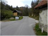 2
2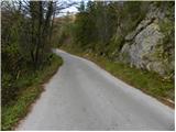 3
3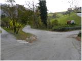 4
4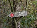 5
5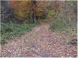 6
6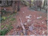 7
7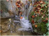 8
8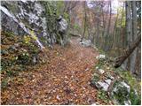 9
9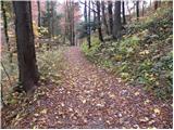 10
10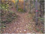 11
11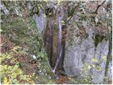 12
12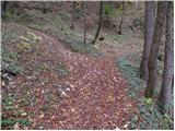 13
13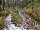 14
14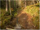 15
15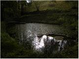 16
16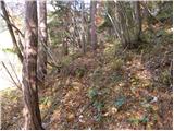 17
17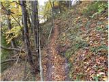 18
18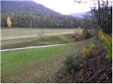 19
19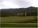 20
20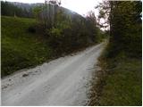 21
21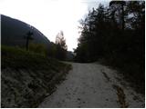 22
22 23
23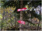 24
24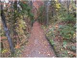 25
25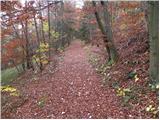 26
26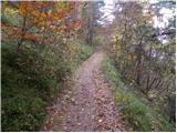 27
27 28
28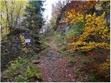 29
29 30
30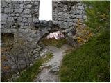 31
31 32
32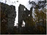 33
33 34
34 35
35
Discussion about the trip Beli Potok pri Frankolovem - Lindek Castle
To post a comment you must log in:
If you do not yet have a username, you must first
register.