Belo - Polhograjska Grmada
Starting point: Belo (650 m)
| Latitude/Longitude: | 46,07890°N 14,35890°E |
| |
Walking time: 1 h 20 min
Difficulty: easy marked way
Elevation gain: 248 m
Elevation difference along the route: 280 m
Map: Ljubljana - okolica 1:50.000
Recommended equipment (summer):
Recommended equipment (winter): ice axe, crampons
Views: 14.806
 | 1 person like this post |
Access to starting point:
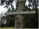
A) First, we drive to Medvode, then we continue driving towards the village Sora, where at the intersection we turn left towards Katarina (Topol). Further, we drive through the Ločnica valley, after that a somewhat more winding road brings us to the village Topol. Here at the intersection we continue right and continue driving in the direction of the village Belo. From Topol onwards we follow the macadam road to the open-door farm pr' Lenart.
B) From the Ljubljana - Koper highway we take the Brezovica exit, then we continue driving towards Dobrova pri Ljubljani and later Polhov Gradec. Just a little before the village Hrastenice, we will come to an intersection, where signs for the places Belo, Topol and Osredek direct us right onto an ascending road. We follow the narrow and steep road to the beginning of the village Topol, where we turn sharply left in the direction of the village Belo. From Topol onwards we follow the macadam road to the open-door farm pr' Lenart.
Route description:
From the farm pr' Lenart, or also from the road some 10 m before the mentioned farm, we continue slightly right onto a panoramic grassy ridge, along the top of which runs a worse partly cart-track road. Along the mentioned road we walk to its end, then we continue on a marked path, which first in a diagonal ascent gently ascends to a smaller saddle. Here the path passes to the other side of the hill and continues ascending gently for some time along a path that is in places quite narrow and covered with leaves. After approximately half an hour of walking, we join a much wider and better beaten path from Topol, which we follow to the left. The path ahead leads us past the NOB monument, after which we quickly arrive at a nice vantage point from which a beautiful view opens up over the surrounding hills. The path ahead continues for some time with a few shorter ascents and descents, then brings us to a marked junction below the summit slopes of Grmada.
We continue straight in the direction of Grmada (right tourist farm Gonte) and continue along an increasingly steep and gradually also increasingly panoramic path. We follow this path, to which two more paths join a little below the summit, all the way to the panoramic summit, which we reach after a few minutes of further walking.

The trip can be extended to the following destinations: Tošč
Photos:
 1
1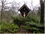 2
2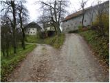 3
3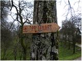 4
4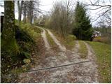 5
5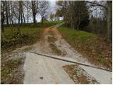 6
6 7
7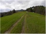 8
8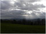 9
9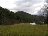 10
10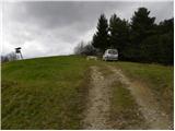 11
11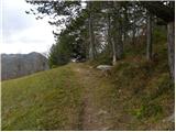 12
12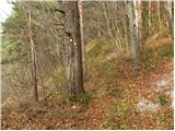 13
13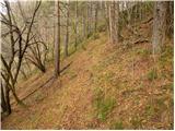 14
14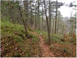 15
15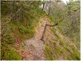 16
16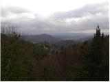 17
17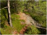 18
18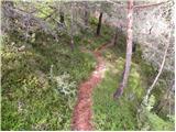 19
19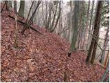 20
20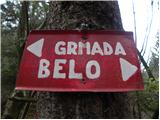 21
21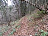 22
22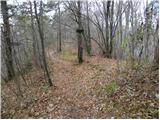 23
23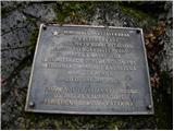 24
24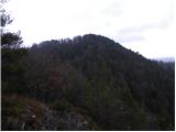 25
25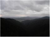 26
26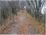 27
27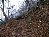 28
28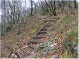 29
29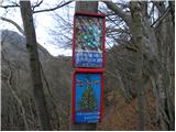 30
30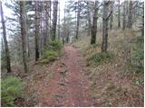 31
31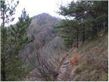 32
32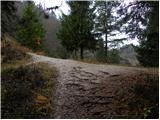 33
33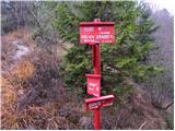 34
34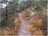 35
35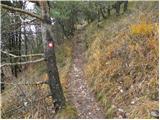 36
36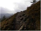 37
37 38
38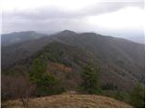 39
39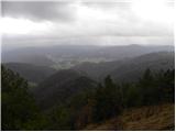 40
40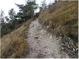 41
41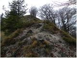 42
42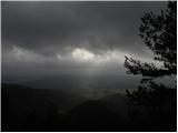 43
43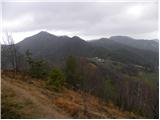 44
44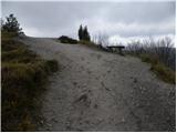 45
45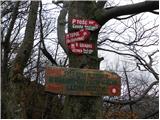 46
46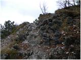 47
47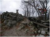 48
48 49
49
Discussion about the trip Belo - Polhograjska Grmada
To post a comment you must log in:
If you do not yet have a username, you must first
register.