Bevški vrh - Mali Modrasovec
Starting point: Bevški vrh (1080 m)
| Latitude/Longitude: | 45,96137°N 13,84531°E |
| |
Walking time: 1 h 50 min
Difficulty: easy marked way, easy unmarked way
Elevation gain: 225 m
Elevation difference along the route: 350 m
Map:
Recommended equipment (summer):
Recommended equipment (winter): ice axe, crampons
Views: 119
 | 1 person like this post |
Access to starting point:
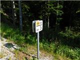
a) Drive to Col, then follow the road in the direction of Otlice and Predmeja. This is followed by driving across the Gora plateau, where the road takes us through several villages; upon reaching Predmeja, we join the road from Ajdovščina and continue right towards the settlement of Lokve. The road ahead leads through a small valley, where first a marked path branches off to the right towards Golakov, slightly further on the road turns left and climbs from the valley onto the slope. Higher up, when the road turns right, continue for about 3.5 km to the road marker, where first on the left and about 50 m further on the right, notice a suitable parking area. Nearby are mountaineering signs for Čaven and Golake.
b) Drive to Ajdovščina, then follow signs for Lokavec and Predmeja. This is followed by a fairly steep ascent along the road to Predmeja, where continue straight towards the settlement of Lokve. The road ahead leads through a small valley, where first a marked path branches off to the right towards Golakov, slightly further on the road turns left and climbs from the valley onto the slope. Higher up, when the road turns right, continue for about 3.5 km to the road marker, where first on the left and about 50 m further on the right, notice a suitable parking area. Nearby are mountaineering signs for Čaven and Golake.
Route description:
On the southern side of the road we notice signs for Koča Antona Bavčerja na Čavnu hut (to the northern side leads the path to Iztokova koča pod Golaki hut), which direct us onto a trail that initially runs parallel to the road, then gradually moves away from it. Several forks follow, where we follow the markers, partly walking on the trail, partly on the cart track; the path leads us occasionally uphill, occasionally downhill. Although the path turns left and right several times, it mostly traverses the slopes to the left, and after about an hour of walking brings us to the road, which we reach right at the junction.
At the junction we merely cross the road and continue the ascent along the cart track towards Čaven. A large number of similar forks follow, where we follow the marked cart track. Higher up, at the head of an indistinct small valley, the cart track ends and we steeply ascend the trail for a short time, then reach another cart track, go left and in a few minutes ascend to a poorer road where the marked path forks.
Continue slightly left towards Koča na Čavnu hut (sharply right Veliki Modrasovec) and briefly continue along the poorer road with the path, soon leaving the road to the right onto the marked footpath which continues along the slopes of Veliki Modrasovec. A few minutes of traversing follow and we reach the saddle between Mali and Veliki Modrasovec, where the path over Veliki Modrasovec joins from the right.
Continue towards Koča na Čavnu hut and gradually reach the western slopes of Mali Modrasovec, where a few minutes long unmarked path to the mentioned summit branches left. Here go left (straight to Koča na Čavnu hut) and quickly ascend Mali Modrasovec along a beaten but unmarked trail.
The description and photos refer to the condition in July 2025.

Photos:
 1
1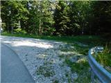 2
2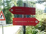 3
3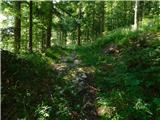 4
4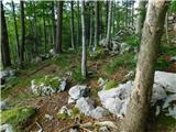 5
5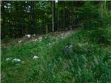 6
6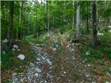 7
7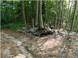 8
8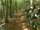 9
9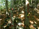 10
10 11
11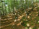 12
12 13
13 14
14 15
15 16
16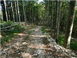 17
17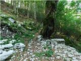 18
18 19
19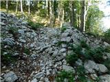 20
20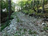 21
21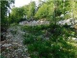 22
22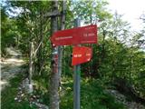 23
23 24
24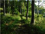 25
25 26
26 27
27 28
28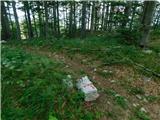 29
29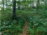 30
30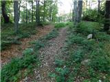 31
31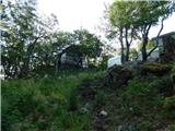 32
32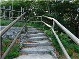 33
33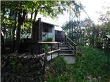 34
34
Discussion about the trip Bevški vrh - Mali Modrasovec
To post a comment you must log in:
If you do not yet have a username, you must first
register.