Bidrovec - Planinarski dom Gorščica (ridge path)
Starting point: Bidrovec (262 m)
Route name: ridge path
Walking time: 2 h
Difficulty: difficult unmarked way
Elevation gain: 434 m
Elevation difference along the route: 612 m
Map:
Recommended equipment (summer):
Recommended equipment (winter): crampons
Views: 493
 | 1 person like this post |
Access to starting point:
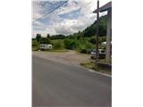
We leave the highway Zagreb-Varaždin at the exit Sesvete, Dugo Selo. We drive to Sesvete and then continue to Zagreb. The road Dubrava, which runs through the eponymous part of Zagreb, we leave at a big crossroad and go right in the direction of Miroševec (at that crossroad there is McDonald's and a large gas station INA). Further on, we drive north in the direction of the Miroševečko cemetery (along the road there are two roundabouts, where we follow the signs for the cemetery). After the cemetery, we go through the park Grad mladih and come to the town Miroševec. We follow only the main road and at the end of the settlement (the beginning of Trnava is not marked) we come to the next roundabout, from which we go straight. We come to the village Popovec (this village is not marked by a sign either) and park at the smaller crossroad just before the place where the road starts to ascend steeply.
The starting point is quite hard to find. I recommend using navigation.
Route description:
From the parking lot in Popovec we go ahead; orientation is easy because Mačkova Pečina is visible below the summit Pečovje. At the inn we go left uphill into the street Površnica. We soon arrive at a junction where path 24 branches off to the left, but we go right and then right again (the junctions are well marked). The asphalt will soon end, and the path that goes past some weekend cottages flattens.
After the last weekend cottage, which is also the most interesting, we enter the forest. After entering the forest, sharply to the left almost imperceptibly a path branches off that goes over the summits Pečovje and Oštrec (on the right side there is a meadow with blue fence posts).
Here it seems as if the path goes across a rocky cart track, but we ascend steeply to the left of the cart track. The path ahead is well-trodden; to the right of the path there is the cart track. Higher up, the path moves to the western slopes and flattens for a while.
After the flat section, the path becomes steeper and the surface increasingly rocky. Here at one spot where it seems the path goes straight ahead, we continue left and arrive at the ridge.
The path becomes technically demanding and briefly exposed; the forest becomes denser. On this section there are exceptional views of the upper part of Medvednica and Sljeme.
This is followed by some very steep sections where we will climb a little and where the difficulty is greatest. On this part of the path, a peg or wire rope would be welcome.
After climbing the demanding section, we are rewarded with beautiful views. The path then flattens and after a few minutes of further walking brings us to the summit Pečovje (655 m). The summit is in the forest and offers no view.
From the summit there follows a descent to the nearby saddle, which we reach via an initially overgrown path that lower down meets the cart track. We leave the cart track after a few minutes and begin ascending again. A steep ascent along the ridge follows, which is not particularly technically demanding. The path along the ridge is interesting also because there are some trees here that we do not see on other parts of Medvednica.
The path ahead brings us to the summit Oštrec, which is also in the forest and offers no view.
From the summit there follows a steep descent through a belt of pine forest; lower down we walk on an often quite muddy cart track. Along the cart track we quickly reach the junction Križni hrast, from where we continue straight north and walk briefly along the road, which we leave when we see the signs for the hut.
We continue along a wider path that after a few minutes brings us to the mountain hut Gorščica.
I do not recommend the path in the rain because the exposed sections are very slippery. The path is orientationally demanding at the beginning.

Along the route: Vrh Pečovje (655m), Vrh Oštrec (737m)
Photos:
 1
1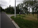 2
2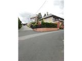 3
3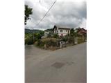 4
4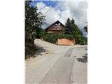 5
5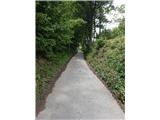 6
6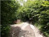 7
7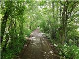 8
8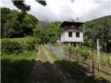 9
9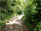 10
10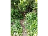 11
11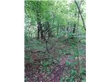 12
12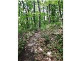 13
13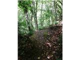 14
14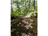 15
15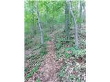 16
16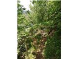 17
17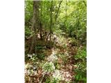 18
18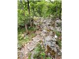 19
19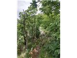 20
20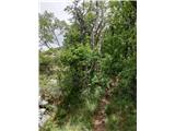 21
21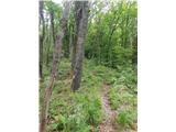 22
22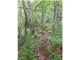 23
23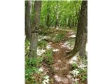 24
24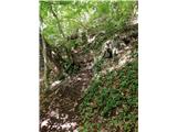 25
25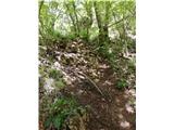 26
26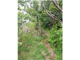 27
27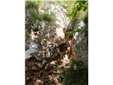 28
28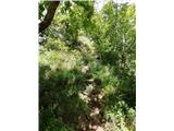 29
29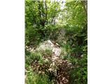 30
30 31
31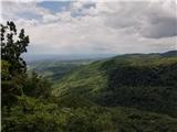 32
32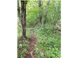 33
33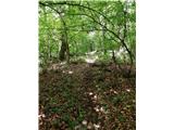 34
34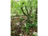 35
35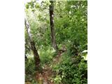 36
36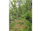 37
37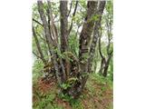 38
38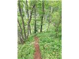 39
39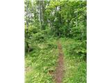 40
40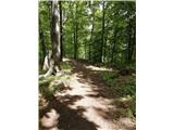 41
41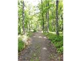 42
42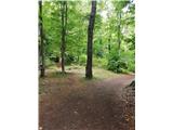 43
43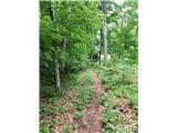 44
44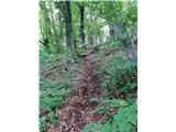 45
45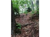 46
46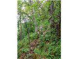 47
47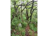 48
48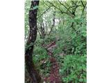 49
49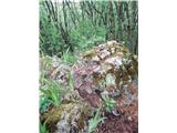 50
50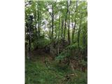 51
51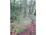 52
52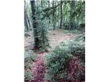 53
53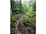 54
54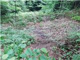 55
55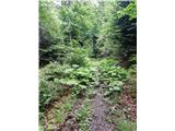 56
56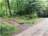 57
57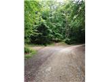 58
58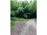 59
59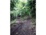 60
60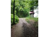 61
61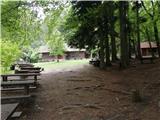 62
62
Discussion about the trip Bidrovec - Planinarski dom Gorščica (ridge path)
To post a comment you must log in:
If you do not yet have a username, you must first
register.