Blagovica - Limbarska gora
Starting point: Blagovica (412 m)
| Latitude/Longitude: | 46,17500°N 14,80340°E |
| |
Walking time: 1 h 30 min
Difficulty: easy marked way
Elevation gain: 361 m
Elevation difference along the route: 425 m
Map: Posavsko hribovje - zahodni del 1:50.000
Recommended equipment (summer):
Recommended equipment (winter):
Views: 20.509
 | 3 people like this post |
Access to starting point:
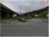
From the highway Ljubljana - Maribor, we take the exit Blagovica, and then we continue driving towards the mentioned settlement. Only a few 10 meters after the sign Blagovica, we notice signs for Golčaj, which point us to the right, on the road which goes through the underpass below the highway. We park on a parking lot right by the main road, opposite the fire station.
Route description:
From the parking lot, we continue on an ascending road which goes through the underpass, and then signs for Golčaj point us to the left on a steep footpath which further ascends south of the highway, whose traffic we still hear for some time. A little higher we cross the road and continue the ascent on a wider cart track which leads us past the water catchment. The cart track then becomes increasingly steep and higher brings us to a crossing, where we continue sharply left on the left cart track, which we follow only a short time because then signs for Golčaj point us to the right on a nicely marked footpath. Higher, we join a narrow cart track for a short time, and then we again continue on a relatively steep mountain path. The path higher flattens and brings us to a marked crossing right next to Golčaj. Here we continue left (right Limbarska gora) on a moderately steep forest path, on which in 3 minutes of additional walking we arrive at the top.
From the top, we continue slightly right and after a short descent we arrive at the nearby church of St. Neža. From the church, we return to the marked crossing below the top of Golčaj (to the mentioned crossing we can also arrive via a transverse path which bypasses Golčaj), and then we continue in the direction of Limbarska gora. The path ahead for some time runs almost horizontally, and then it starts to descend more noticeably. A well-marked path, which has quite a few crossings, soon flattens and past a cross brings us to an asphalt road which leads to Limbarska gora. We continue for some time on the mentioned road, and then at a smaller hamlet the blazes direct us right downhill onto a macadam road. A short descent follows, and then the road first turns left and then right and in a moderate ascent brings us to the next hamlet. Here we walk through a few yards, and then the blazes direct us onto a grassy cart track, on which across a panoramic slope we return to the asphalt road. A short gentle ascent follows and the path brings us to the inn and church on the top of Limbarska gora.

Photos:
 1
1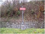 2
2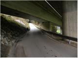 3
3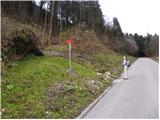 4
4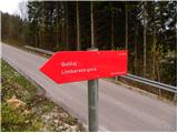 5
5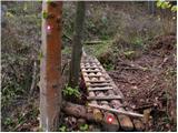 6
6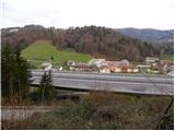 7
7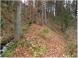 8
8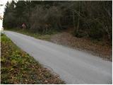 9
9 10
10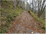 11
11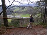 12
12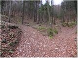 13
13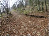 14
14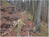 15
15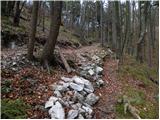 16
16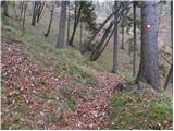 17
17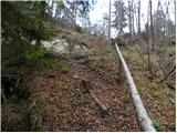 18
18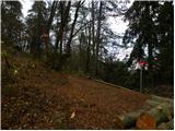 19
19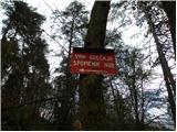 20
20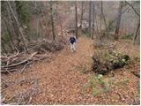 21
21 22
22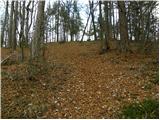 23
23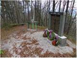 24
24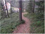 25
25 26
26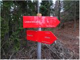 27
27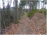 28
28 29
29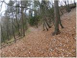 30
30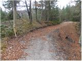 31
31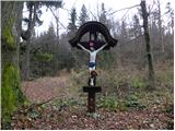 32
32 33
33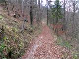 34
34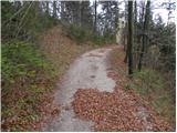 35
35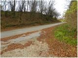 36
36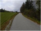 37
37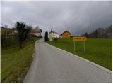 38
38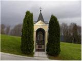 39
39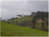 40
40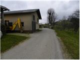 41
41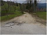 42
42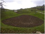 43
43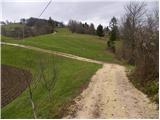 44
44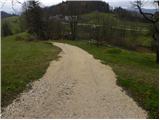 45
45 46
46 47
47 48
48 49
49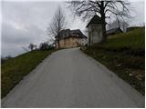 50
50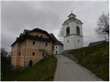 51
51 52
52 53
53 54
54
Discussion about the trip Blagovica - Limbarska gora
|
| tisa17. 11. 2010 |
I've been to Limbarska gora several times, always from Moravče over Serjuče. I'm glad I discovered another path, for a change.
Thanks to the author and best regards.
|
|
|
|
| krsto716. 11. 2011 |
I have also been to Limbarska gora several times, but today for the first time from this side. The path is very nice, although a bit strenuous in the first part, it is very steep to Golčaj, from Golčaj to Limbarska gora it is practically almost flat, except for the last few tens of meters of ascent to the top.
|
|
|
|
| alra 1919. 02. 2021 |
Is this trail still marked?
|
|
|
|
| zokipoki19. 02. 2021 |
I think it is. Under Golčaj right towards Limbarska gora, through forest, scrub and then you step onto the road. Solitary trail.
|
|
|
|
| Fulcrum19. 02. 2021 |
The trail is fully marked. The last part you can go along the road instead of the gravel road (picture 42).
The trail is indeed lonelier, as most people head to Limbarska from other starting points (or just drive to the top) . .
|
|
|
To post a comment you must log in:
If you do not yet have a username, you must first
register.