Starting point: Blagovica (412 m)
| Latitude/Longitude: | 46,17630°N 14,80220°E |
| |
Walking time: 1 h 30 min
Difficulty: easy marked way
Elevation gain: 544 m
Elevation difference along the route: 550 m
Map: Posavsko hribovje - zahodni del 1:50.000
Recommended equipment (summer):
Recommended equipment (winter):
Views: 15.350
 | 1 person like this post |
Access to starting point:
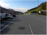
From the Ljubljana–Maribor highway, take the Blagovica exit, then continue driving towards the mentioned settlement. Just a few dozen meters after the Blagovica sign, leave the main road and turn left into the center of the village, where we park on one of the several well-maintained parking lots.
Route description:
We start in the center of Blagovica, where we notice signs for Špilk. The path at first leads on an asphalt road, and we follow it only to the end of the village, where signs point us to the right on a bad macadam road. We follow the road for a short time, and then on a power line pole we notice a blaze, which points us on an ascending footpath. Further, we ascend on a well-marked path, which crosses a strip of forest and then brings us to a larger grassy slope, where the footpath temporarily vanishes. Across the grassy slope we continue in approximately the same direction as we were ascending until now. Higher, we cross another short strip of forest, and then the footpath again vanishes in grassy meadows. Also through this meadow we ascend in approximately the same direction, and then we step on a cart track which quickly brings us to a smaller religious symbol, after which we get to some houses.
We continue past a few houses and then continue the ascent on the asphalt road, which quickly brings us to a marked crossroad. We continue in the direction towards Špilk and for some time continue the path on the road, which soon becomes macadam. Higher, we cross the asphalt road, and we continue the path on a wide cart track which higher ascends over a panoramic slope. The cart track higher approaches residential houses, and just a few dozen meters before them we continue left on a somewhat steeper and still well-marked path. Higher, the path (partly cart track) with nice views on Golčaj and Limbarska gora brings us to the next hamlet, through which we follow the signs for Špilk. On the asphalt road we ascend above the hamlet, and then we continue left on the macadam road which gradually turns more and more to the right. Higher, we step out of the forest onto a panoramic meadow (a view opens up on Menina planina), where we come to a marked junction.
We continue right (left - NOB monument, slightly left - Kekec) on a wide cart track which gently descends along the edge of pastures. Immediately when the path brings us into the forest, signs for Špilk direct us right onto a relatively steep footpath, on which in under 10 minutes of further walking we arrive at the summit, in the middle of which stands a smaller bivouac.

Photos:
 1
1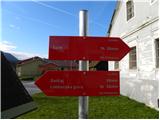 2
2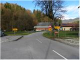 3
3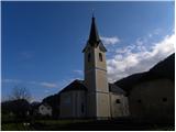 4
4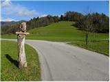 5
5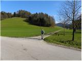 6
6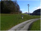 7
7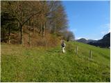 8
8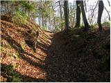 9
9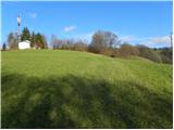 10
10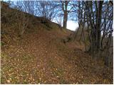 11
11 12
12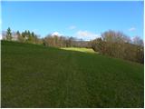 13
13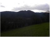 14
14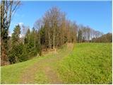 15
15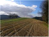 16
16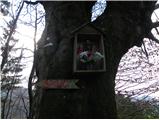 17
17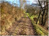 18
18 19
19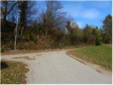 20
20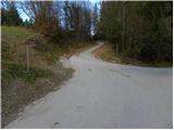 21
21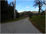 22
22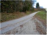 23
23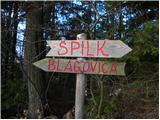 24
24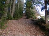 25
25 26
26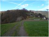 27
27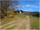 28
28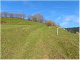 29
29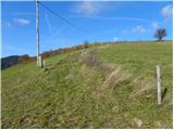 30
30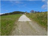 31
31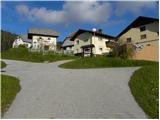 32
32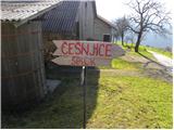 33
33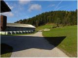 34
34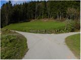 35
35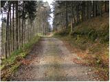 36
36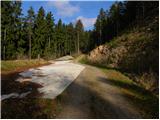 37
37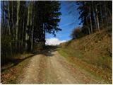 38
38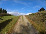 39
39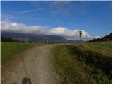 40
40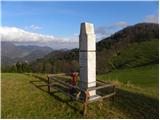 41
41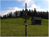 42
42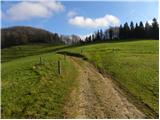 43
43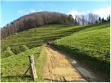 44
44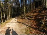 45
45 46
46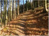 47
47 48
48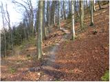 49
49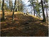 50
50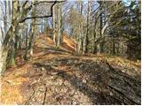 51
51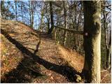 52
52 53
53
Discussion about the trip Blagovica - Špilk
|
| bruny30. 10. 2011 |
 Today on the path to Špilk from the center of Blagovica - ,,Blagovce,, to the settlement Gabrje pod Špilkom as the starting point of the path for the western branch of Rokovnjaška planinska pot - further towards Selca - Češnjice -... The path is excellently described perfectly - nice blend of forest and meadow paths - but you really have to step up, because the altitude gains nicely to Gabrje pod Špilkom... Today on the path to Špilk from the center of Blagovica - ,,Blagovce,, to the settlement Gabrje pod Špilkom as the starting point of the path for the western branch of Rokovnjaška planinska pot - further towards Selca - Češnjice -... The path is excellently described perfectly - nice blend of forest and meadow paths - but you really have to step up, because the altitude gains nicely to Gabrje pod Špilkom...
|
|
|
|
| CarpeDiem2477. 08. 2022 12:47:12 |
Today there's a NOB celebration nearby here and then only 10 minutes to the bivouac. Next time I'll go up by bike, from Šmartno v Tuhinju, there's a nice road.
|
|
|
To post a comment you must log in:
If you do not yet have a username, you must first
register.