Blatni dol - Koča na Planini nad Vrhniko
Starting point: Blatni dol (315 m)
| Latitude/Longitude: | 45,96250°N 14,27010°E |
| |
Walking time: 1 h 10 min
Difficulty: easy marked way
Elevation gain: 418 m
Elevation difference along the route: 418 m
Map:
Recommended equipment (summer):
Recommended equipment (winter):
Views: 10.090
 | 1 person like this post |
Access to starting point:
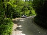
From the Ljubljana - Koper highway, we take the Vrhnika exit, then continue driving on the old road towards Logatec. At the last traffic light in Vrhnika, which we recognise by the nearby bank and pharmacy, we turn right, then at the next intersections follow the road in the direction of Stari maln. The road then leads us past Kurja vas and loses its asphalt surface. When we notice signs for Blatni dol, Gačnik and Star maln by the road, we park at a suitable place beside the road.
Route description:
At the starting point, we notice signs for Blatni dol, which direct us to the right onto a wide ascending cart track. After a good 10 minutes of ascent, we come to a marked junction at the edge of Blatni dol, where we continue right in the direction of Planina (straight to Star maln) and continue the ascent on a wide cart track. Higher, we cross two power lines, and the path splits a little further into two parts.
We continue on the right path in the direction of Planina (left still further on the Zaplana cart track) and continue the ascent on a somewhat steeper footpath, which ascends further through dense forest. Higher, we cross a worse cart track, then join the path from Vrhnika past Bukev. We continue on a wider mountain path, on which in a few minutes of further walking we arrive at the Zavetišče na Planini nad Vrhniko, beside which there is a good 20 m high lookout tower.
Description and pictures refer to the situation in June 2010.
Photos:
 1
1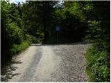 2
2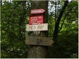 3
3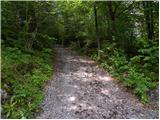 4
4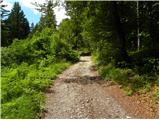 5
5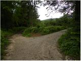 6
6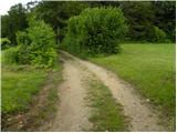 7
7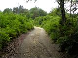 8
8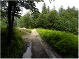 9
9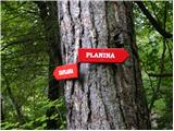 10
10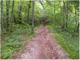 11
11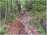 12
12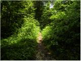 13
13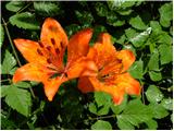 14
14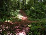 15
15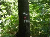 16
16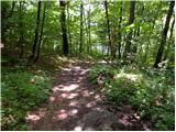 17
17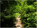 18
18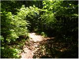 19
19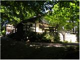 20
20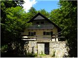 21
21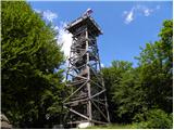 22
22 23
23
Discussion about the trip Blatni dol - Koča na Planini nad Vrhniko
To post a comment you must log in:
If you do not yet have a username, you must first
register.