Blejska Dobrava (pokopališče) - Hom at Bled (on east slope)
Starting point: Blejska Dobrava (pokopališče) (560 m)
| Latitude/Longitude: | 46,40680°N 14,10660°E |
| |
Route name: on east slope
Walking time: 1 h 5 min
Difficulty: easy unmarked way
Elevation gain: 274 m
Elevation difference along the route: 354 m
Map: TNP 1 : 50.000
Recommended equipment (summer):
Recommended equipment (winter): crampons
Views: 3.652
 | 3 people like this post |
Access to starting point:
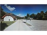
From the Ljubljana - Jesenice highway, take the Lipce exit, where you turn left (direction Blejska Dobrava and Spodnje Gorje). After 100 meters of driving, immediately after driving through the railway underpass, you find yourself at the next intersection, where you go left uphill to Blejska Dobrava (right Bled, Gorje). When the road soon flattens, drive straight through the village, following the signs for Vintgar and the cemetery. After approx. 1 km, you reach the railway tunnel. On its other side, where the road splits, turn right, and after a few hundred meters of additional driving, you arrive at a large parking lot located near the cemetery.
Route description:
From the parking lot, continue on foot in the same direction, straight past the cemetery and the buildings next to it on our right. Soon after stepping onto the macadam road, it turns right and starts to descend slightly. The road soon brings us into a mixed forest, where it continues slightly descending through turns. Then, when it flattens and straightens, it brings us near the Radovna River and quickly to the bridge, where we cross the river. On the other side, go right uphill (left hydropower plant), and arrive at a parking lot at the end of which we notice concrete stairs. Climb them to the log cabin (in season a buffet and ticket sales for viewing the gorge), behind which on the bridge we can also view the Šum waterfall from top to bottom passing the beam. From the log cabin, continue up the stairs on the far left in the direction marked "Katarina Bled". The path past a smaller abandoned house quickly brings us into the forest and first moderately ascends for a short time. Soon after it flattens, at the junction choose left, and a little later cross a small stream. Quite quickly we are again at a "crossroad", where we turn perpendicularly right (straight Sv. Katarina) along the cart track, which in the forest turns slightly left. When we soon encounter a sharp right side branch of the cart track, head onto it and continue north. The cart track, holding right, crosses the stream in the forest and brings us to a somewhat more open part of the forest, where there is a junction. Here continue along the left cart track, which then ascends more steeply. When it flattens, the path turns left and continues slightly ascending for a short time. After the flatter section, the path turns left again and brings us to the next junction on the open part of the forest. Here turn perpendicularly right onto the cart track (left forest road from the direction of Sv. Katarina, slightly left and slightly right "dead-end" cart tracks on the slope). Then, after the next open section brings us back into the forest, the cart track narrows into a trail during moderate ascent. This soon brings us to a small saddle, where there is an unmarked junction. Here leave the wider path and turn left onto the slope of Hom (straight: destroyed and dangerous path above the gorge, right: path downhill that gets lost). When the path brings us across the clearing, enter the forest and ascend quite steeply up the slope towards the summit. Although the path occasionally disappears in this section, it is not difficult to follow the indicated direction. When we reach the summit, the path turns slightly right and flattens for a short time, then takes us through a narrow strip of woodland. Behind it follows the last moderate ascent along the edge of the north-western slope to the summit of Hom. Here we encounter a large wooden cross, and a box with the summit logbook and summit stamp.

Photos:
 1
1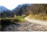 2
2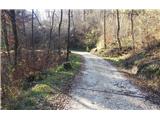 3
3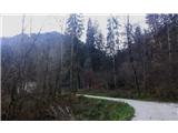 4
4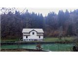 5
5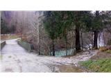 6
6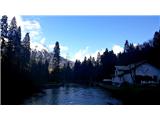 7
7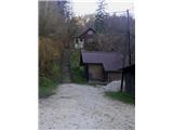 8
8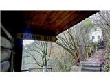 9
9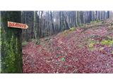 10
10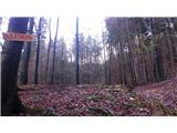 11
11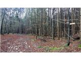 12
12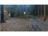 13
13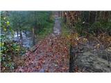 14
14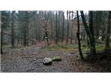 15
15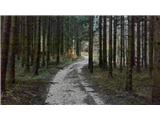 16
16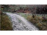 17
17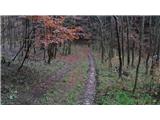 18
18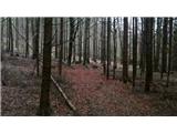 19
19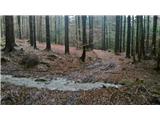 20
20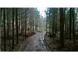 21
21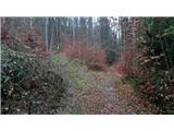 22
22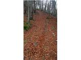 23
23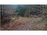 24
24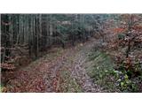 25
25 26
26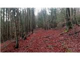 27
27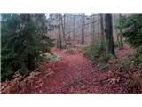 28
28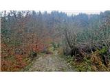 29
29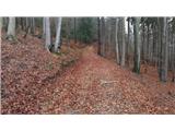 30
30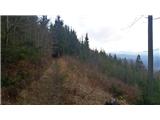 31
31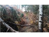 32
32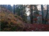 33
33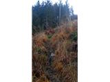 34
34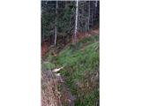 35
35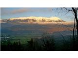 36
36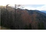 37
37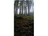 38
38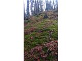 39
39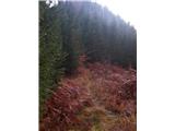 40
40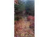 41
41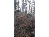 42
42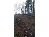 43
43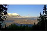 44
44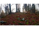 45
45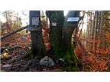 46
46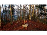 47
47
Discussion about the trip Blejska Dobrava (pokopališče) - Hom at Bled (on east slope)
|
| navdušena15. 08. 2015 |
We absolutely couldn't find this path. We headed straight to Sv. Katarina and to the top. Nice, but the clearings are quite overgrown. Good it wasn't wet!
|
|
|
To post a comment you must log in:
If you do not yet have a username, you must first
register.