Bogojina - Vršič above Bogojina
Starting point: Bogojina (185 m)
| Latitude/Longitude: | 46,67800°N 16,27550°E |
| |
Walking time: 20 min
Difficulty: easy marked way
Elevation gain: 61 m
Elevation difference along the route: 61 m
Map:
Recommended equipment (summer):
Recommended equipment (winter):
Views: 5.679
 | 2 people like this post |
Access to starting point:
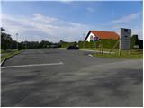
From the Pomurska highway we go to the exit Gančani and follow the road ahead in the direction of Moravske Toplice. After a few km of additional driving, the road brings us to a somewhat larger intersection in Bogojina. Here we continue straight (left Moravske Toplice, right Lendava) and a somewhat narrower road quickly brings us to the center of the village. We continue driving through the village, following the signs for Plečnik's church. Only a little before the mentioned church we will come to a smaller triangular intersection, where we continue left towards the cemetery (straight Plečnik's church). After a short further drive we arrive at the mentioned cemetery, in front of which we park on a well-maintained parking lot.
Route description:
From the parking lot by the cemetery, we continue on the asphalt road, which gently ascends along the right side of the cemetery. After a short ascent, we will come to a smaller intersection, where we continue on the left marked road (right St. Urban). The road then loses the asphalt surface and a little further brings us to the next intersection. This time we continue right (direction "Štefanov pohod") and continue the ascent on a quite poor road, which past vineyards brings us to a hamlet of individual houses (mainly vineyard cottages). Here in front of us we already notice a lookout tower, to which only a few dozen steps of easy walking remain.
Photos:
 1
1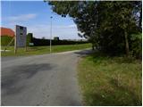 2
2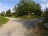 3
3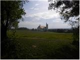 4
4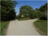 5
5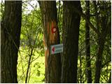 6
6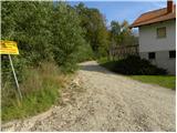 7
7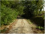 8
8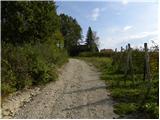 9
9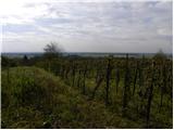 10
10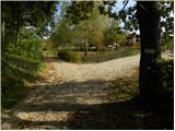 11
11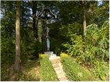 12
12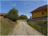 13
13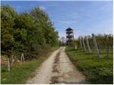 14
14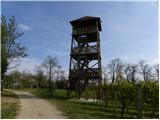 15
15 16
16
Discussion about the trip Bogojina - Vršič above Bogojina
To post a comment you must log in:
If you do not yet have a username, you must first
register.