Bohinjska Bela - Planina za Jamo
Starting point: Bohinjska Bela (550 m)
| Latitude/Longitude: | 46,33300°N 14,05840°E |
| |
Walking time: 1 h 30 min
Difficulty: easy marked way
Elevation gain: 455 m
Elevation difference along the route: 455 m
Map: TNP 1:50.000
Recommended equipment (summer):
Recommended equipment (winter):
Views: 6.460
 | 2 people like this post |
Access to starting point:
From the Ljubljana-Jesenice highway we head to the Lesce exit and follow the road towards Bled and then towards Bohinjska Bistrica. 1 km after Bled we come to the crossroads, where we turn right towards Bohinjska Bela. Further, we drive through the village to the railway station near which a road in the direction of Galetovca branches off to the right uphill. We follow this road to a crossroads, where we notice the hiking signposts and beside them a smaller parking lot.
Route description:
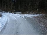
From the parking lot, we continue on the left road in the direction of Galetovca. Soon after a longer right turn a poorly marked cart track branches off to the left upwards. We continue the ascent on the cart track, which occasionally ascends quite steeply. The path ahead crosses a poor forest road, then we again join the road which we left. We follow the road to the left, which soon brings us to the right turn, in the middle of which we continue the ascent on a footpath. The path ahead crosses a forest road a few more times, then over a pasture fence brings us to the Planina za Jamo.
Photos:
 1
1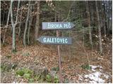 2
2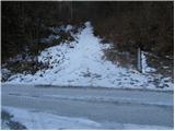 3
3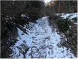 4
4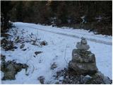 5
5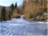 6
6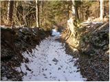 7
7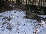 8
8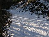 9
9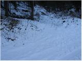 10
10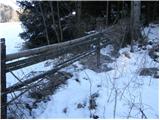 11
11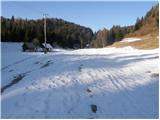 12
12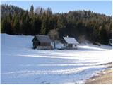 13
13
Discussion about the trip Bohinjska Bela - Planina za Jamo
To post a comment you must log in:
If you do not yet have a username, you must first
register.