Bohinjska Bela (sv. Marjeta) - Berjanca
Starting point: Bohinjska Bela (sv. Marjeta) (468 m)
| Latitude/Longitude: | 46,34990°N 14,06950°E |
| |
Walking time: 2 h 55 min
Difficulty: easy marked way
Elevation gain: 796 m
Elevation difference along the route: 825 m
Map: TNP 1:50.000
Recommended equipment (summer):
Recommended equipment (winter): ice axe, crampons
Views: 834
 | 1 person like this post |
Access to starting point:
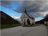
From the road Bled - Bohinjska Bistrica we drive in the direction of Bohinjska Bela, where we park on a parking lot near the parish church of St. Marjeta.
Route description:
From the parking lot, we continue on the asphalt road which starts lightly ascending through the settlement. The road soon entirely flattens and past the post office and Mercator store brings us to a crossroad, where we continue slightly right in the direction of apartments Pr Klemuc. After a small pond, we go right in the direction of Mline peči, Slamnikov and Galetovca (slightly left Iglica and Široka peč) and we start ascending on a cart track, by which we are accompanied by signs of a learning trail. At the smaller crossing, we go slightly left and we diagonally ascend to a smaller saddle, where a short path branches off to the right to panoramic Mline peči, and we continue slightly left in the direction of Galetovca and Slamnikov. Next follows an easy ascent, where we go past the playground, and at the playground, we turn a little to the right. When a little further, Godrnjavčeva pot turns right, we continue straight, past the storage of logs into the forest. Through the forest, we continue straight, on this part we notice a lonely blaze, and then we step onto an asphalt road, on which we ascend to a marked crossing.
From the crossing, we continue slightly right in the direction of Kavca and we continue on a cart track which is mostly moderately ascending. The cart track soon narrows into a hiking path, which turns a little to the right and crosses the stream, and further we follow the signs for Rčitno. When we step out of the forest we arrive at Kavca, where we continue right and past a bigger storage of logs we arrive in the forest, where we continue walking on a cart track. Higher the cart track temporarily steeply ascends, and then at the feed site widens into a worse road, on which in a few minutes we reach a wider macadam road which we follow to the left towards Rčitno.
Further, the road passes into a small valley below Strešno brdo, and when we leave the small valley we pass onto the slopes of Gač, from where temporarily a little view opens up on the surrounding hills. The path ahead temporarily returns into the forest, when we leave it we already reach Rčitno, where there are a few cottages.
In the middle of the bottom part of the mountain pasture, we continue left in the direction of Bohinjska Bela and on the road which soon changes into a cart track, in a moderate ascent we ascend to the upper south edge of the mountain pasture, where we continue right (straight Bohinjska Bela) past the cottage into the forest. In the forest, we quickly notice signs for Pokljuka, and we diagonally ascend to a forest road which we follow to the right (left we can arrive at Galetovec). On the road, we temporarily descend a little and then signs and blazes direct us left onto a path, which diagonally ascends over a somewhat steeper slope. Higher, we reach a cart track, and we ascend on it through a small valley, where we quickly arrive at a crossing next to a small cottage. Behind the cottage we continue right and the marked path brings us to the Forestry Cottage Mali Vokel, which is located at an altitude of 1145 m.
We bypass the forestry cottage on the right side, and then blazes lead us into the forest, through which we steeply ascend. A few minutes higher we cross a macadam road, and we continue straight and likewise on the macadam road in some 10 steps we arrive at the hunting cottage.
We bypass the hunting cottage on the left side and we continue walking on a worse road. When the road turns a little to the right, we continue straight onto a marked cart track, and further we follow the blazes and ascend to the former ski slope Zatrnik, where we continue right and on easier pathless terrain in one minute of further walking we ascend to the nearby summit, which is located a few meters above the abandoned structures.
Bohinjska Bela - Rčitno 1:45, Rčitno - Forestry cottage Mali Vokel 0:50. Forestry cottage Mali Vokel - Hunting cottage Mali Vokel 0:10. Hunting cottage Mali Vokel - Berjanca 0:10.
Description and pictures refer to the condition in 2019 (November).

Along the route: Kavca (685m), Planina Rčitno (900m), Gozdarska koča Mali Vokel (1145m), Lovska koča Mali Vokel (1193m)
Photos:
 1
1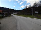 2
2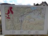 3
3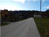 4
4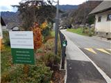 5
5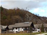 6
6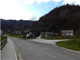 7
7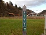 8
8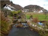 9
9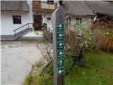 10
10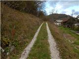 11
11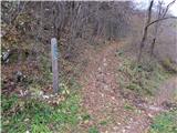 12
12 13
13 14
14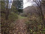 15
15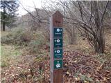 16
16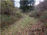 17
17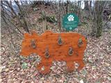 18
18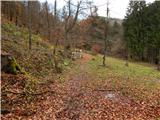 19
19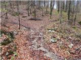 20
20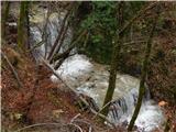 21
21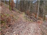 22
22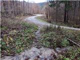 23
23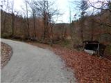 24
24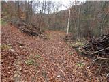 25
25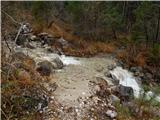 26
26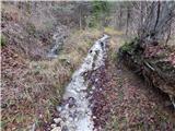 27
27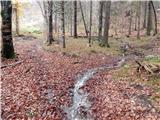 28
28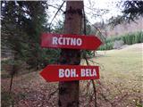 29
29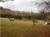 30
30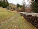 31
31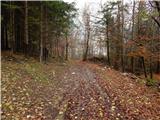 32
32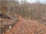 33
33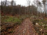 34
34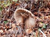 35
35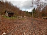 36
36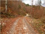 37
37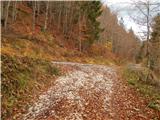 38
38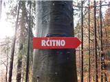 39
39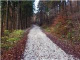 40
40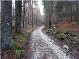 41
41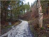 42
42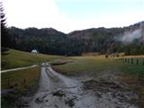 43
43 44
44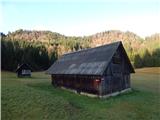 45
45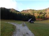 46
46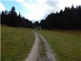 47
47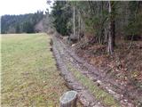 48
48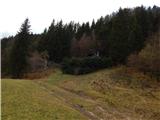 49
49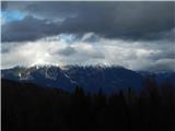 50
50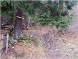 51
51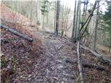 52
52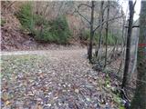 53
53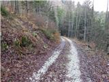 54
54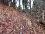 55
55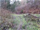 56
56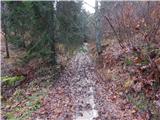 57
57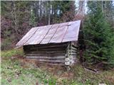 58
58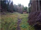 59
59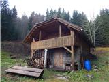 60
60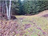 61
61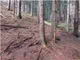 62
62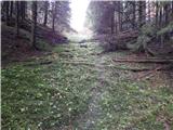 63
63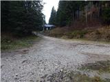 64
64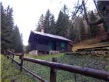 65
65 66
66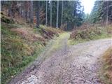 67
67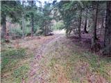 68
68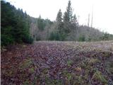 69
69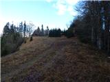 70
70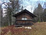 71
71 72
72 73
73 74
74 75
75
Discussion about the trip Bohinjska Bela (sv. Marjeta) - Berjanca
To post a comment you must log in:
If you do not yet have a username, you must first
register.