Bohinjsko sedlo - Gladki vrh (Ratitovec)
Starting point: Bohinjsko sedlo (1277 m)
| Latitude/Longitude: | 46,24090°N 14,01010°E |
| |
Walking time: 3 h 35 min
Difficulty: easy marked way
Elevation gain: 390 m
Elevation difference along the route: 625 m
Map: Škofjeloško in Cerkljansko hribovje 1:50.000
Recommended equipment (summer):
Recommended equipment (winter): ice axe, crampons
Views: 4.279
 | 1 person like this post |
Access to starting point:
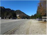
A) From the highway Ljubljana - Jesenice, we take the Lesce exit and follow the road towards Bled and further towards Bohinjska Bistrica. From Bohinjska Bistrica, we continue left in the direction of Tolmin and Soriška planina. We follow this road to a large parking lot near the ski center Soriška planina.
B) From Železniki, we drive towards Podbrdo or vice versa, but only to the spot where signs for Soriška planina direct us onto an ascending road. We follow this road to a large parking lot at the foot of the ski area Soriška planina.
Route description:
From the parking lot below the ski center Soriška planina, we continue on the asphalt road towards Železniki and Podbrdo. Soon, i.e. after approximately 50 m, we will notice signs for Ratitovec on the left side of the road, which direct us onto a marked footpath; this first descends along a cart track, then turns left and changes into a slightly harder-to-follow pathlet. The path ahead leads us across a larger grassy clearing, behind which it crosses a strip of forest, then brings us to another clearing, where we step onto a wide cart track. We follow the cart track to the right and walk along it to the nearby road, which we reach right on the lower part of a short asphalt section. When we step onto the road, we first ascend, then gradually start descending towards the saddle Mišji grund, where we join the path from Soriška peč.
From here, we continue left on an initially steep cart track in the direction of Ratitovec, which gradually changes into a slightly less steep footpath. Higher up, the path flattens even more and bypasses a somewhat larger watering place for animals on the right side. From here on, the forest becomes sparser, so increasingly beautiful views of Porezen, Blegoš, and other surrounding peaks begin to open up from the path. The path ahead ascends transversely for a while, then transitions to a more extensive grassy slope, where we step onto a smaller indistinct saddle.
Here, a "path" branches off to the left to the nearby Žbajnek, which is less than 5 minutes' walk away; we continue straight on the marked path, which turns slightly left and then ascends to a smaller ridge.
When we step onto the ridge, we notice the inscription "žig", which leads to the nearby Kačji rob (1 minute); we continue slightly right on the marked path, which descends to the nearby mountain pasture Zgornji Jirn.
Here, we continue straight past two shepherd huts (one is not visible from the path) and ascend a moderately steep grassy slope. Soon the path flattens and turns somewhat to the right, where it begins to descend somewhat more steeply. The path ahead leads past a smaller watering place, after which we quickly arrive at a somewhat larger valley, which we merely cross. On the other side of the valley, the path begins to ascend steeply through the forest, then gradually flattens and brings us to the expansive pastures of Ratitovec. Across the scenic grazing areas, we quickly reach the summit of Kremant, which we recognize by the stamp on a metal pole, and from it we gradually descend to a marked junction, where the path from Zgornje Danje joins.
Here, we continue straight and follow the path, which several times rises slightly and descends again, to a marked junction, where the path to Altemaver branches off to the right. Here we can continue right over the summit or left on the path that bypasses the summit. On the other side of the summit, the paths join again, then we begin descending towards the watering place for animals, located on a smaller saddle below Gladki vrh. From the saddle, only a short gentle ascent remains, and the path quickly brings us past the winter bivouac to the Krekova koča mountain hut on Ratitovec.
From the hut, we continue left on a somewhat steeper path in the direction of Gladki vrh. We follow this increasingly panoramic path all the way to Gladki vrh, which we reach after 5 minutes of further walking.

Photos:
 1
1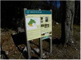 2
2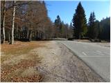 3
3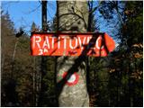 4
4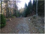 5
5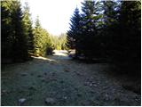 6
6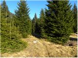 7
7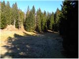 8
8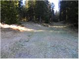 9
9 10
10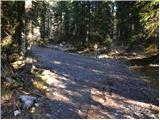 11
11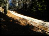 12
12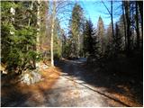 13
13 14
14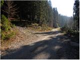 15
15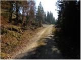 16
16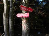 17
17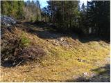 18
18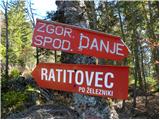 19
19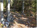 20
20 21
21 22
22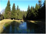 23
23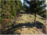 24
24 25
25 26
26 27
27 28
28 29
29 30
30 31
31 32
32 33
33 34
34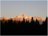 35
35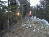 36
36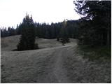 37
37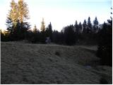 38
38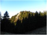 39
39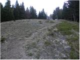 40
40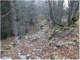 41
41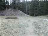 42
42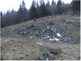 43
43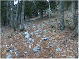 44
44 45
45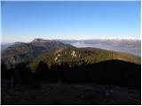 46
46 47
47 48
48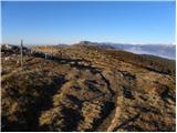 49
49 50
50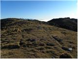 51
51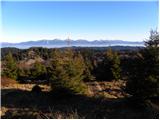 52
52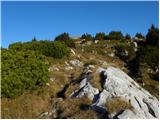 53
53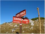 54
54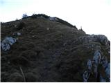 55
55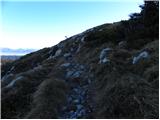 56
56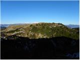 57
57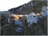 58
58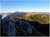 59
59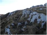 60
60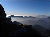 61
61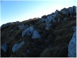 62
62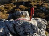 63
63 64
64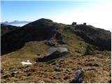 65
65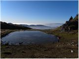 66
66 67
67 68
68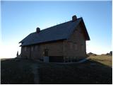 69
69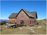 70
70 71
71 72
72 73
73 74
74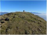 75
75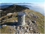 76
76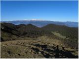 77
77
Discussion about the trip Bohinjsko sedlo - Gladki vrh (Ratitovec)
To post a comment you must log in:
If you do not yet have a username, you must first
register.