Starting point: Bohinjsko sedlo (1277 m)
| Latitude/Longitude: | 46,24090°N 14,01000°E |
| |
Walking time: 1 h 30 min
Difficulty: easy marked way
Elevation gain: 297 m
Elevation difference along the route: 465 m
Map: Škofjeloško in Cerkljansko hribovje 1:50.000
Recommended equipment (summer):
Recommended equipment (winter): ice axe, crampons
Views: 9.737
 | 2 people like this post |
Access to starting point:
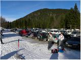
From the highway Ljubljana - Jesenice, we take the exit Lesce and follow the road towards Bled and then towards Bohinjska Bistrica. From Bohinjska Bistrica, we continue left in the direction of Tolmin and Soriška planina. We follow this road to a large parking lot near the ski center Soriška planina.
From Železniki, we drive towards Podbrdo or vice versa, but only to the spot where signs for Soriška planina direct us onto an ascending road. We follow this road to a large parking lot at the foot of the ski area Soriška planina.
Route description:
From the parking lot on Bohinjsko sedlo, we head onto the macadam road in the direction of the mountain hut Litostrojska koča on Soriška planina. After less than 5 minutes of a gentle ascent, we arrive at the mentioned mountain hut, from which a view opens up onto the nearby grassy slopes of the surrounding peaks.
From the hut, we continue on the marked path in the direction of Šavnik, Možic, and Lajnar. After a few dozen steps, we reach a less noticeable junction, where the path to Možic branches off slightly to the right (sign on a tree, straight ahead to Lajnar). We take the mentioned path, which continues gently ascending along the edge of the grassy slopes of Soriška planina. A little higher, the marked path turns right and begins to ascend more steeply through a belt of sparse forest and shrubbery. The path soon leaves the forest and leads us to a small valley, along the edge of which we then climb to an old military barracks (barracks converted into a sheepfold, next to which there is a smaller shepherd's hut).
From the barracks, passing a small chapel, we climb to an indistinct ridge, where the path from Lajnar joins from the left. We continue straight downhill (left along the grassy ridge to the summit of Slatnik, 5 minutes) along the path that begins to descend toward a smaller saddle, where the next junction is.
We continue left downhill (slightly right to Možic, 10 minutes) along the path that first descends gently, then more and more steeply. After 15 minutes of descent through the forest, the path brings us into a grassy valley, where we continue left toward the hunting observation post. Near the hunting observation post is a junction, where we head slightly right in the direction of Šavnik (left to Vrh Bače, sharply right to the mountain pasture behind Šavnik) onto the path that enters a belt of forest and ascends somewhat more steeply. Once we emerge from the forest, a shorter ascent follows along a wide and increasingly panoramic ridge, which we follow to the summit.

Photos:
 1
1 2
2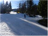 3
3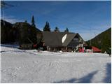 4
4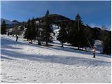 5
5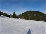 6
6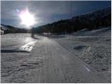 7
7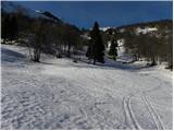 8
8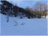 9
9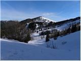 10
10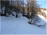 11
11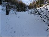 12
12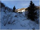 13
13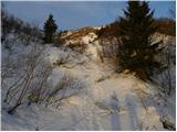 14
14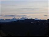 15
15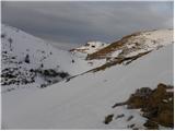 16
16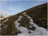 17
17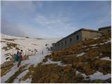 18
18 19
19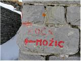 20
20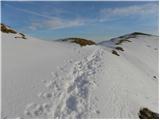 21
21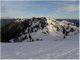 22
22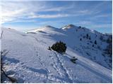 23
23 24
24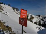 25
25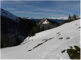 26
26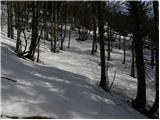 27
27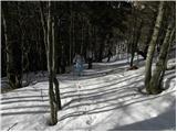 28
28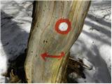 29
29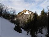 30
30 31
31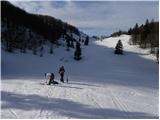 32
32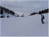 33
33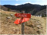 34
34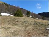 35
35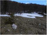 36
36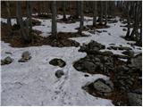 37
37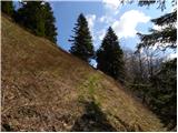 38
38 39
39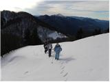 40
40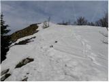 41
41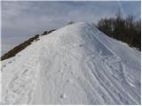 42
42 43
43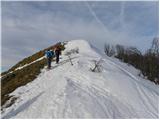 44
44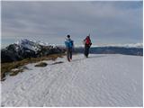 45
45 46
46 47
47
Discussion about the trip Bohinjsko sedlo - Šavnik
|
| vencelj117. 01. 2011 |
Nice trip to one of the lesser-known peaks.
Šavnik and the other four peaks (Možic, Slatnik, Lajnar and Dravh) are also part of (1st stage) Ratitovec Circuit ( http://www.pd-zelezniki.com/ ).
I hiked the peaks on December 30 last year, partially (Slatnik) also January 13 late afternoon.
LP
|
|
|
To post a comment you must log in:
If you do not yet have a username, you must first
register.