Bohinjsko sedlo - Šavnik (by Lajnar)
Starting point: Bohinjsko sedlo (1277 m)
| Latitude/Longitude: | 46,24090°N 14,01000°E |
| |
Route name: by Lajnar
Walking time: 2 h
Difficulty: easy marked way
Elevation gain: 297 m
Elevation difference along the route: 460 m
Map: Škofjeloško in Cerkljansko hribovje 1:50.000
Recommended equipment (summer):
Recommended equipment (winter): ice axe, crampons
Views: 14.070
 | 3 people like this post |
Access to starting point:
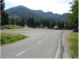
From the highway Ljubljana - Jesenice, take the Lesce exit and follow the road towards Bled and further towards Bohinjska Bistrica. From Bohinjska Bistrica, continue left in the direction of Tolmin and Soriška planina. Follow this road to a large parking lot near the ski center Soriška planina.
From Železniki, drive towards Podbrdo or vice versa, but only to the spot where signs for Soriška planina direct us onto an ascending road. Follow this road to a large parking lot at the foot of the ski area Soriška planina.
Route description:
From the parking lot, head onto the macadam road which in five minutes brings us to the mountain hut on Soriška planina.
From the mountain hut, continue below the ski lift, where a marked path runs. The path then through meadows in 25 minutes brings us to the ridge where there is a fence and a junction. Continue right (left Lajnar) on the path which splits into two parts. Further, you can continue on the "south path", which is marked, or on the "north path", which is not marked. The paths, which each bypass Mali Slatnik (1600m) on their own side, unite after 10 minutes and then turn slightly to the right. The path ahead in a semicircle encircles a slightly larger sinkhole and then brings us to an old military barracks, next to which we also notice a smaller chapel.
Continue towards the west and the path already after a few steps brings us to an indistinct but panoramic ridge. Further, the path descends slightly and in a few minutes brings us to a junction.
Continue left downhill (slightly right Možic 10 minutes) on the path which first descends gently, then more and more steeply. After 15 minutes of descent through the forest, the path brings us into a grassy valley, where we continue left towards the hunting observatory. Near the hunting observatory there is a junction, where we head slightly right in the direction of Šavnik (left Vrh Bače, sharply right mountain pasture Planina za Šavnikom) on the path which enters a belt of forest and ascends somewhat more steeply. When we emerge from the forest, a shorter ascent follows on a wide and increasingly panoramic ridge, which we follow to the top.

Along the route: Mali Slatnik (1600m)
Photos:
 1
1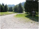 2
2 3
3 4
4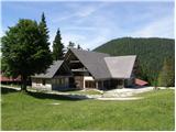 5
5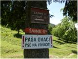 6
6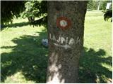 7
7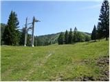 8
8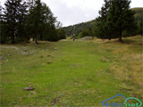 9
9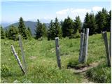 10
10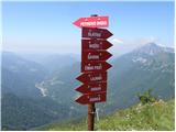 11
11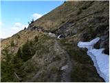 12
12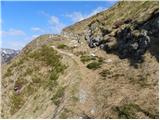 13
13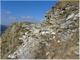 14
14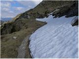 15
15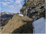 16
16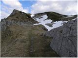 17
17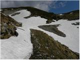 18
18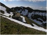 19
19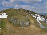 20
20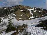 21
21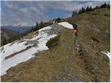 22
22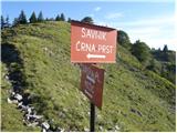 23
23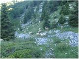 24
24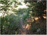 25
25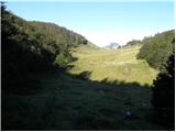 26
26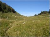 27
27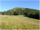 28
28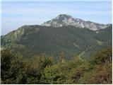 29
29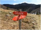 30
30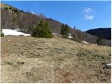 31
31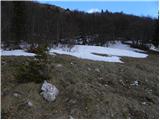 32
32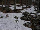 33
33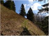 34
34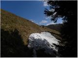 35
35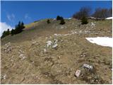 36
36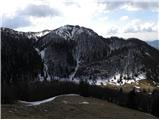 37
37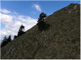 38
38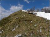 39
39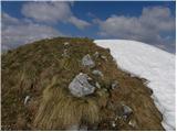 40
40 41
41 42
42
Discussion about the trip Bohinjsko sedlo - Šavnik (by Lajnar)
To post a comment you must log in:
If you do not yet have a username, you must first
register.