Bohinjsko sedlo - Slatnik (southeastern peak) (past barracks)
Starting point: Bohinjsko sedlo (1277 m)
| Latitude/Longitude: | 46,24090°N 14,01010°E |
| |
Route name: past barracks
Walking time: 1 h 10 min
Difficulty: easy marked way
Elevation gain: 320 m
Elevation difference along the route: 330 m
Map: Škofjeloško in Cerkljansko hribovje 1:50.000
Recommended equipment (summer):
Recommended equipment (winter): ice axe, crampons
Views: 2.040
 | 1 person like this post |
Access to starting point:
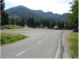
A) From the highway Ljubljana - Jesenice we go to the exit Lesce and follow the road towards Bled and then towards Bohinjska Bistrica. From Bohinjska Bistrica we continue left in the direction of Tolmin and Soriška planina. We follow this road to a large parking lot near the ski center Soriška planina.
B) From Železniki we drive towards Podbrdo or vice versa, but only to the spot where signs for Soriška planina direct us onto an ascending road. We follow this road to a large parking lot at the foot of the ski area Soriška planina.
Route description:
From the parking lot, we continue towards the west on a gentle macadam road in the direction of the mountain hut Litostrojska koča on Soriška planina. Further on, the road moderately ascends and quickly brings us to the mentioned mountain hut.
From the mountain hut, we continue straight on the marked path in the direction of Lajnar, Možic and Šavnik. The path first ascends for some time parallel to the ski lift, then splits into two parts. We continue on the right path, by which we notice the sign Možic (straight Lajnar), which gradually begins to ascend more steeply. Higher up, we cross a belt of low forest, then gradually arrive in a smaller valley. From the small valley we head slightly to the right, then along the path that ascends diagonally across the grassy slope, in a few minutes we walk to the old Italian barracks.
From the barracks we moderately ascend along the right side of the nearby chapel carved into the stone, then, when we reach a wider path, we continue left (slightly left Slatnik northwestern peak, straight Šavnik, Možic and Črna prst) and diagonally descend to the saddle between both peaks of Slatnik.
Here we continue slightly left on an unmarked path (the right marked path bypasses the peak on the right side), along which in a few minutes of further walking we reach the southeastern peak of Slatnik, on which there is a stamp and from which a nice view opens up onto the surrounding hills.

Photos:
 1
1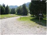 2
2 3
3 4
4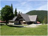 5
5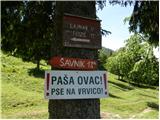 6
6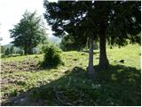 7
7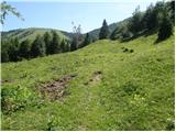 8
8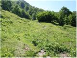 9
9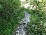 10
10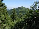 11
11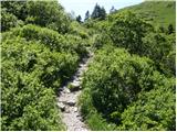 12
12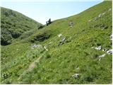 13
13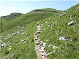 14
14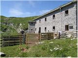 15
15 16
16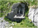 17
17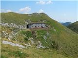 18
18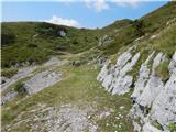 19
19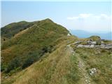 20
20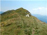 21
21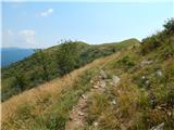 22
22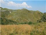 23
23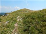 24
24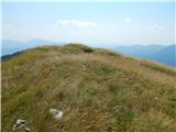 25
25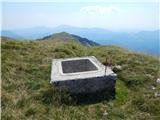 26
26 27
27
Discussion about the trip Bohinjsko sedlo - Slatnik (southeastern peak) (past barracks)
To post a comment you must log in:
If you do not yet have a username, you must first
register.