Borovnica - Mali Trebelnik
Starting point: Borovnica (350 m)
| Latitude/Longitude: | 45,90920°N 14,36680°E |
| |
Walking time: 1 h 30 min
Difficulty: easy unmarked way
Elevation gain: 457 m
Elevation difference along the route: 470 m
Map: Ljubljana - okolica 1:50.000
Recommended equipment (summer):
Recommended equipment (winter):
Views: 11.726
 | 1 person like this post |
Access to starting point:
From the Ljubljana - Koper motorway we turn onto the Vrhnika exit and continue on the road in the direction of Bistra and Borovnica. At the intersection in Borovnica we continue right towards Pekel (left Podpeč) and follow the road for a few more 100 m, then continue right on the ascending road towards Pokojišče. Above the village of Borovnica the road loses its asphalt surface, but we follow it a little further, then park at one of the parking lots along the road.
Route description:
Note: The path from Borovnica to Mali Trebelnik is no longer officially registered as a marked mountain path (removed from the maPZS system).
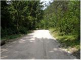
From the starting point we continue along the road where we parked, which after about one hour of walking, mostly through forest, brings us to the village of Pokojišče. At the intersection in Pokojišče we continue straight towards Vrhnika (left Cerknica) on the road that leads us past the hunting lodge Pokojišče to the next intersection, where we continue sharply right into the village of Zavrh. The road then leads us past a children's playground and a little further on splits into two parts.
We continue on the right road, as also indicated by the markings. Higher up (at the last house) the road turns into a cart track, which in a moderate ascent leads us across a scenic grassy slope. The cart track soon levels out, turns left and after a short descent brings us to the upper part of the village, where at the intersection we continue sharply right. A short ascent follows, then the markings direct us left onto a cart track that starts in the courtyard of houses. We take the mentioned cart track, which leads us across the courtyard (watch out for dogs!) onto a spacious grassy slope. Further on we ascend on a less visible but, due to pasture fences, orientationally undemanding cart track, which after a few more minutes of ascent brings us to the indistinct summit of Mali Trebelnik.
From the summit we can continue a little further (approx. 50 to 100 m) to the paragliding launch site, from which a beautiful view of the Ljubljana Marsh opens up.

Along the route: Pokojišče (732m), Zavrh (760m)
Photos:
 1
1 2
2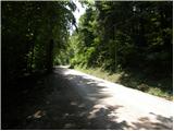 3
3 4
4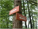 5
5 6
6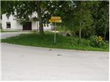 7
7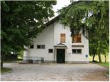 8
8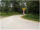 9
9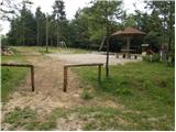 10
10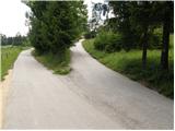 11
11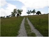 12
12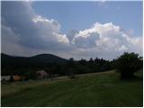 13
13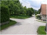 14
14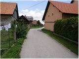 15
15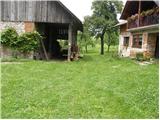 16
16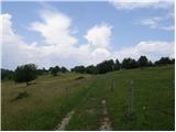 17
17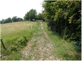 18
18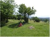 19
19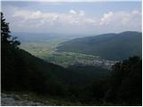 20
20
Discussion about the trip Borovnica - Mali Trebelnik
|
| grega_p8. 02. 2010 |
The dog mentioned in the description only barks and doesn't bite, unless you have some goodies in your backpack:-). Best to ignore it - proven.
Nice hike also in winter, at this time the snow is nicely wind-packed and frozen, and in places the crust bears weight.
|
|
|
To post a comment you must log in:
If you do not yet have a username, you must first
register.