Braslovško jezero - Bezovec (Dobrovlje) (via Covnikov križ)
Starting point: Braslovško jezero (300 m)
| Latitude/Longitude: | 46,29460°N 15,03040°E |
| |
Route name: via Covnikov križ
Walking time: 1 h 30 min
Difficulty: easy marked way
Elevation gain: 557 m
Elevation difference along the route: 575 m
Map: Kamniške in Savinjske Alpe 1:50.000
Recommended equipment (summer):
Recommended equipment (winter):
Views: 3.712
 | 1 person like this post |
Access to starting point:
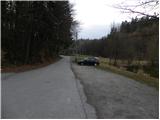
From the Ljubljana - Maribor highway, take the Šentrupert exit, then continue driving in the direction of Mozirje and Logarska Dolina. At the settlement Parižlje, leave the main road and continue driving left in the direction of Braslovče. When you get to Braslovče, more precisely in the center of the settlement near the church, at the crossroad continue slightly left in the direction of Lake Braslovško jezero. Further, drive on a somewhat narrower road, on which you quickly get to the parking lot at the already mentioned lake.
Route description:
From the parking lot, we first walk to the nearby inn Jezero, then continue on the marked path, which bypasses Lake Braslovško jezero on the right side. On the other side of the lake, we continue for a short time across the meadow, then arrive at a road, which we follow to the left. Soon we approach a residential house, in front of which we turn left, then immediately after crossing a smaller stream continue right onto a cart track. The cart track first continues through the forest, then brings us to meadows, where it begins to disappear. At the end of the meadow, we first continue a few steps to the left, then notice a cart track that turns sharply to the right. We continue along the mentioned cart track, which quickly ascends to the nearby macadam road, which we follow to the right. The path ahead slightly descends and joins another road. We continue in the same direction and gently ascend to the nearby farm. On the other side of the farm, the path first slightly ascends, then turns right onto a cart track, along which we cross the slopes to the right. After a few minutes of crossing, we reach an asphalt road, which we soon leave as the blazes direct us to a footpath that ascends through the forest. Higher up, we cross the road once again, then, when we step onto it again, we walk along it to the place where the path from Letuš joins. Here we leave the road and continue the ascent along a ladder that helps with the steep ascent, then continue the ascent through the forest. The path ahead leads past a bench, after which we are soon back on the road. We follow the road to the left, walking only a few meters along it, then continue right onto a footpath, which soon crosses the road again. The path next leads us across a shorter, partly overgrown clearing, from which a view of Bezovec opens up. Higher, we continue along the road for a few minutes, then ascend via a marked shortcut to Covnikov križ.
Here we continue straight past a smaller shelter (right Čreta and Dom na Dobrovljah) and ascend through the meadow to the edge of the forest. Here we cross a grazing fence, then through the forest in 15 minutes of further walking ascend to the summit of Bezovec.

Photos:
 1
1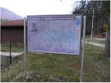 2
2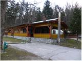 3
3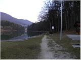 4
4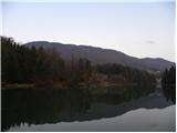 5
5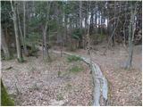 6
6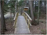 7
7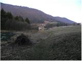 8
8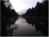 9
9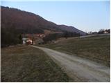 10
10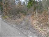 11
11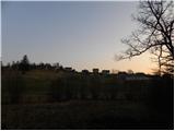 12
12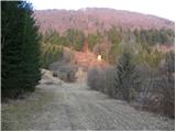 13
13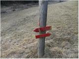 14
14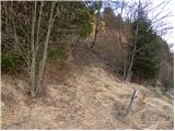 15
15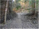 16
16 17
17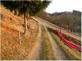 18
18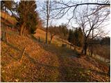 19
19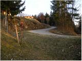 20
20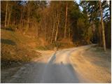 21
21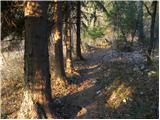 22
22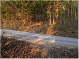 23
23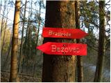 24
24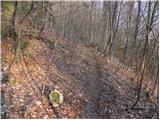 25
25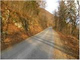 26
26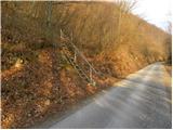 27
27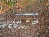 28
28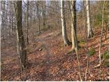 29
29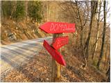 30
30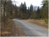 31
31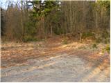 32
32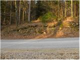 33
33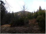 34
34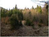 35
35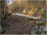 36
36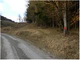 37
37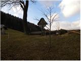 38
38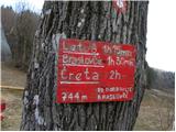 39
39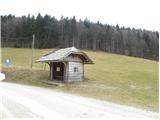 40
40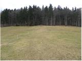 41
41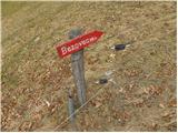 42
42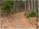 43
43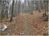 44
44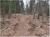 45
45 46
46 47
47
Discussion about the trip Braslovško jezero - Bezovec (Dobrovlje) (via Covnikov križ)
To post a comment you must log in:
If you do not yet have a username, you must first
register.