Brezje - Bazilika Marije Pomagaj na Brezjah (Brezjanska pot miru)
Starting point: Brezje (486 m)
| Latitude/Longitude: | 46,32840°N 14,23070°E |
| |
Route name: Brezjanska pot miru
Walking time: 2 h 15 min
Difficulty: easy marked way
Elevation gain: 0 m
Elevation difference along the route: 90 m
Map: Karavanke - osrednji del 1:50.000
Recommended equipment (summer):
Recommended equipment (winter):
Views: 9.040
 | 3 people like this post |
Access to starting point:
We leave the Gorenjska highway at the Brezje exit, then follow the signs for the basilica of Mary Help at Brezje. We park on the large parking lot in front of the basilica.
Route description:
By the parking lot we notice information boards with outlines of tourist paths in the area of the municipality of Radovljica, among others also markings for Brezjanska pot miru, which is marked with No. 10.
The mentioned path starts next to the Brezje pilgrimage office, where signs for Brezjanska pot miru direct us onto a narrower road, which we follow at the crossroads to the nearby cemetery. Before the cemetery we go right, then at the nearby crossroads left onto a cart track (crossroads are well marked with path of peace signs). There follows an easy walk among fields and meadows, from where a nice view opens up to the Julian Alps and part of the Kamnik-Savinja Alps and Karawanks. When we step into the forest, the path brings us to a pleasant resting place, after which the path descends to the stream Peračica.
We continue along the stream, which we cross several times over a footbridge, and occasionally the path also distances itself a little from the stream. There follow a few forks, where we follow the signs for Brezjanska pot miru, and the path past Vovkova smreka and over Ruthin's bridge quickly brings us to the waterfall Peračica, near which there is a stamping box.
Behind the stamping box we ascend the stairs above the waterfall, then over a footbridge we cross the stream Peračica. There follows a short somewhat steeper ascent, partly also on stairs, then we reach the macadam road, which we follow to the right (left Dvorska vas). From the road soon a shortened part of Brezjanska pot miru branches off to the right, which after a short descent returns to the path in the direction of access to the waterfall, and we follow the road with some shorter ascents and descents to its end. When the road ends we follow the signs for the settlement Peračica, and the path for some time leads on a cart track, then, when the forest ends, we step on a macadam road, along it to one of the houses in the settlement Peračica, where we also reach an asphalt road.
We follow the road to the right, past a chapel and some information boards, all the way to the basilica of Mary Help at Brezje, where we started and end the path.
Brezje - Peračica Waterfall 50 minutes, Peračica Waterfall - Peračica 45 minutes, Peračica - Brezje 40 minutes.
Description and pictures refer to the condition in 2017 (January).

Photos:
 1
1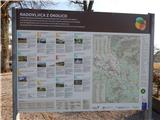 2
2 3
3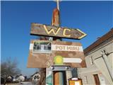 4
4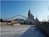 5
5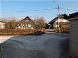 6
6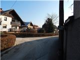 7
7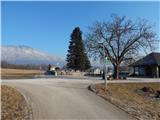 8
8 9
9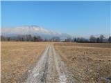 10
10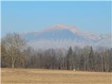 11
11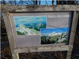 12
12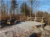 13
13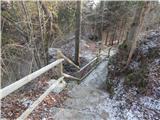 14
14 15
15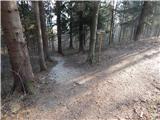 16
16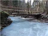 17
17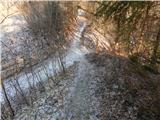 18
18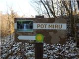 19
19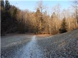 20
20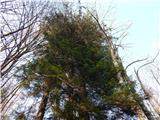 21
21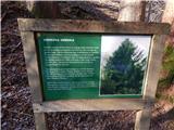 22
22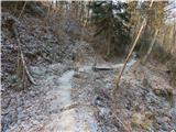 23
23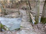 24
24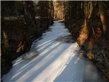 25
25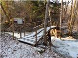 26
26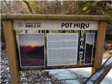 27
27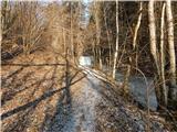 28
28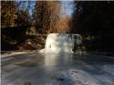 29
29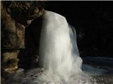 30
30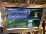 31
31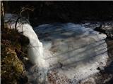 32
32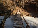 33
33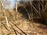 34
34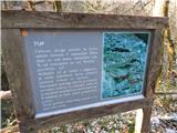 35
35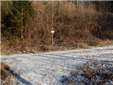 36
36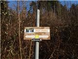 37
37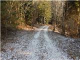 38
38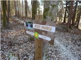 39
39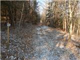 40
40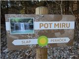 41
41 42
42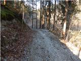 43
43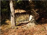 44
44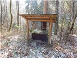 45
45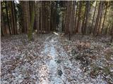 46
46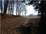 47
47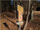 48
48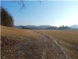 49
49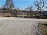 50
50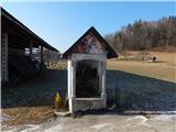 51
51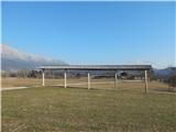 52
52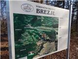 53
53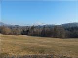 54
54 55
55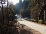 56
56 57
57 58
58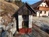 59
59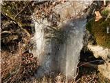 60
60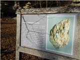 61
61 62
62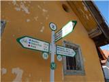 63
63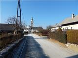 64
64 65
65
Discussion about the trip Brezje - Bazilika Marije Pomagaj na Brezjah (Brezjanska pot miru)
To post a comment you must log in:
If you do not yet have a username, you must first
register.