Brezje - Bazilika Marije Pomagaj na Brezjah (Rožnovenska pot)
Starting point: Brezje (486 m)
| Latitude/Longitude: | 46,32840°N 14,23070°E |
| |
Route name: Rožnovenska pot
Walking time: 3 h 30 min
Difficulty: easy marked way
Elevation gain: 0 m
Elevation difference along the route: 225 m
Map: Karavanke - osrednji del 1:50.000
Recommended equipment (summer):
Recommended equipment (winter):
Views: 2.940
 | 2 people like this post |
Access to starting point:
We leave the Gorenjska motorway at the Brezje exit and then follow the signs for the basilica of Mary Help at Brezje. We park on the large parking lot in front of the basilica.
Route description:
From the basilica of Mary Help at Brezje we continue on the road in the direction of the settlement Peračica. Through the settlement we follow the signs for Brezje and Rožnovenska pot, and at the end of the settlement the road starts to descend more steeply to the bridge over the stream Peračica. On the other side of the bridge there follows a short ascent, then we leave the road leading towards the settlement Peračica and continue right with the path in the direction of Rožnovenska pot. We walk along the road for approximately another 10 minutes, then the signs for Kovor direct us right onto the path that continues along the right bank of the stream Strašnik. A little further we also cross the mentioned stream over a footbridge, then we begin to ascend through the forest, and at the junctions we still follow the signs for Kovor and Rožnovenska pot. Higher up the path levels out and leads us out of the forest, from where a nice view opens up on the surrounding mountains. A little further we reach the village Hudo, where at the chapel we continue left in the direction of Brezje and Hušice. This is followed by walking along a gently sloping asphalt road, which we follow to the farm Matiček in the village Brezje pri Tržiču, where we are approximately halfway along the path.
At the farm we continue left towards the settlements Popovo and Vadiče, at the next intersection we go right towards Vadiče. Further on the road starts to descend more noticeably, and from the path a nice view opens up on the Julian Alps with Triglav. Lower down we reach the village Vadiče, a little further on Leše, where at the intersection we go left (right to Paloviče). A little further the asphalt temporarily ends, then with frequent nice views we reach the settlement Peračica, where the Brezjanska pot miru joins us from the right.
We continue straight ahead, and at the end of the settlement we arrive at an intersection where we join the section of the path where we have already walked. From here there is only the return to the starting point and the endpoint of the path at the basilica of Mary Help at Brezje.
Rožnovenska pot is 12.2 km long.
Description and pictures refer to the condition in 2017 (May).

Along the route: Hudo (573m), Brezje pri Tržiču (615m), Vadiče (527m), Leše (495m), Peračica (457m)
Photos:
 1
1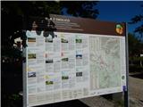 2
2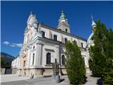 3
3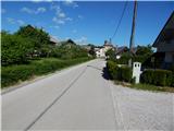 4
4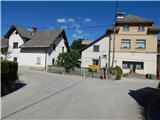 5
5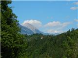 6
6 7
7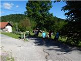 8
8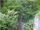 9
9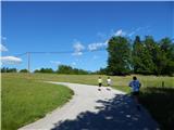 10
10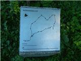 11
11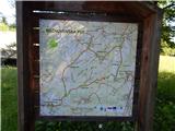 12
12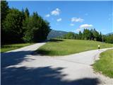 13
13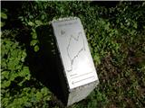 14
14 15
15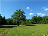 16
16 17
17 18
18 19
19 20
20 21
21 22
22 23
23 24
24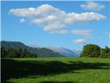 25
25 26
26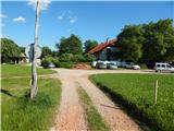 27
27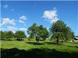 28
28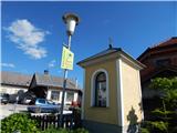 29
29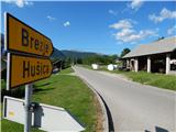 30
30 31
31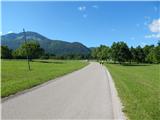 32
32 33
33 34
34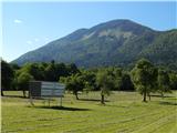 35
35 36
36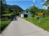 37
37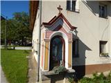 38
38 39
39 40
40 41
41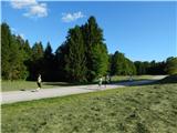 42
42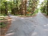 43
43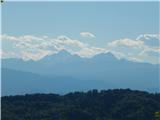 44
44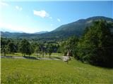 45
45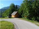 46
46 47
47 48
48 49
49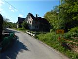 50
50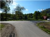 51
51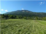 52
52 53
53 54
54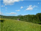 55
55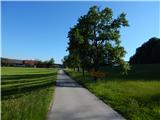 56
56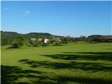 57
57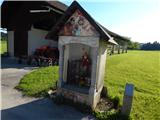 58
58 59
59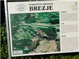 60
60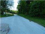 61
61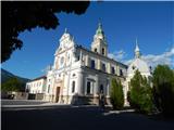 62
62
Discussion about the trip Brezje - Bazilika Marije Pomagaj na Brezjah (Rožnovenska pot)
To post a comment you must log in:
If you do not yet have a username, you must first
register.