Brezje pri Tržiču - Koča na Dobrči (by road)
Starting point: Brezje pri Tržiču (677 m)
| Latitude/Longitude: | 46,35890°N 14,27870°E |
| |
Route name: by road
Walking time: 2 h 45 min
Difficulty: easy marked way
Elevation gain: 801 m
Elevation difference along the route: 835 m
Map: Karavanke - osrednji del 1:50.000
Recommended equipment (summer):
Recommended equipment (winter): ice axe, crampons
Views: 5.894
 | 1 person like this post |
Access to starting point:
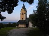
From the Ljubljana–Jesenice highway, take the Ljubelj exit and follow the road ahead towards Tržič. Just before the gas station at Tržič, turn right (direction Tržič) and then immediately left (direction Begunje) and drive on to the village Brezje pri Tržiču, where we park at a suitable spot near the church.
Route description:
From the church of St. Neža we continue along the road towards Begunje for another 10 steps or so, then the signs for Dobrča direct us right onto a somewhat narrower road, along which we quickly reach a marked junction, where we continue right in the direction of Lešanska and Bistriška planina (left the usual footpath to Dobrča). We continue for a few minutes along the relatively steep asphalt road, then we arrive at the scree slope where the asphalt ends. At the spot where the asphalt ends there is a nice viewpoint, from which a beautiful view opens towards Kriška gora and part of Gorenjska. Beyond the viewpoint the road enters the forest, then it ascends gently to moderately all the way to Bistriška planina, which is located a bit to the right of the road.
From Bistriška planina we continue along the road, which ascends through the forest, then brings us to Breška planina, where there is a hunting hut.
We continue along the road, which returns to the forest, and it gradually begins to ascend more steeply. Higher up we reach a marked junction, where a marked footpath from Brezje pri Tržiču joins from the left, and we continue sharply right along the gradually steeper cart track. This is followed by about 20 minutes of walking along the mentioned cart track, then the path brings us out of the forest onto the lower part of Lešanska planina. We continue uphill across the mountain pasture, where we soon reach the shepherd hut on the mentioned mountain pasture.
From the shepherd hut on Lešanska planina we continue left and traverse across to the other side of the mountain pasture, where the path enters the forest. We walk for some time along the trail, which continues without major changes in elevation, then we arrive at a marked junction, where the path from Brezje pri Tržiču joins from the left, the path towards the summit of Dobrča branches off to the right, and we continue straight in the direction of Koča na Dobrči. This is followed by a short descent and crossing of a cart track, then a few more minutes of walking through the forest. When the forest ends we step onto the edge of the panoramic Podgorska planina, from where we descend into a small valley, and from there in one minute of further walking we ascend to Koča na Dobrči.

Photos:
 1
1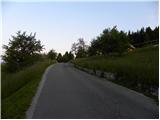 2
2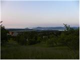 3
3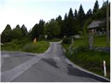 4
4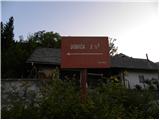 5
5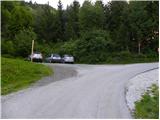 6
6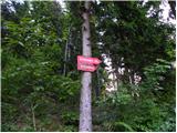 7
7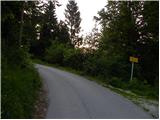 8
8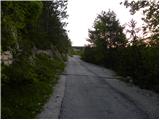 9
9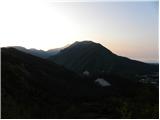 10
10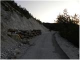 11
11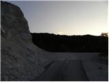 12
12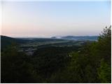 13
13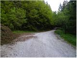 14
14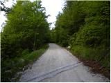 15
15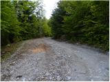 16
16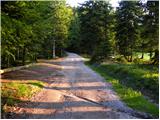 17
17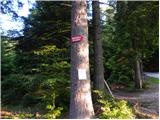 18
18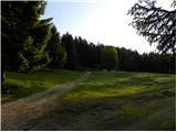 19
19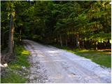 20
20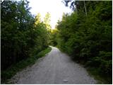 21
21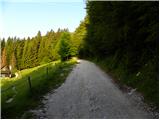 22
22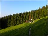 23
23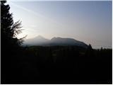 24
24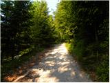 25
25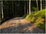 26
26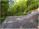 27
27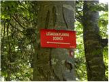 28
28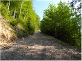 29
29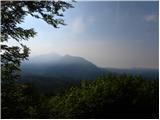 30
30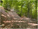 31
31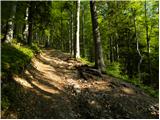 32
32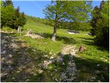 33
33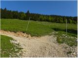 34
34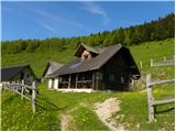 35
35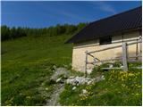 36
36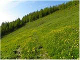 37
37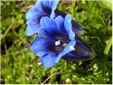 38
38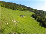 39
39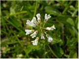 40
40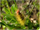 41
41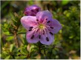 42
42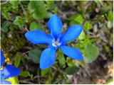 43
43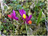 44
44 45
45 46
46 47
47 48
48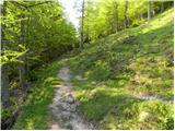 49
49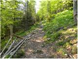 50
50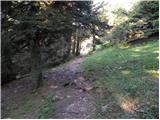 51
51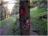 52
52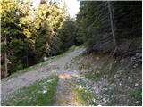 53
53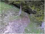 54
54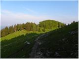 55
55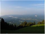 56
56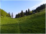 57
57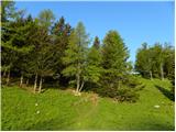 58
58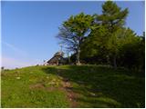 59
59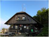 60
60
Discussion about the trip Brezje pri Tržiču - Koča na Dobrči (by road)
To post a comment you must log in:
If you do not yet have a username, you must first
register.