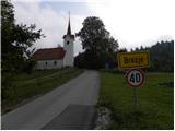
Starting point: Brezje (640 m)
| Latitude/Longitude: | 45,80930°N 14,38220°E |
| |
Walking time: 2 h 15 min
Difficulty: easy marked way
Elevation gain: 474 m
Elevation difference along the route: 474 m
Map: Snežnik 1:50.000
Recommended equipment (summer):
Recommended equipment (winter):
Views: 18.540
 | 6 people like this post |
Access to starting point:
From the Ljubljana - Koper highway, take the Unec exit and follow the road ahead in the direction of Cerknica. Just a few hundred meters before Cerknica, we will come to a crossroad, where the road towards Begunje and Slivnica branches off to the left. We turn onto the mentioned road, which we follow to the village Begunje pri Cerknici. Here, at the church of St. Andrew, we will come to a crossroad, where we continue right in the direction of the village Brezje. Further ahead, we cross the river Cerkniščica, and the road then starts moderately ascending and only a little further brings us to a crossroad right next to the village Brezje. We continue sharply left and after a few meters of additional driving we arrive at the church of St. George at Brezje. In the village, there are no appropriate parking spots, so it is better to park already a little lower on one of the parking spaces by the road.
Route description:
From the church of St. George we walk through the village, then continue the ascent on a narrower macadam road which barely ascends noticeably. After a few minutes of easy walking, the signs for Slivnica direct us right onto an occasionally overgrown cart track which then crosses a forest road. After crossing the road, the path returns into the forest and then already after a few steps brings us to a wider road which leads to Slivnica. We follow the mentioned road to the left, and it leads past the Kačasta smreka (natural feature along the path). A little further, the marked path cuts the right bend and returns to the road right at the left bend. Here there is also a smaller junction, and we continue on the wider macadam road, which we then follow for quite some time. After a few km of gentle ascent we come to a marked junction, where we continue sharply right in the direction of the hut on Slivnica (left hunting lodge). The road, which then gradually transitions from the forest onto partly grassy slopes, brings us higher to a junction, where we continue on the left upper road (right hut on Slivnica 100 m). We follow the mentioned road to its end, then continue the ascent left on a marked footpath which through a belt of raspberry bushes in a few minutes of additional walking brings us to the 1114 m high peak.

Photos:
 1
1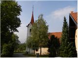 2
2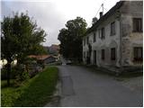 3
3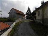 4
4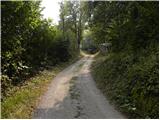 5
5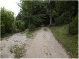 6
6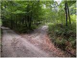 7
7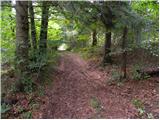 8
8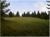 9
9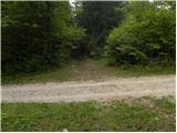 10
10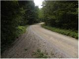 11
11 12
12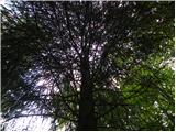 13
13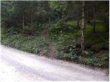 14
14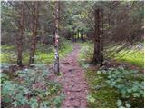 15
15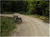 16
16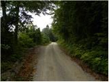 17
17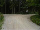 18
18 19
19 20
20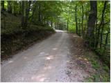 21
21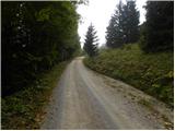 22
22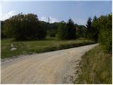 23
23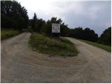 24
24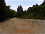 25
25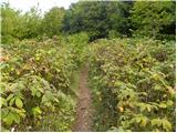 26
26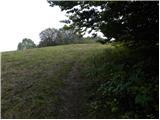 27
27 28
28
Discussion about the trip Brezje - Slivnica
|
| VanSims4. 05. 2020 |
The description is incomplete in the upper part, the trail does not run only along the road by far, unless it has been rerouted in the meantime.
|
|
|
To post a comment you must log in:
If you do not yet have a username, you must first
register.