Brezovica - Partisan cyclostyle Tehnika Meta
Starting point: Brezovica (440 m)
| Latitude/Longitude: | 46,30500°N 14,20790°E |
| |
Walking time: 2 h
Difficulty: easy unmarked way, easy marked way
Elevation gain: 660 m
Elevation difference along the route: 680 m
Map: Škofjeloško in Cerkljansko hribovje 1:50.000
Recommended equipment (summer):
Recommended equipment (winter): ice axe, crampons
Views: 359
 | 1 person like this post |
Access to starting point:
A) We leave the Ljubljana–Jesenice highway at the Naklo exit, or we can also leave it at the Podtabor junction, then follow the signs for Podbrezje, Podnart and Kropa. After crossing the railway track in Podnart we continue left and drive towards Kropa. When on the left we notice the factory of the company Iskra Mehanizmi d.o.o., we are already near the starting point. Behind the company the road branches off to the left towards the village Brezovica, we park a little further on the parking lot on the right side of the road.
B) From the Jesenice–Ljubljana highway we head to the Lesce or Radovljica exit, then continue driving in the direction of Radovljica and later the villages Lancovo, Lipnica, Kamna Gorica and Kropa, into which we do not drive. We continue towards Podnart, then park just a little further from the intersection on the parking lot on the left side of the road, opposite the company Iskra Mehanizmi.
C) We drive to Železniki, then continue driving towards Kropa. Behind Kropa, opposite the company Iskra Mehanizmi, we park on the parking lot on the left side of the road.
Route description:
From the place where we parked, we walk to the intersection where the road splits towards Kropa and Kamna Gorica. At the intersection, by the road sign 0.0 km, we will notice a footpath that ascends through the forest. Along the footpath we quickly ascend to a cart track, which we follow to the left, from it still before we step out of the forest onto a larger meadow we continue slightly right onto a beaten footpath, which first ascends transversely, and when it reaches a smaller ridge turns right. Further on we moderately ascend through the forest for some time, higher a path joins us from the left that leads from the center of the village Brezovica.
We continue on the ascending path, which bypasses Kugla (peak with converters) on the left side, then lightly descends to a marked junction, where from the left an unmarked path from Češnjica pri Kropi joins us, from the right a marked path from Kropa.
We continue towards Jamnik, the path leads us along a forested ridge, after a short ascent we reach the indistinct peak Berigle. Higher the path from the ridge gradually passes to the slope and splits.
To the left a path branches off towards Jamnik, we go a few steps ahead to the left on the marked junction, from which we continue on a steep path in the direction of Vodiška planina. A few minutes of steep ascent follow, then we cross an asphalt road.
On the other side of the road we continue on a marked cart track, from it we soon go right onto a footpath, which after a few minutes returns to the cart track. Some ascent on the cart track follows, where we make some hairpin turns, then the cart track narrows into a mountain path. During the further ascent some views towards Jamnik open up transiently, behind a smaller sign the path widens into a cart track, which brings us to a junction where from the left the path from Jamnik joins.
We follow the signs for Vodice and quickly arrive at a junction where to the left a path branches off to the Tehnika Meta.
Here we leave the path towards Vodiška planina and continue slightly left onto a path that past a storage facility in about 5 minutes of further walking brings us to the Partizanska tehnika Meta.

Along the route: Kugla (626m), Berigla (685m)
Photos:
 1
1 2
2 3
3 4
4 5
5 6
6 7
7 8
8 9
9 10
10 11
11 12
12 13
13 14
14 15
15 16
16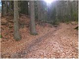 17
17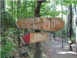 18
18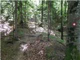 19
19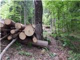 20
20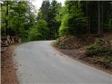 21
21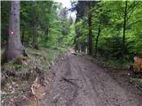 22
22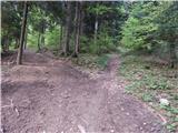 23
23 24
24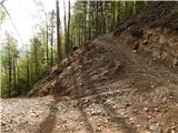 25
25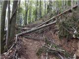 26
26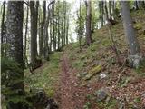 27
27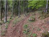 28
28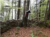 29
29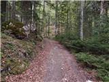 30
30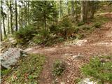 31
31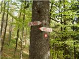 32
32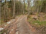 33
33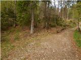 34
34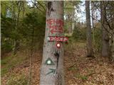 35
35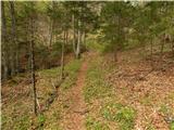 36
36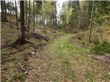 37
37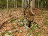 38
38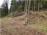 39
39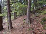 40
40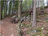 41
41
Discussion about the trip Brezovica - Partisan cyclostyle Tehnika Meta
To post a comment you must log in:
If you do not yet have a username, you must first
register.