Starting point: Briše (380 m)
| Latitude/Longitude: | 46,05420°N 14,29770°E |
| |
Walking time: 50 min
Difficulty: easy marked way
Elevation gain: 349 m
Elevation difference along the route: 349 m
Map: Ljubljana - okolica 1:50.000
Recommended equipment (summer):
Recommended equipment (winter):
Views: 7.782
 | 1 person like this post |
Access to starting point:
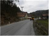
From Dobrova or Horjul we drive to Polhov Gradec, and there at the crossroads by the bus stop we continue slightly left in the direction of Gorenja vas. Further, we drive through the village Briše and a little further across the bridge over the river Mala voda. Here we need to pay attention, because after approximately 300 meters we will come to a smaller hamlet, where we will notice signs for Koreno on one of the houses.
At the starting point, there are no appropriate parking spots.
Route description:
From the main road, we turn left towards Koreno and start the path on the macadam road, which leads us through a small hamlet. Further, a worse macadam road leads us along the stream, then turns sharply right and ascends more steeply. Higher up, the road flattens somewhat and brings us past a lonely house, which we notice on the left side, to a smaller crossroads, where we continue straight on the marked footpath (that is, on the path between both roads). The path, which ascends somewhat more steeply, soon returns to the poor macadam road, along which we then ascend all the way to the open-door farm Pr'Lenart.
At the farm we continue right and ascend along the narrow asphalted road to the church of St. Mohor and Fortunat. Further, we continue past a cross on a panoramic grassy ridge, along which in a few dozen steps of further walking we ascend to the logbook box on the top of Koreno.
Photos:
 1
1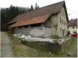 2
2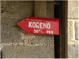 3
3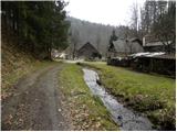 4
4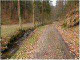 5
5 6
6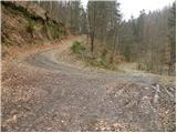 7
7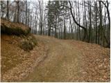 8
8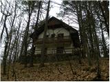 9
9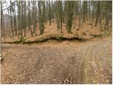 10
10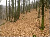 11
11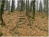 12
12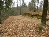 13
13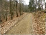 14
14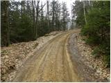 15
15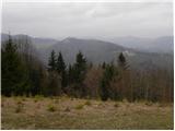 16
16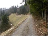 17
17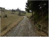 18
18 19
19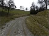 20
20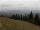 21
21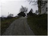 22
22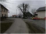 23
23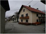 24
24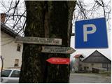 25
25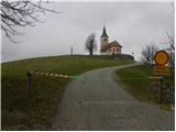 26
26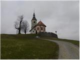 27
27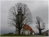 28
28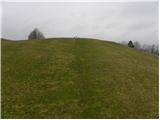 29
29 30
30 31
31
Discussion about the trip Briše - Koreno
To post a comment you must log in:
If you do not yet have a username, you must first
register.