Briše - Polhograjska Gora (Sveti Lovrenc) (gentle path)
Starting point: Briše (375 m)
| Latitude/Longitude: | 46,05420°N 14,30330°E |
| |
Route name: gentle path
Walking time: 1 h 35 min
Difficulty: easy marked way
Elevation gain: 449 m
Elevation difference along the route: 455 m
Map: Ljubljana - okolica 1:50.000
Recommended equipment (summer):
Recommended equipment (winter): crampons
Views: 9.912
 | 1 person like this post |
Access to starting point:
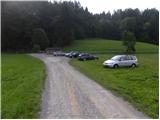
From Horjul or Dobrove we drive to Polhov Gradec, and then we continue driving towards Gorenja vas. Only a little after Polhov Gradec, at the end of the village Briše, we will notice beside the road the church of the Holy Three Kings and only a few meters before it signs for Terme Briše, which point us to the left on a macadam road which we then follow approximately 100 m to the parking lot in front of the natural swimming pool Terme Briše.
Route description:
From the parking lot, we return to the main road, and from there we continue right towards Polhov Gradec. After a few minutes of walking by the main road, we get to the bus station in Briše, here signs for Praproče and Polhograjska Gora point us to the left on an ascending asphalt road. We for some time continue on a narrow and ascending road, and then we get to a smaller hamlet, where from the right side joins the path from Polhov Gradec.
Only a few meters after the crossing, which many people miss, the asphalt road turns to the left and crosses a smaller ditch. On this spot, signs for sv. Lovrenc point us to the right on a cart track which starts ascending by the torrent gully. After a short ascent, at the smaller crossing, we continue left and we start ascending steeper on an occasionally a little more muddy cart track. Higher, the cart track makes a few hairpin turns, and then it joins the forest road from Praproče. When we reach the mentioned road, we continue right and we walk along it to the nearby crossroad, where from the left joins also the second road from Praproče.
Here we continue past the bench, behind which we quickly get to a ramp.
We continue in the direction of sv. Lovrenc (left upwards sv. Lovrenc "demanding path") on the road, over which there is a barrier. The road then starts ascending steeper and after a few minutes of additional walking brings us to a larger rocky section (mainly after the rain or at the end of the winter there is a danger of falling stones). Here the road for a short time flattens, and then passes into the forest, where it starts ascending steeply. The steepness decreases at Logarj, where the road also ends. Here a beautiful view opens up towards a part of the Karavanke, and we continue slightly left and continue the ascent past the chapel on the path which goes into the forest. Next follows a moderate ascent through the forest and the path brings us to the ridge, from which a nice view opens up towards the west. Here we continue left and after a few steps of additional walking, we step on the summit of Polhograjska Gora.

Photos:
 1
1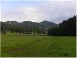 2
2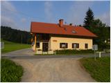 3
3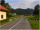 4
4 5
5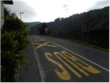 6
6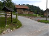 7
7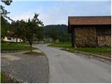 8
8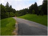 9
9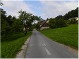 10
10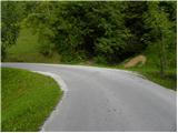 11
11 12
12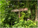 13
13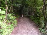 14
14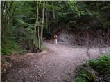 15
15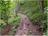 16
16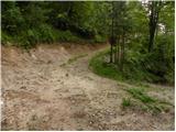 17
17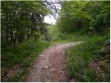 18
18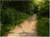 19
19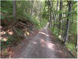 20
20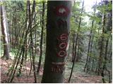 21
21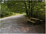 22
22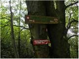 23
23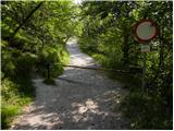 24
24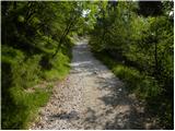 25
25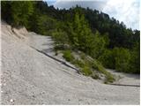 26
26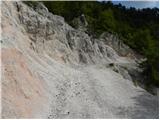 27
27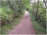 28
28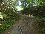 29
29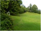 30
30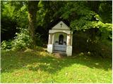 31
31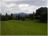 32
32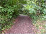 33
33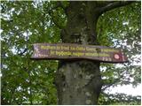 34
34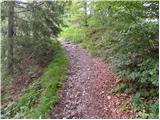 35
35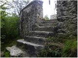 36
36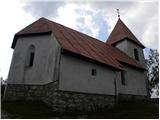 37
37 38
38 39
39
Discussion about the trip Briše - Polhograjska Gora (Sveti Lovrenc) (gentle path)
To post a comment you must log in:
If you do not yet have a username, you must first
register.