Bučan - Ferlacher Horn / Grlovec (over saddle Oselca)
Starting point: Bučan (1010 m)
| Latitude/Longitude: | 46,44630°N 14,25640°E |
| |
Route name: over saddle Oselca
Walking time: 5 h 20 min
Difficulty: easy unmarked way, easy marked way
Elevation gain: 830 m
Elevation difference along the route: 1000 m
Map: Karavanke 1:50.000 - osrednji del
Recommended equipment (summer):
Recommended equipment (winter): ice axe, crampons
Views: 463
 | 1 person like this post |
Access to starting point:
From the highway Ljubljana - Jesenice we take the exit Ljubelj (Tržič), then we continue driving in the direction of Celovec / Klagenfurt. After the Ljubelj tunnel the road starts descending, and on the Austrian side we follow it to the first left turn, where the old Ljubelj road branches off to the right. We park at a suitable place by the junction, or we can also park higher on the Austrian side of the former border crossing Ljubelj.
Route description:
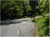
From the starting point, we continue on the macadam road, beside which we notice a sign that driving for public traffic is forbidden. Two successive zig-zags follow, then for some time we ascend diagonally to the right. Higher, another left zig-zag follows, and on the road leading towards Koča na Ljubelju we follow to the next right zig-zag, where we continue on the somewhat worse left road, across which there is a gate. The road on which we continue ascends for another 10 or so steps, then gradually starts to descend. After crossing the torrent stream we stop descending, and the road a little further brings us to the next crossroad, where we continue sharply right.
Above the crossroad, the road turns sharply left, then ascends with nice views on Palec and Rjavca. Higher, the road turns slightly right and brings us to a small saddle, where the described path Ljubelj - Žerjavov Praprotnik joins from the right.
We continue further on the road, diagonally descending towards the left along it. We bypass the nearby hunting cottage on the left side, then cross another torrent. Quite some walking on the road follows, which then gradually starts to ascend, and from it nice views open up several times on the surrounding mountains. Higher, at an altitude of approximately 1300 m, a road branches off to the right leading to the saddle north of Rjava peč, and we continue straight on the wider road. The road on which we continue soon splits again, and we once again continue on the lower left road (slightly right saddle Strgavica 1350 m and option of ascent to Žerjavov Praprotnik).
From the crossroad onwards, the road starts to descend more noticeably, crossing the south to southwest slopes of Žerjavov Praprotnik. When we approach the Ljubelj road, which we notice below us, the more noticeable descent ends, and the road shifts to the western to northwest slopes of the aforementioned summit. A little further on, the road splits again, and we continue on the upper right road, along which we ascend for some time, then the road gradually levels out. The road, from which nice views open up several times already from the beginning, then brings us to another crossroad, where we continue on the leftmost road, which descends slightly and leads past a barrier. A little further from the barrier, first a forest road joins from the right, a few steps further the road splits.
Once again we choose the left road, to which a marked path from the homestead Franc / Franzbauer joins just a few steps further, where on the right, on the saddle Oselca, we notice a chapel and beside it a bench for resting.
We continue on path 638, which continues along the road (path 639 only crosses the road and leads towards the homestead Urh / Urch). The road then ascends diagonally across the slopes of Koški Grintovec / Zeller Grintoutz (1368 m), and in the right bend a marked path from Dajčpeter / Ghf. Deutscher Peter also joins from the left.
At the mentioned junction we notice signs for Grlovec / Ferlacher Horn for the first time, and we walk along the road for a short time longer, then at a smaller torrent we continue slightly left onto the footpath, which continues beside the torrent. Higher, the path levels out and past the hunting observatory, which is slightly right of the path, brings us back to the forest road, which we reach at a small junction. We cross the road slightly to the right, then for a few minutes continue parallel to the road, which is above us. When we return to the road, we continue along it to an old clearing, where new spruces are already growing, and from there along the marked path, which continues parallel to the road, which this time is below us. When we arrive in the strip of forest, the path from homestead Franc also joins from the right, then we cross another clearing, from which a nice view opens towards the northern walls of Košuta. On the other side of the clearing the path enters the forest, then gradually starts to ascend steeply along the western ridge of Velika gora. From the ridge nice views open up several times further towards the north, where we see Borovlje / Ferlach and the surrounding mountains. The path continues along the ridge of Velika gora, where it ascends steeply several times, occasionally flattening completely. The path, which occasionally also runs above precipices (the path is mainly not exposed, as it runs a few steps right of the precipice), then brings us to the upper slopes of Grlovec, where we also step out of the forest. When we step out of the forest, we already see a large cross in front of us, to which only a few minutes of moderate ascent with nice views remain.

Along the route: Oselca / Eselsattel (1175m), Velika gora (1512m)
Photos:
 1
1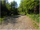 2
2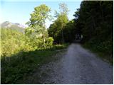 3
3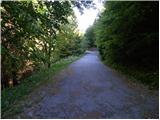 4
4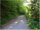 5
5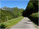 6
6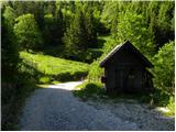 7
7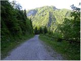 8
8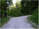 9
9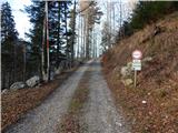 10
10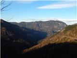 11
11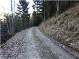 12
12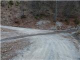 13
13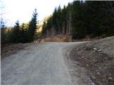 14
14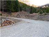 15
15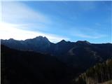 16
16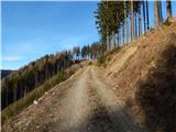 17
17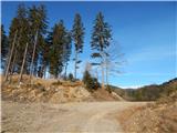 18
18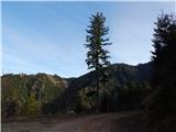 19
19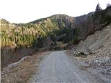 20
20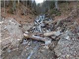 21
21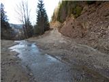 22
22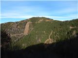 23
23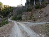 24
24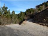 25
25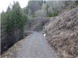 26
26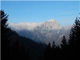 27
27 28
28 29
29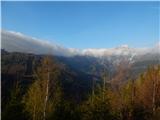 30
30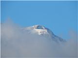 31
31 32
32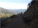 33
33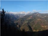 34
34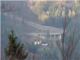 35
35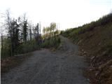 36
36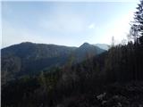 37
37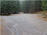 38
38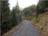 39
39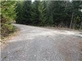 40
40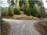 41
41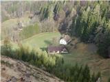 42
42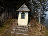 43
43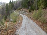 44
44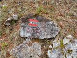 45
45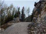 46
46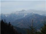 47
47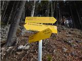 48
48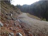 49
49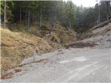 50
50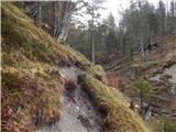 51
51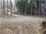 52
52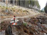 53
53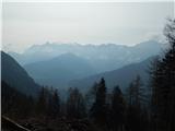 54
54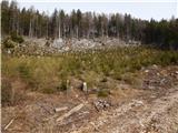 55
55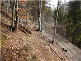 56
56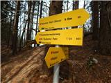 57
57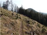 58
58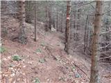 59
59 60
60 61
61 62
62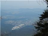 63
63 64
64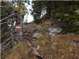 65
65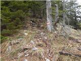 66
66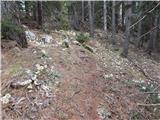 67
67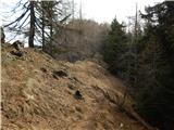 68
68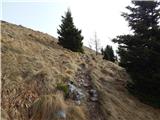 69
69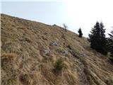 70
70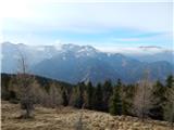 71
71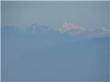 72
72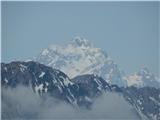 73
73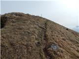 74
74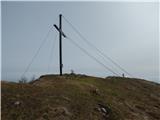 75
75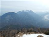 76
76 77
77
Discussion about the trip Bučan - Ferlacher Horn / Grlovec (over saddle Oselca)
To post a comment you must log in:
If you do not yet have a username, you must first
register.