Čadovlje pri Tržiču - RIS Dolina (Dovžanova soteska) (harder path)
Starting point: Čadovlje pri Tržiču (580 m)
| Latitude/Longitude: | 46,37950°N 14,32480°E |
| |
Route name: harder path
Walking time: 40 min
Difficulty: difficult marked way
Elevation gain: 140 m
Elevation difference along the route: 185 m
Map: Karavanke - osrednji del 1:50.000
Recommended equipment (summer): helmet
Recommended equipment (winter): helmet, ice axe, crampons
Views: 5.610
 | 2 people like this post |
Access to starting point:
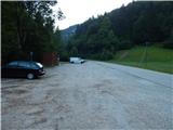
First, we drive to Tržič, and then we continue driving towards the gorge Dovžanova soteska. When Tržič ends, we quickly get to the settlement Čadovlje pri Tržiču, and a little ahead also to a large marked parking lot on the left side of the road.
Route description:
From the starting point, we return on the main road to the village, and there we continue right in the direction of the panoramic path. The path ahead leads us over a bridge over Tržiška Bistrica, and then the path at the homestead Jamenšnikova domačija and flax-retting shed Jamenšnikova paštba turns right into the forest. Through the forest, we follow the signs for panoramic or geological path. Further, the path runs on somewhat steeper slopes, and then descends to a marked crossing.
From the crossing, we continue straight in the direction of demanding Bencetova pot and a viewpoint (right - easier path). Next follows a relatively steep ascent to the viewpoint, and then a gradual descent, first on a fenced path, and then on a secured path, where with the help of steel cables and pegs we steeply descend, on one part vertically downwards. When the descent ends, we walk for a short time entirely by the riverbed of Tržiška Bistrica, and then through a small Born's tunnel we get to a marked crossing, where from the right the easier path joins.
We continue straight on a wide path, from which for some time a nice view opens up on Kušpergarjevi turni. The path ahead leads us past some homesteads, and then at the smaller crossroad we continue on the right road, on which we return to the asphalt road. When we reach the asphalt road, we continue left, and then a few minutes of moderate ascent follow, and we already get to a crossroad right next to RIS Dolina. Here we go right and after some 10 steps, we get to RIS Dolina, which is situated in the building of the former branch primary school.
Description and pictures refer to the condition in the year 2017 (August).

Photos:
 1
1 2
2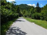 3
3 4
4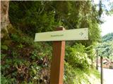 5
5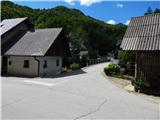 6
6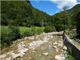 7
7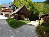 8
8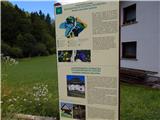 9
9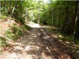 10
10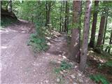 11
11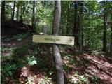 12
12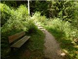 13
13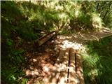 14
14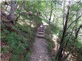 15
15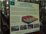 16
16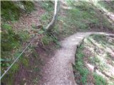 17
17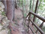 18
18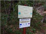 19
19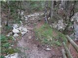 20
20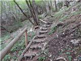 21
21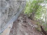 22
22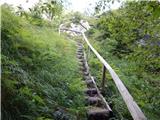 23
23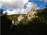 24
24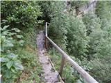 25
25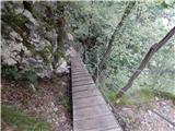 26
26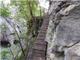 27
27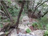 28
28 29
29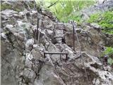 30
30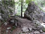 31
31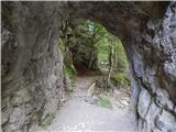 32
32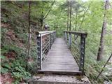 33
33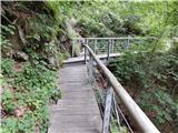 34
34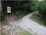 35
35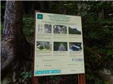 36
36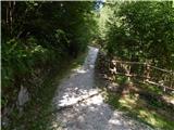 37
37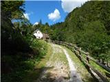 38
38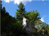 39
39 40
40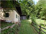 41
41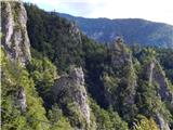 42
42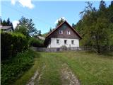 43
43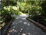 44
44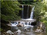 45
45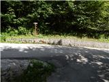 46
46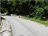 47
47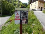 48
48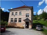 49
49
Discussion about the trip Čadovlje pri Tržiču - RIS Dolina (Dovžanova soteska) (harder path)
|
| 11122. 04. 2025 12:14:26 |
The path is very beautiful and picturesque, mostly shady and equipped with benches. However, due to the secured section over the vertical wall, it is by all criteria VERY difficult and not just difficult. Therefore the path is not for everyone, especially not for those afraid of heights and unfit, nor for children. The descent can be particularly dangerous, the ascent starts on brackets over a slightly overhanging wall. For the inexperienced, I recommend the less attractive road path.
|
|
|
To post a comment you must log in:
If you do not yet have a username, you must first
register.