Čatež - Bajturn (Zaplaški hrib) (on north slope)
Starting point: Čatež (454 m)
| Latitude/Longitude: | 45,96820°N 14,96610°E |
| |
Route name: on north slope
Walking time: 50 min
Difficulty: easy marked way
Elevation gain: 155 m
Elevation difference along the route: 185 m
Map:
Recommended equipment (summer):
Recommended equipment (winter):
Views: 1.470
 | 1 person like this post |
Access to starting point:
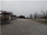
A) From the highway Ljubljana - Novo mesto we go to the exit Trebnje east, and then we continue driving in the direction of the settlement Velika Loka. After the settlement Zidani Most we get to the settlement Štefan pri Trebnjem, where we continue sharply left in the direction of Zaplaz. After a few kilometers of a partly winding road we get to Čatež, where the road to Zaplaz branches off to the left, and on the main road we descend a little and then park on a large parking lot between the Kulturni dom Čatež culture house and the fire station.
B) From Trebnje or Mokronog we drive to Mirna, and from there we drive towards Litija. Towards Litija we go to the sharp right turn, and from there we continue left in the direction of Cirnik and Selska Gora. After Cirnik the road gradually starts descending. When we descend to the river Mirna we first cross the bridge, and then at the crossroad we continue left. After the crossroad the road slowly starts ascending, and then it brings us to the settlement Čatež, where we park on a large parking lot near the Kulturni dom Čatež.
C) We drive to Šmartno pri Litiji, and from there we continue driving towards Gabrovka. After the settlement Moravče pri Gabrovki, after the transformer we turn slightly right in the direction towards the gas station. Further, we drive through the valley of the river Mirna. When after the turn-off for Gornje Ravne the road turns right, it leaves the river Mirna and starts ascending towards Čatež. When we get to Čatež we park on a larger parking lot between the fire station and Kulturni dom Čatež.
Route description:
From the parking lot, near which there is also the end of the Levstikova pot from Litija to Čatež, we first ascend to the parish church of St. Michael in Čatež, and from there behind the church we continue right and at the inn Gostilna Tončkov dom we return to the main road, which we reach at the marked crossroad. We continue the ascent on the main road which leads us past the bus stop and the tourist map, and after about 100 meters we continue right, on a steep road in the direction of Zaplaz. The road quickly flattens and turns left, where it brings us to the edge of the forest, where there is a marked junction.
From the junction we continue right towards Zagrič (still on the Zaplaz road), on a cart track which passes into the forest. Through the forest the path continues without major changes in altitude, and then it splits into two parts. At the poorly marked junction slightly to the left continues an ascending path which leads to Zaplaz, and we continue on the lower path, which continues without major changes in altitude. A little further we get to a marked junction "pri Panju", where to the left branches off the path to the chapel with healing water, and we continue straight in the direction of Bajturn.
We continue through the forest, on the path along which there is a large number of signs of the forest educational trail. In a few shorter ascents a little later we join another cart track, which we follow to the right (if we continued left we could reach Zaplaz). The forest path then after a few minutes of further walking brings us to a water reservoir, behind which we turn sharply left and then in a few minutes ascend to the summit of Bajturn.
Description and pictures refer to the condition in 2016 (March).

Photos:
 1
1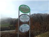 2
2 3
3 4
4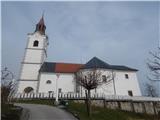 5
5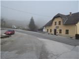 6
6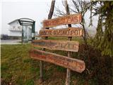 7
7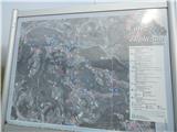 8
8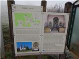 9
9 10
10 11
11 12
12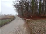 13
13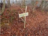 14
14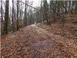 15
15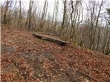 16
16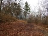 17
17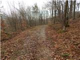 18
18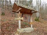 19
19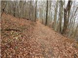 20
20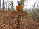 21
21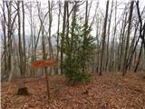 22
22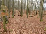 23
23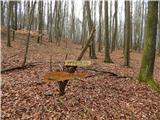 24
24 25
25 26
26 27
27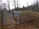 28
28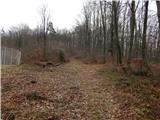 29
29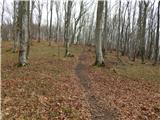 30
30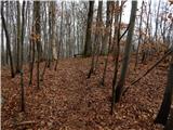 31
31 32
32
Discussion about the trip Čatež - Bajturn (Zaplaški hrib) (on north slope)
To post a comment you must log in:
If you do not yet have a username, you must first
register.