Čatež ob Savi - Veliki Cirnik
Starting point: Čatež ob Savi (170 m)
| Latitude/Longitude: | 45,89213°N 15,59830°E |
| |
Walking time: 2 h 15 min
Difficulty: easy marked way
Elevation gain: 453 m
Elevation difference along the route: 570 m
Map:
Recommended equipment (summer):
Recommended equipment (winter): crampons
Views: 26
 | 1 person like this post |
Access to starting point:
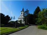
a) Leave the Dolenjska motorway at the Čatež ob Savi exit, then at the roundabout choose the exit for Čatež ob Savi and Brežice. Continue along the road running parallel to the motorway. When the main road turns right into the underpass, we turn left towards the centre of Čatež ob Savi (direction Cerklje ob Krki). Drive through the settlement, just before Gostilna Pension Les turn sharply right onto Rimska cesta. After a short ascent arrive at the church of St. George, where some parking spaces are available. Park here or continue approx. 100 metres to a larger car park at the end of the road, near the former Motel Čatež.
b) Drive to Brežice and follow signs for Čatež ob Savi. Immediately after the underpass below the motorway turn into the settlement centre. Before Gostilna Pension Les turn sharply right onto Rimska cesta. Drive along it to the church of St. George, where parking spaces are provided, or continue 100 metres to the car park at the former Motel Čatež, where the road ends.
Route description:
From where we parked, first walk to the end of the road, then turn left onto the footpath. It ascends along the edge of the meadow to a cart track, where we step onto the marked trail. The latter actually starts near Gostilna Pension Les, but there are no parking spaces for hikers there.
Follow the trail right to the edge of the forest, where a junction awaits. Here a path branches left along the stations of the way of the cross, we continue straight on the path marked with Knafelc blazes. The path enters the forest, where we soon turn left onto a marked footpath that ascends somewhat steeply, higher rejoining the cart track (which meanwhile makes a longer left serpentine). Continue following the blazes and signs for St. Vid. Higher the path leads through a small valley, after which we reach a marked junction on a small pass.
Continue right towards Sobenje vasi, Veliki Cirnik and Stojdraga (the latter settlement is already on the Croatian side of the border), left the path leads to St. Vid church (5 min). Then descend gently along a wide cart track past a weekend cottage to a narrow asphalt road. Follow it right but only briefly, as blazes soon direct us back to the mountain path through the forest. Several junctions follow where we strictly follow blazes, then descend towards Žejno settlement. Before the settlement the path forks.
Choose the slightly right path (slightly left Veliki Cirnik via Bambreg), which briefly leaves the forest leading along the meadow edge, from where a nice view opens to meadows, fields and Gorjanci, after the meadow temporarily return to forest. After leaving the forest walk along narrow asphalt road to the main village road, follow it right quickly leaving Žejno. The road later gently ascends taking us to Sobenja vas, where from the junction go left. Continue past some houses, signs for Veliki Cirnik direct right onto a steeper road which becomes gravel after the settlement.
A bit further go right continuing ascent on cart track becoming narrower higher up leading to road and marked junction on the edge of abandoned Mali Cirnik settlement.
Here go slightly left onto footpath towards Veliki Cirnik (straight Stojdraga, right hunting hut at Mali Cirnik) and ascend through forest, shortly further step on another road but leave it quickly, further follow blazes at junctions.
Higher, few minutes below summit, path from Stojdraga joins from right, we arrive at Zavetišče pri veseli Micki on Veliki Cirnik along fairly level path through forest.
Čatež ob Savi - junction below St. Vid 0:30, junction below St. Vid - Žejno 0:25, Žejno - Mali Cirnik junction 0:50, Mali Cirnik junction - junction below Veliki Cirnik 0:25, junction below Veliki Cirnik - Veliki Cirnik 0:05.
Description and photos refer to the condition in May 2026.

Along the route: Razpotje pod sv. Vidom (360m), Razpotje pred Žejnim (253m), Žejno (257m), Sobenja vas (249m), Razpotje Mali Cirnik (446m), Razpotje pod Velikim Cirnikom (595m)
Photos:
 1
1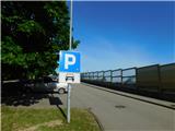 2
2 3
3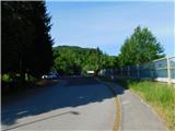 4
4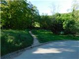 5
5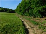 6
6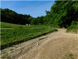 7
7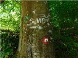 8
8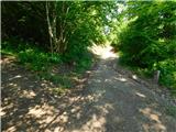 9
9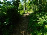 10
10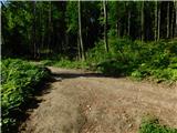 11
11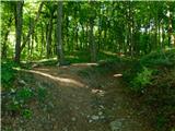 12
12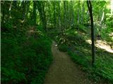 13
13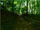 14
14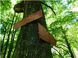 15
15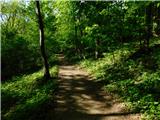 16
16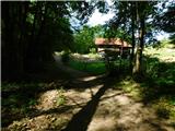 17
17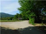 18
18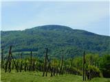 19
19 20
20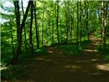 21
21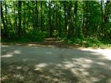 22
22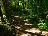 23
23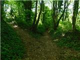 24
24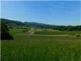 25
25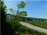 26
26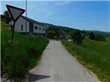 27
27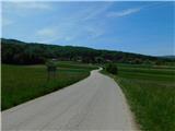 28
28 29
29 30
30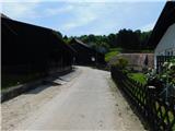 31
31 32
32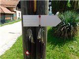 33
33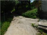 34
34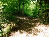 35
35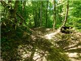 36
36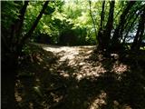 37
37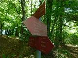 38
38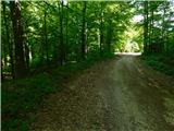 39
39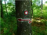 40
40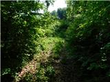 41
41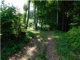 42
42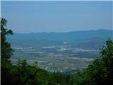 43
43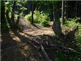 44
44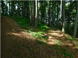 45
45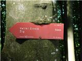 46
46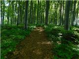 47
47
Discussion about the trip Čatež ob Savi - Veliki Cirnik
To post a comment you must log in:
If you do not yet have a username, you must first
register.