Celldömölk - Ság hegy (Direct steep path)
Starting point: Celldömölk (130 m)
| Latitude/Longitude: | 47,23430°N 17,13520°E |
| |
Route name: Direct steep path
Walking time: 30 min
Difficulty: easy unmarked way
Elevation gain: 149 m
Elevation difference along the route: 149 m
Map:
Recommended equipment (summer):
Recommended equipment (winter):
Views: 149
 | 1 person like this post |
Access to starting point:
We enter Hungary at the border crossing Dolga vas – Rédics. We continue the drive to the town of Sombotel / Szombathely. On the bypass around Sombotel, we take the Zanát exit (Burger King is at the roundabout) and continue through the settlements Zanát, Nemesböd and Vát. After the village of Vát, at the junction we turn right towards the town of Sárvár. On the bypass around Sárvár, at the roundabout we turn east towards the settlement of Celldömölk.
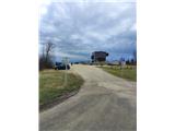
In Celldömölk we drive into the town and continue south towards the settlement of Jánosháza. We drive through the southern part of the town until we spot the tourist sign for Ság hegy. We drive almost to the foot of the volcano and park in a suitable place, best at the large parking lot of the VulkánPark museum.
Note: The section between Sombotel and Vát can also be covered by motorway, but a Hungarian vignette is required for that.
Route description:
From the museum, we continue the path eastwards. Orientation is simple, as the volcano rises directly in front of us. At the junction shortly after the starting point, we turn left (the path straight ahead leads between farms and vineyards), then immediately right into Lázár Jenő street. The road begins to climb and brings us to the information centre.
Here we turn left onto the stairs, which lead us to a junction by the museum and the ruins of the old castle. We turn right again and climb the next stairs to the summit plateau of the volcano, where a large cross stands, erected in memory of the Trianon Treaty.
For many hikers, this is already the final goal. The actual summit of the volcano is only a minute's walk from the cross, but the path to it is quite demanding, leads over rocky terrain and is not secured.
Photos:
 1
1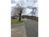 2
2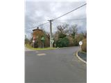 3
3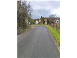 4
4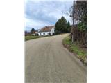 5
5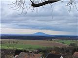 6
6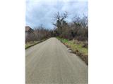 7
7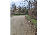 8
8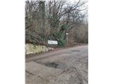 9
9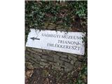 10
10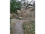 11
11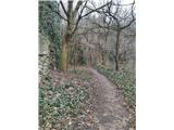 12
12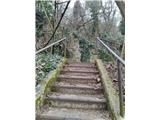 13
13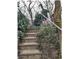 14
14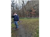 15
15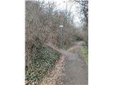 16
16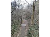 17
17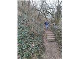 18
18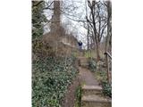 19
19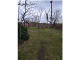 20
20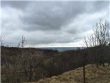 21
21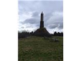 22
22 23
23
Discussion about the trip Celldömölk - Ság hegy (Direct steep path)
To post a comment you must log in:
If you do not yet have a username, you must first
register.