Starting point: Čepulje (672 m)
| Latitude/Longitude: | 46,23260°N 14,28320°E |
| |
Walking time: 40 min
Difficulty: easy marked way
Elevation gain: 165 m
Elevation difference along the route: 185 m
Map: Škofjeloško in Cerkljansko hribovje 1:50.000
Recommended equipment (summer):
Recommended equipment (winter):
Views: 8.567
 | 2 people like this post |
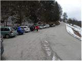
Access to starting point:
First, we drive to Kranj (Labore), and from there we continue driving in the direction of Stražišče, Pševa and Sveti Jošt nad Kranjem. Higher up, we arrive at the village Javornik, from which a road branches off to the right towards the top of Jošt, and we continue straight in the direction of the village Čepulje. When we arrive in Čepulje, we continue right (left Planica and Lavtarski Vrh) and continue driving for approximately 100 m to the marked parking lot.
Route description:
From the parking lot, we head onto the steep road in the direction of Špičasti hrib and Sveti Mohor. The road, which runs through the forest, flattens higher up and then continues with some shorter ascents and descents. When the road after approximately 20 minutes of walking reaches the western slopes, we need to pay attention, because on the right side we will notice the beginning of the footpath that leads to Špičasti hrib (the turn-off is marked, but harder to notice). We head onto the mentioned footpath, which first ascends steeply and then brings us quickly to the mentioned peak in a moderate ascent through the forest.
Photos:
 1
1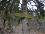 2
2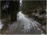 3
3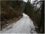 4
4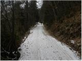 5
5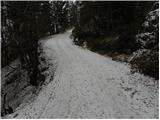 6
6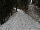 7
7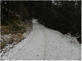 8
8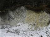 9
9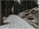 10
10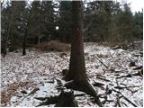 11
11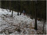 12
12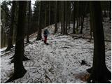 13
13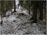 14
14 15
15
Discussion about the trip Čepulje - Špičasti hrib
|
| baloncek0518. 06. 2021 12:47:21 |
How long is the walk from Špičasti hrib to Jošt?
|
|
|
|
| Kranj18. 06. 2021 17:30:43 |
Half an hour, nice loop trail if you start from the fish farm.
|
|
|
|
| grega_p19. 11. 2024 13:50:23 |
The summit has some views (partly due to logging, partly due to fallen leaves), to the NW towards Jamnik and part of Gorenjska, and to the S and SE towards Planica and the Sava plain up to Šmarna gora.
Likewise, on the northern path behind Gladki hrib there is a nice viewpoint towards Besnica.
|
|
|
To post a comment you must log in:
If you do not yet have a username, you must first
register.